canton of Argentat (canton d'Argentat)
- canton of France
- Country:

- Capital: Argentat
- Coordinates: 45° 5' 39" N, 1° 56' 19" E


- GPS tracks (wikiloc): [Link]
- Population: 12061
- Wikipedia en: wiki(en)
- Wikipedia: wiki(fr)
- Wikidata storage: Wikidata: Q1606322
- Freebase ID: [/m/0j9p833]
- INSEE canton code: [1902]
Includes regions:
Saint-Hilaire-Taurieux
- commune in Corrèze, France
- Country:

- Postal Code: 19400
- Coordinates: 45° 5' 3" N, 1° 49' 55" E


- GPS tracks (wikiloc): [Link]
- Area: 8.61 sq km
- Population: 94
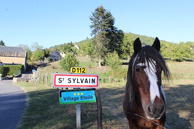

Saint-Sylvain
- commune in Corrèze, France
- Country:

- Postal Code: 19380
- Coordinates: 45° 10' 31" N, 1° 52' 32" E


- GPS tracks (wikiloc): [Link]
- Area: 7.49 sq km
- Population: 140
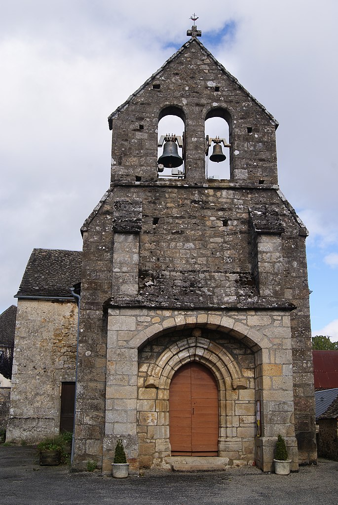

Saint-Martial-Entraygues
- commune in Corrèze, France
- Country:

- Postal Code: 19400
- Coordinates: 45° 7' 14" N, 1° 58' 24" E


- GPS tracks (wikiloc): [Link]
- Area: 7.39 sq km
- Population: 79

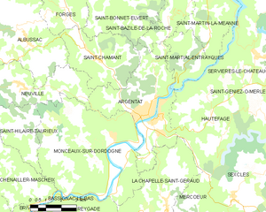
Argentat
- former commune in Corrèze, France
- Country:

- Postal Code: 19400
- Coordinates: 45° 5' 36" N, 1° 56' 16" E


- GPS tracks (wikiloc): [Link]
- Area: 22.41 sq km
- Population: 2961
- Web site: [Link]


Albussac
- commune in Corrèze, France
- Country:

- Postal Code: 19380
- Coordinates: 45° 8' 17" N, 1° 50' 8" E


- GPS tracks (wikiloc): [Link]
- Area: 36.26 sq km
- Population: 713
- Web site: [Link]


Saint-Chamant
- commune in Corrèze, France
- Country:

- Postal Code: 19380
- Coordinates: 45° 7' 34" N, 1° 53' 44" E


- GPS tracks (wikiloc): [Link]
- Area: 14.05 sq km
- Population: 496


Forgès
- commune in Corrèze, France
- Country:

- Postal Code: 19380
- Coordinates: 45° 9' 20" N, 1° 52' 12" E


- GPS tracks (wikiloc): [Link]
- Area: 10.43 sq km
- Population: 322

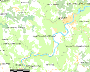
Monceaux-sur-Dordogne
- commune in Corrèze, France
- Country:

- Postal Code: 19400
- Coordinates: 45° 4' 54" N, 1° 54' 28" E


- GPS tracks (wikiloc): [Link]
- Area: 36.93 sq km
- Population: 641
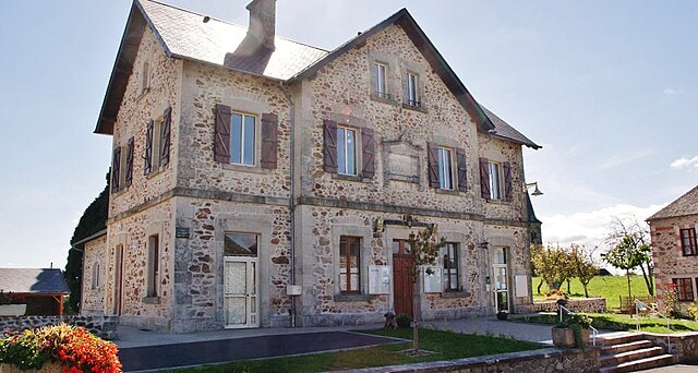

Saint-Bonnet-Elvert
- commune in Corrèze, France
- Country:

- Postal Code: 19380
- Coordinates: 45° 9' 43" N, 1° 54' 13" E


- GPS tracks (wikiloc): [Link]
- Area: 18.37 sq km
- Population: 207


Neuville
- commune in Corrèze, France
- Country:

- Postal Code: 19380
- Coordinates: 45° 6' 41" N, 1° 49' 49" E


- GPS tracks (wikiloc): [Link]
- Area: 14.29 sq km
- Population: 192
Ménoire
- commune in Corrèze, France
- Country:

- Postal Code: 19190
- Coordinates: 45° 6' 20" N, 1° 47' 28" E


- GPS tracks (wikiloc): [Link]
- Area: 6.43 sq km
- Population: 110
