canton of Arpajon-sur-Cère (canton d'Arpajon-sur-Cère)

- canton of France
- Country:

- Capital: Arpajon-sur-Cère
- Coordinates: 44° 54' 17" N, 2° 27' 27" E


- GPS tracks (wikiloc): [Link]
- Population: 11690
- Wikipedia en: wiki(en)
- Wikipedia: wiki(fr)
- Wikidata storage: Wikidata: Q1512955
- INSEE canton code: [1501]
Includes regions:
Vezels-Roussy
- commune in Cantal, France
- Country:
- Postal Code: 15130
- Coordinates: 44° 48' 32" N, 2° 35' 7" E
- GPS tracks (wikiloc): [Link]
- Area: 12.87 sq km
- Population: 138


Arpajon-sur-Cère
- commune in Cantal, France
- Country:
- Postal Code: 15130
- Coordinates: 44° 54' 14" N, 2° 27' 24" E
- GPS tracks (wikiloc): [Link]
- Area: 47.67 sq km
- Population: 6252
- Web site: [Link]
Teissières-lès-Bouliès
- commune in Cantal, France
- Country:
- Postal Code: 15130
- Coordinates: 44° 49' 21" N, 2° 32' 37" E
- GPS tracks (wikiloc): [Link]
- AboveSeaLevel: 720 м m
- Area: 19.51 sq km
- Population: 319


Labrousse
- commune in Cantal, France
- Country:
- Postal Code: 15130
- Coordinates: 44° 51' 23" N, 2° 32' 32" E
- GPS tracks (wikiloc): [Link]
- Area: 19.86 sq km
- Population: 488
- Web site: [Link]
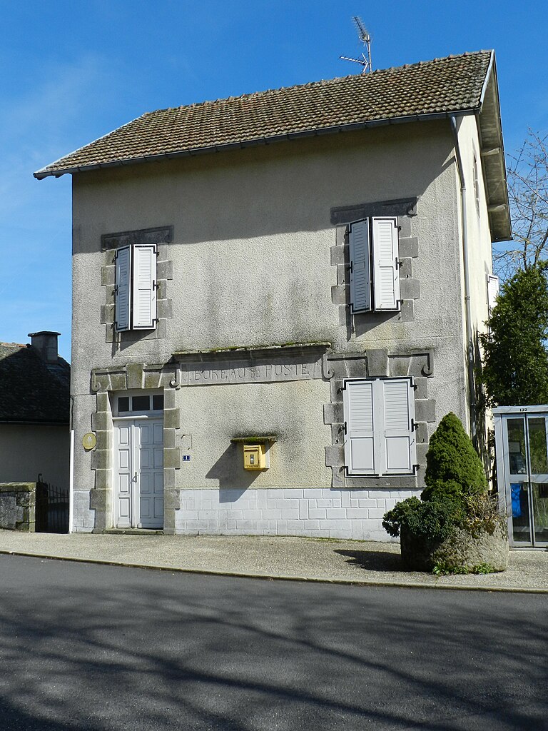
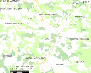
Prunet
- commune in Cantal, France
- Country:
- Postal Code: 15130
- Coordinates: 44° 49' 13" N, 2° 27' 48" E
- GPS tracks (wikiloc): [Link]
- Area: 27.34 sq km
- Population: 650


Vézac
- commune in Cantal, France
- Country:
- Postal Code: 15130
- Coordinates: 44° 53' 35" N, 2° 31' 10" E
- GPS tracks (wikiloc): [Link]
- AboveSeaLevel: 650 м m
- Area: 15.02 sq km
- Population: 1176