canton of Béthune-Est (canton de Béthune-Est)
- canton of France
- Country:

- Capital: Béthune
- Coordinates: 50° 33' 21" N, 2° 40' 9" E


- GPS tracks (wikiloc): [Link]
- Wikipedia en: wiki(en)
- Wikipedia: wiki(fr)
- Wikidata storage: Wikidata: Q1724667
- Freebase ID: [/m/03c3nj_]
- INSEE canton code: [6270]
Includes regions:


Vieille-Chapelle
- commune in Pas-de-Calais, France
- Country:
- Postal Code: 62136
- Coordinates: 50° 35' 30" N, 2° 42' 20" E
- GPS tracks (wikiloc): [Link]
- Area: 3.41 sq km
- Population: 792


Locon
- commune in Pas-de-Calais, France
- Country:
- Postal Code: 62400
- Coordinates: 50° 34' 13" N, 2° 40' 0" E
- GPS tracks (wikiloc): [Link]
- Area: 9.52 sq km
- Population: 2385
- Web site: [Link]

Hinges
- commune in Pas-de-Calais, France
- Country:
- Postal Code: 62232
- Coordinates: 50° 33' 55" N, 2° 37' 20" E
- GPS tracks (wikiloc): [Link]
- Area: 8.31 sq km
- Population: 2464
- Web site: [Link]


Verquigneul
- commune in Pas-de-Calais, France
- Country:
- Postal Code: 62113
- Coordinates: 50° 30' 15" N, 2° 39' 44" E
- GPS tracks (wikiloc): [Link]
- Area: 3.54 sq km
- Population: 1904
- Web site: [Link]

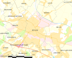
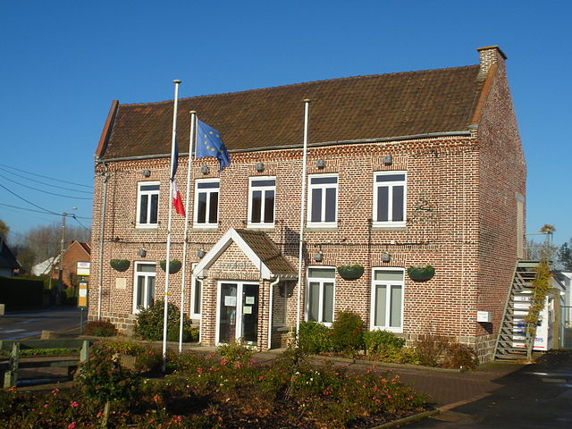
Béthune
- commune in Pas-de-Calais, France
- Country:
- Postal Code: 62400
- Coordinates: 50° 31' 47" N, 2° 38' 24" E
- GPS tracks (wikiloc): [Link]
- Area: 9.46 sq km
- Population: 24995
- Web site: [Link]


La Couture
- commune in Pas-de-Calais, France
- Country:
- Postal Code: 62136
- Coordinates: 50° 34' 53" N, 2° 42' 43" E
- GPS tracks (wikiloc): [Link]
- Area: 13.52 sq km
- Population: 2799
- Web site: [Link]


Essars
- commune in Pas-de-Calais, France
- Country:
- Postal Code: 62400
- Coordinates: 50° 32' 49" N, 2° 39' 52" E
- GPS tracks (wikiloc): [Link]
- Area: 3.72 sq km
- Population: 1606
- Web site: [Link]