canton of Champtoceaux (canton de Champtoceaux)
- canton of France
- Country:

- Capital: Champtoceaux
- Coordinates: 47° 18' 24" N, 1° 12' 55" E


- GPS tracks (wikiloc): [Link]
- Wikipedia en: wiki(en)
- Wikipedia: wiki(fr)
- Wikidata storage: Wikidata: Q1724882
- Freebase ID: [/m/09mb90]
- INSEE canton code: [4909]
Includes regions:

Saint-Laurent-des-Autels
- former commune in Maine-et-Loire, France
- Country:
- Postal Code: 49270
- Coordinates: 47° 17' 7" N, 1° 11' 20" E
- GPS tracks (wikiloc): [Link]
- Area: 18.55 sq km
- Population: 2281
- Web site: [Link]

Saint-Sauveur-de-Landemont
- former commune in Maine-et-Loire, France
- Country:
- Postal Code: 49270
- Coordinates: 47° 17' 3" N, 1° 15' 22" E
- GPS tracks (wikiloc): [Link]
- AboveSeaLevel: 77 м m
- Area: 11.69 sq km
- Population: 999
- Web site: [Link]
Landemont
- former commune in Maine-et-Loire, France
- Country:
- Postal Code: 49270
- Coordinates: 47° 15' 54" N, 1° 14' 32" E
- GPS tracks (wikiloc): [Link]
- Area: 18.67 sq km
- Population: 1774


Bouzillé
- former commune in Maine-et-Loire, France
- Country:
- Postal Code: 49530
- Coordinates: 47° 20' 15" N, 1° 6' 40" E
- GPS tracks (wikiloc): [Link]
- Area: 18.39 sq km
- Population: 1511
- Web site: [Link]


Liré
- former commune in Maine-et-Loire, France
- Country:
- Postal Code: 49530
- Coordinates: 47° 20' 36" N, 1° 9' 52" E
- GPS tracks (wikiloc): [Link]
- Area: 31.81 sq km
- Population: 2511

Drain
- former commune in Maine-et-Loire, France
- Country:
- Postal Code: 49530
- Coordinates: 47° 20' 21" N, 1° 12' 24" E
- GPS tracks (wikiloc): [Link]
- Area: 19.05 sq km
- Population: 2137

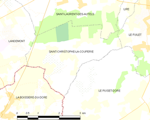
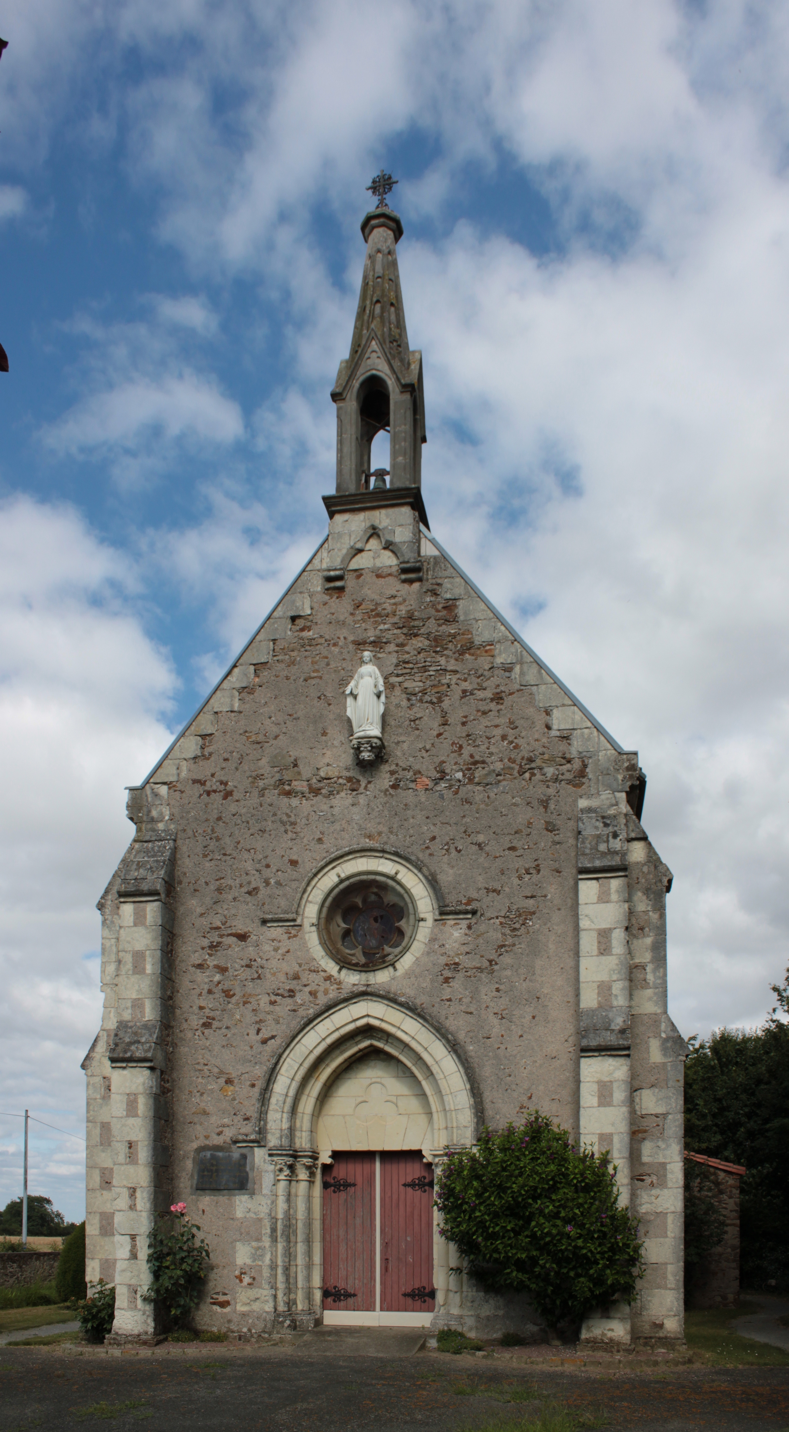
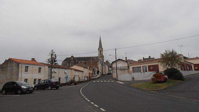
Saint-Christophe-la-Couperie
- former commune in Maine-et-Loire, France
- Country:
- Postal Code: 49270
- Coordinates: 47° 15' 11" N, 1° 10' 52" E
- GPS tracks (wikiloc): [Link]
- AboveSeaLevel: 104 м m
- Area: 8.29 sq km
- Population: 824


Champtoceaux
- former commune in Maine-et-Loire, France
- Country:
- Postal Code: 49270
- Coordinates: 47° 20' 13" N, 1° 16' 0" E
- GPS tracks (wikiloc): [Link]
- Area: 15.54 sq km
- Population: 2463
- Web site: [Link]


La Varenne
- former commune in Maine-et-Loire, France
- Country:
- Postal Code: 49270
- Coordinates: 47° 18' 46" N, 1° 19' 19" E
- GPS tracks (wikiloc): [Link]
- Area: 14.35 sq km
- Population: 1744
- Web site: [Link]