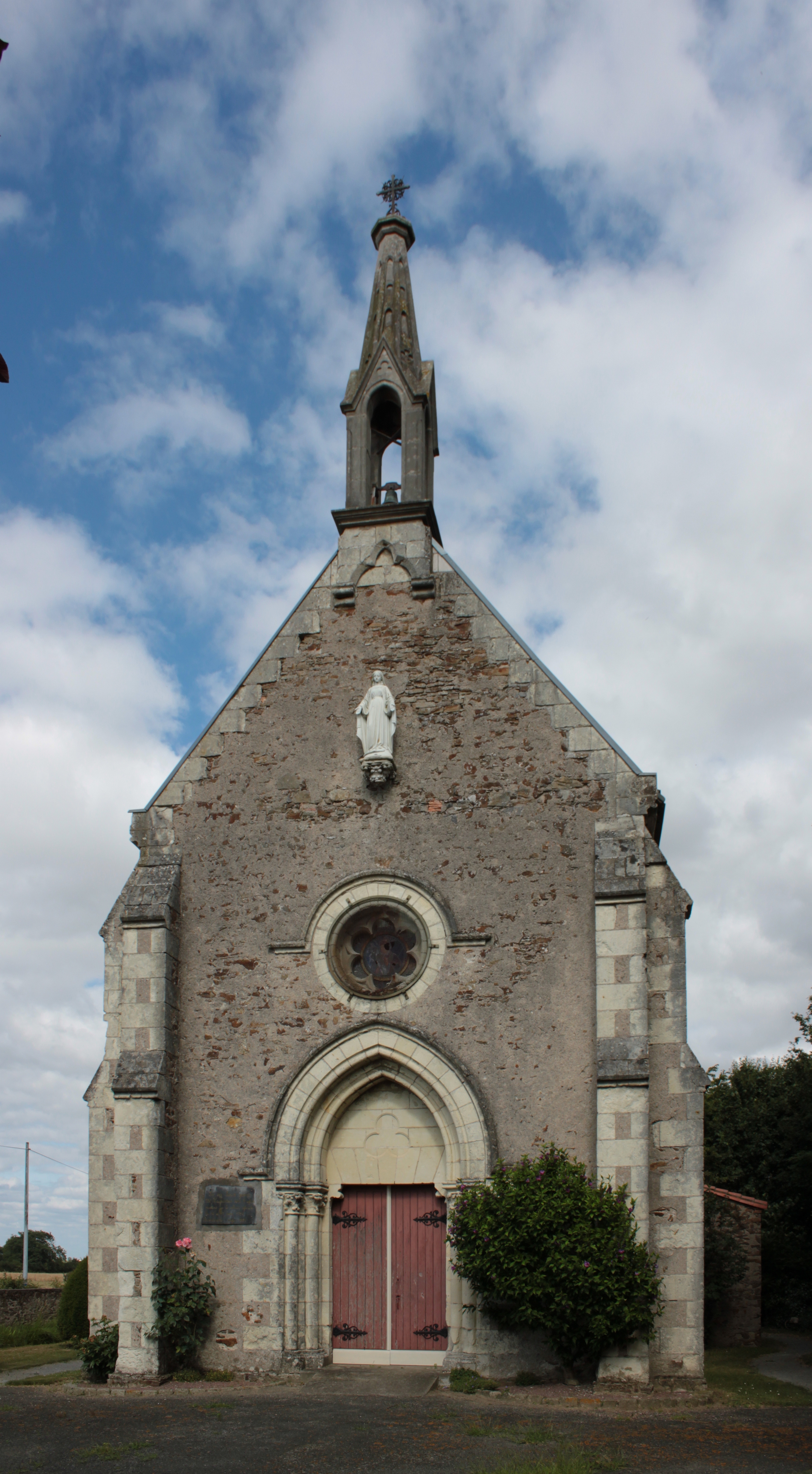
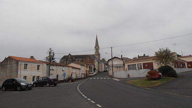
Liré (Liré)

- former commune in Maine-et-Loire, France
- Country:

- Postal Code: 49530
- Coordinates: 47° 20' 36" N, 1° 9' 52" E


- GPS tracks (wikiloc): [Link]
- Area: 31.81 sq km
- Population: 2511
- Wikipedia en: wiki(en)
- Wikipedia: wiki(fr)
- Wikidata storage: Wikidata: Q586464
- Wikipedia Commons Category: [Link]
- Freebase ID: [/m/03w9jpx]
- GeoNames ID: Alt: [2998165]
- BnF ID: [11877144q]
- VIAF ID: Alt: [143075423]
- Library of Congress authority ID: Alt: [n85340857]
- SUDOC authorities ID: [026543362]
- ISNI: Alt: [0000 0001 2173 7325]
- NKCR AUT ID: [kn20120302003]
- INSEE municipality code: 49177
Shares border with regions:


Le Fuilet
- former commune in Maine-et-Loire, France
- Country:
- Postal Code: 49270
- Coordinates: 47° 16' 52" N, 1° 6' 57" E
- GPS tracks (wikiloc): [Link]
- Area: 15.43 sq km
- Population: 1954

Saint-Laurent-des-Autels
- former commune in Maine-et-Loire, France
- Country:
- Postal Code: 49270
- Coordinates: 47° 17' 7" N, 1° 11' 20" E
- GPS tracks (wikiloc): [Link]
- Area: 18.55 sq km
- Population: 2281
- Web site: [Link]


Ancenis
- commune in Loire-Atlantique, France
- Country:
- Postal Code: 44150
- Coordinates: 47° 22' 22" N, 1° 10' 42" E
- GPS tracks (wikiloc): [Link]
- Area: 20.07 sq km
- Population: 7510
- Web site: [Link]


Bouzillé
- former commune in Maine-et-Loire, France
- Country:
- Postal Code: 49530
- Coordinates: 47° 20' 15" N, 1° 6' 40" E
- GPS tracks (wikiloc): [Link]
- Area: 18.39 sq km
- Population: 1511
- Web site: [Link]

Drain
- former commune in Maine-et-Loire, France
- Country:
- Postal Code: 49530
- Coordinates: 47° 20' 21" N, 1° 12' 24" E
- GPS tracks (wikiloc): [Link]
- Area: 19.05 sq km
- Population: 2137


Anetz
- former commune in Loire-Atlantique, France
- Country:
- Postal Code: 44150
- Coordinates: 47° 22' 56" N, 1° 6' 10" E
- GPS tracks (wikiloc): [Link]
- Area: 14.83 sq km
- Population: 2091
- Web site: [Link]