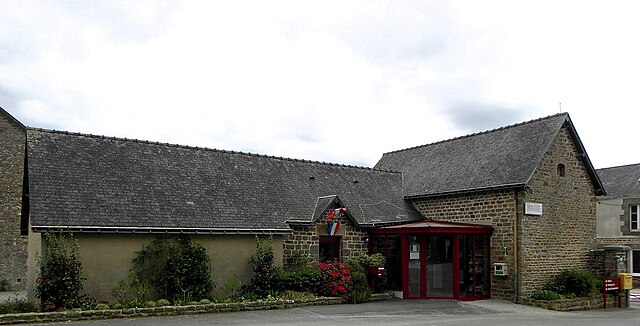
canton of Gorron (canton de Gorron)
- canton of France
- Country:

- Capital: Gorron
- Coordinates: 48° 24' 32" N, 0° 49' 23" E


- GPS tracks (wikiloc): [Link]
- Population: 19317
- Wikipedia en: wiki(en)
- Wikipedia: wiki(fr)
- Wikidata storage: Wikidata: Q660308
- Library of Congress authority ID: Alt: [no2015084258]
- INSEE canton code: [5307]
Includes regions:


Brecé
- commune in Mayenne, France
- Country:

- Postal Code: 53120
- Coordinates: 48° 23' 53" N, 0° 47' 21" E


- GPS tracks (wikiloc): [Link]
- Area: 35.27 sq km
- Population: 822
- Web site: [Link]


Colombiers-du-Plessis
- commune in Mayenne, France
- Country:

- Postal Code: 53120
- Coordinates: 48° 23' 30" N, 0° 50' 26" E


- GPS tracks (wikiloc): [Link]
- Area: 21.97 sq km
- Population: 475


Saint-Mars-sur-Colmont
- commune in Mayenne, France
- Country:

- Postal Code: 53300
- Coordinates: 48° 22' 30" N, 0° 41' 51" E


- GPS tracks (wikiloc): [Link]
- Area: 16.39 sq km
- Population: 469
- Web site: [Link]


Vieuvy
- commune in Mayenne, France
- Country:

- Postal Code: 53120
- Coordinates: 48° 26' 45" N, 0° 51' 49" E


- GPS tracks (wikiloc): [Link]
- Area: 7.11 sq km
- Population: 141


Saint-Aubin-Fosse-Louvain
- commune in Mayenne, France
- Country:

- Postal Code: 53120
- Coordinates: 48° 27' 51" N, 0° 49' 53" E


- GPS tracks (wikiloc): [Link]
- Area: 14.37 sq km
- Population: 220


Hercé
- commune in Mayenne, France
- Country:

- Postal Code: 53120
- Coordinates: 48° 25' 5" N, 0° 51' 11" E


- GPS tracks (wikiloc): [Link]
- Area: 10.2 sq km
- Population: 309


Levaré
- commune in Mayenne, France
- Country:

- Postal Code: 53120
- Coordinates: 48° 25' 4" N, 0° 54' 50" E


- GPS tracks (wikiloc): [Link]
- Area: 11.53 sq km
- Population: 318
- Web site: [Link]


Carelles
- commune in Mayenne, France
- Country:

- Postal Code: 53120
- Coordinates: 48° 22' 57" N, 0° 54' 18" E


- GPS tracks (wikiloc): [Link]
- Area: 13.23 sq km
- Population: 263


Châtillon-sur-Colmont
- commune in Mayenne, France
- Country:

- Postal Code: 53100
- Coordinates: 48° 20' 19" N, 0° 44' 31" E


- GPS tracks (wikiloc): [Link]
- Area: 39.62 sq km
- Population: 1041
- Web site: [Link]


Gorron
- commune in Mayenne, France
- Country:

- Postal Code: 53120
- Coordinates: 48° 24' 42" N, 0° 48' 46" E


- GPS tracks (wikiloc): [Link]
- Area: 14.32 sq km
- Population: 2623
- Web site: [Link]


Lesbois
- commune in Mayenne, France
- Country:

- Postal Code: 53120
- Coordinates: 48° 26' 28" N, 0° 48' 16" E


- GPS tracks (wikiloc): [Link]
- Area: 5.99 sq km
- Population: 194
