canton of Gourdon (canton de Gourdon)
- canton of France
- Country:

- Capital: Gourdon
- Coordinates: 44° 45' 28" N, 1° 24' 16" E


- GPS tracks (wikiloc): [Link]
- Population: 11813
- Wikipedia en: wiki(en)
- Wikipedia: wiki(fr)
- Wikidata storage: Wikidata: Q1305358
- INSEE canton code: [4609]
Includes regions:


Milhac
- commune in Lot, France
- Country:

- Postal Code: 46300
- Coordinates: 44° 47' 54" N, 1° 20' 51" E


- GPS tracks (wikiloc): [Link]
- Area: 5.42 sq km
- Population: 188


Payrignac
- commune in Lot, France
- Country:

- Postal Code: 46300
- Coordinates: 44° 45' 21" N, 1° 21' 1" E


- GPS tracks (wikiloc): [Link]
- Area: 21.64 sq km
- Population: 690
Anglars-Nozac
- commune in Lot, France
- Country:

- Postal Code: 46300
- Coordinates: 44° 47' 13" N, 1° 23' 53" E


- GPS tracks (wikiloc): [Link]
- Area: 9.83 sq km
- Population: 345


Saint-Cirq-Madelon
- commune in Lot, France
- Country:

- Postal Code: 46300
- Coordinates: 44° 47' 29" N, 1° 18' 51" E


- GPS tracks (wikiloc): [Link]
- Area: 7.49 sq km
- Population: 135


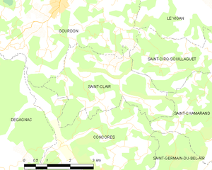
Saint-Clair
- commune in Lot, France
- Country:

- Postal Code: 46300
- Coordinates: 44° 41' 59" N, 1° 24' 40" E


- GPS tracks (wikiloc): [Link]
- Area: 11 sq km
- Population: 150
Saint-Cirq-Souillaguet
- commune in Lot, France
- Country:

- Postal Code: 46300
- Coordinates: 44° 42' 28" N, 1° 27' 31" E


- GPS tracks (wikiloc): [Link]
- Area: 8.54 sq km
- Population: 159


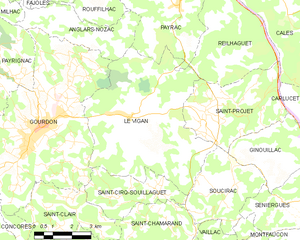
Le Vigan
- commune in Lot, France
- Country:

- Postal Code: 46300
- Coordinates: 44° 44' 30" N, 1° 26' 20" E


- GPS tracks (wikiloc): [Link]
- Area: 34.4 sq km
- Population: 1568


Saint-Projet
- commune in Lot, France
- Country:

- Postal Code: 46300
- Coordinates: 44° 44' 41" N, 1° 29' 26" E


- GPS tracks (wikiloc): [Link]
- AboveSeaLevel: 351 м m
- Area: 15.83 sq km
- Population: 349


Gourdon
- commune in Lot, France
- Country:

- Postal Code: 46300
- Coordinates: 44° 44' 14" N, 1° 22' 58" E


- GPS tracks (wikiloc): [Link]
- AboveSeaLevel: 263 м m
- Area: 45.56 sq km
- Population: 4321
- Web site: [Link]


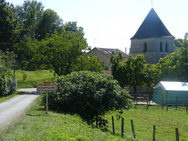
Rouffilhac
- commune in Lot, France
- Country:

- Postal Code: 46300
- Coordinates: 44° 47' 22" N, 1° 24' 56" E


- GPS tracks (wikiloc): [Link]
- Area: 6.5 sq km
- Population: 183
