canton of Haut-Vivarais (canton du Haut-Vivarais)

- canton of France
- Country:

- Capital: Lamastre
- Coordinates: 44° 59' 0" N, 4° 35' 0" E


- GPS tracks (wikiloc): [Link]
- Population: 21283
- Wikipedia en: wiki(en)
- Wikipedia: wiki(fr)
- Wikidata storage: Wikidata: Q788290
- Library of Congress authority ID: Alt: [n85137410]
- INSEE canton code: [0708]
Includes regions:


Empurany
- commune in Ardèche, France
- Country:
- Postal Code: 07270
- Coordinates: 45° 1' 28" N, 4° 36' 31" E
- GPS tracks (wikiloc): [Link]
- Area: 18.94 sq km
- Population: 580

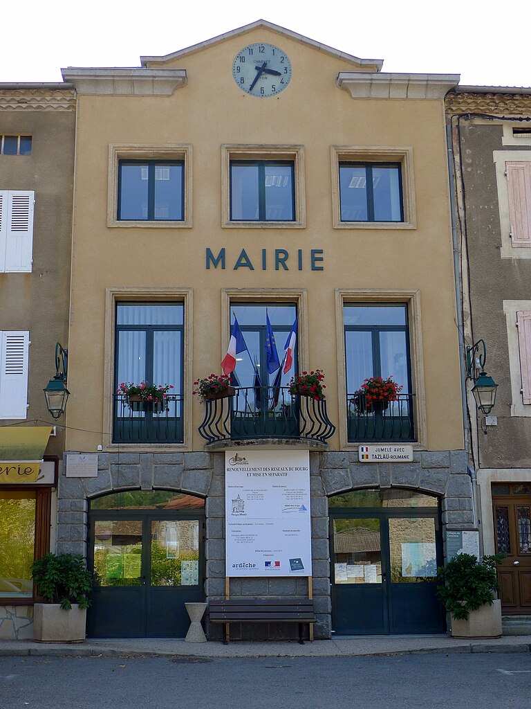
Lamastre
- commune in Ardèche, France
- Country:
- Postal Code: 07270
- Coordinates: 44° 59' 8" N, 4° 34' 51" E
- GPS tracks (wikiloc): [Link]
- Area: 25.45 sq km
- Population: 2361
- Web site: [Link]

Nozières
- commune in Ardèche, France
- Country:
- Postal Code: 07270
- Coordinates: 45° 1' 43" N, 4° 32' 37" E
- GPS tracks (wikiloc): [Link]
- Area: 21.79 sq km
- Population: 258

Saint-Prix
- commune in Ardèche, France
- Country:
- Postal Code: 07270
- Coordinates: 44° 56' 34" N, 4° 30' 3" E
- GPS tracks (wikiloc): [Link]
- Area: 15.21 sq km
- Population: 276

Le Crestet
- commune in Ardèche, France
- Country:
- Postal Code: 07270
- Coordinates: 45° 0' 52" N, 4° 39' 18" E
- GPS tracks (wikiloc): [Link]
- Area: 9.91 sq km
- Population: 523
- Web site: [Link]

Gilhoc-sur-Ormèze
- commune in Ardèche, France
- Country:
- Postal Code: 07270
- Coordinates: 44° 59' 11" N, 4° 41' 17" E
- GPS tracks (wikiloc): [Link]
- AboveSeaLevel: 500 м m
- Area: 20.74 sq km
- Population: 450

Saint-Barthélemy-Grozon
- commune in Ardèche, France
- Country:
- Postal Code: 07270
- Coordinates: 44° 57' 50" N, 4° 37' 51" E
- GPS tracks (wikiloc): [Link]
- AboveSeaLevel: 556 м m
- Area: 19.4 sq km
- Population: 510

Saint-Basile
- commune in Ardèche, France
- Country:
- Postal Code: 07270
- Coordinates: 44° 57' 23" N, 4° 34' 16" E
- GPS tracks (wikiloc): [Link]
- Area: 17.85 sq km
- Population: 333
Désaignes
- commune in Ardèche, France
- Country:
- Postal Code: 07570
- Coordinates: 44° 59' 41" N, 4° 31' 1" E
- GPS tracks (wikiloc): [Link]
- Area: 50.72 sq km
- Population: 1087