canton of La Couronne (canton de La Couronne)

- canton of France
- Country:

- Capital: La Couronne
- Coordinates: 45° 36' 30" N, 0° 6' 3" E


- GPS tracks (wikiloc): [Link]
- Population: 15703
- Wikipedia en: wiki(en)
- Wikipedia: wiki(fr)
- Wikidata storage: Wikidata: Q431891
- INSEE canton code: [1613]
Includes regions:
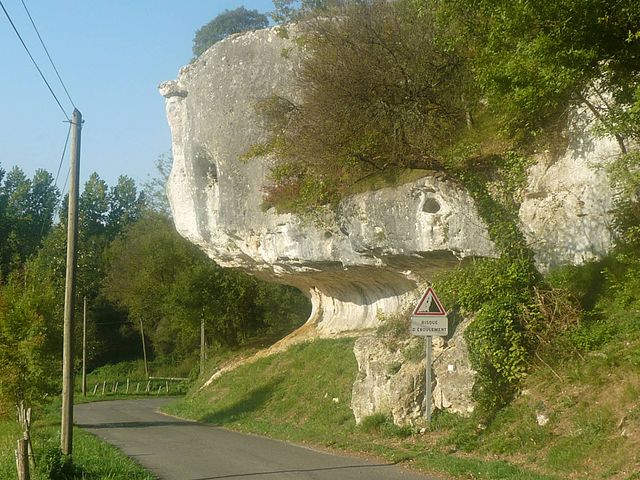

Puymoyen
- commune in Charente, France
- Country:
- Postal Code: 16400
- Coordinates: 45° 36' 49" N, 0° 10' 51" E
- GPS tracks (wikiloc): [Link]
- Area: 7.26 sq km
- Population: 2396
- Web site: [Link]


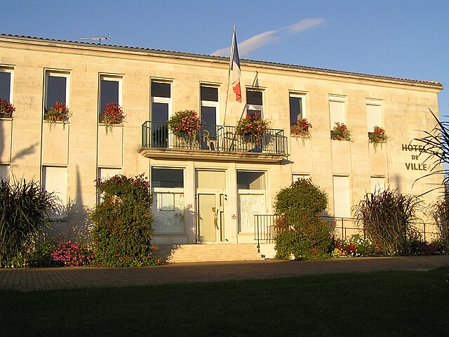
Roullet-Saint-Estèphe
- commune in Charente, France
- Country:
- Postal Code: 16440
- Coordinates: 45° 35' 1" N, 0° 2' 50" E
- GPS tracks (wikiloc): [Link]
- AboveSeaLevel: 26 м m
- Area: 41.5 sq km
- Population: 4251
- Web site: [Link]

Saint-Michel
- commune in Charente, France
- Country:
- Postal Code: 16470
- Coordinates: 45° 38' 31" N, 0° 6' 23" E
- GPS tracks (wikiloc): [Link]
- Area: 2.46 sq km
- Population: 3253
- Web site: [Link]

Nersac
- commune in Charente, France
- Country:
- Postal Code: 16440
- Coordinates: 45° 37' 33" N, 0° 3' 3" E
- GPS tracks (wikiloc): [Link]
- Area: 9.24 sq km
- Population: 2398
- Web site: [Link]

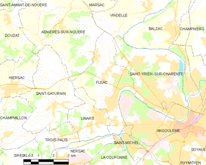
Fléac
- commune in Charente, France
- Country:
- Postal Code: 16730
- Coordinates: 45° 39' 55" N, 0° 5' 37" E
- GPS tracks (wikiloc): [Link]
- Area: 12.6 sq km
- Population: 3708
- Web site: [Link]

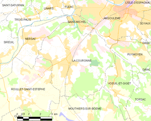
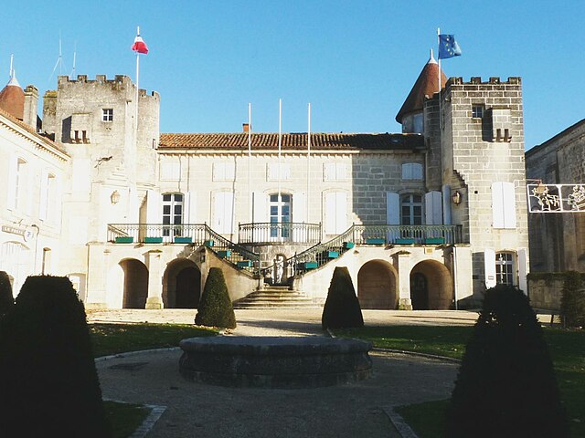
La Couronne
- commune in Charente, France
- Country:
- Postal Code: 16400
- Coordinates: 45° 36' 27" N, 0° 6' 0" E
- GPS tracks (wikiloc): [Link]
- Area: 28.82 sq km
- Population: 7656
- Web site: [Link]


Vœuil-et-Giget
- commune in Charente, France
- Country:
- Postal Code: 16400
- Coordinates: 45° 35' 10" N, 0° 9' 16" E
- GPS tracks (wikiloc): [Link]
- Area: 8.48 sq km
- Population: 1505