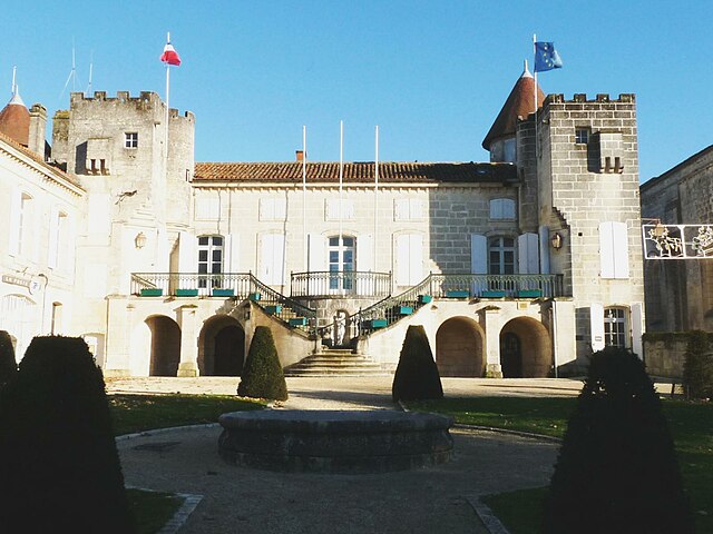
Saint-Michel (Saint-Michel)

- commune in Charente, France
- Country:

- Postal Code: 16470
- Coordinates: 45° 38' 31" N, 0° 6' 23" E


- GPS tracks (wikiloc): [Link]
- Area: 2.46 sq km
- Population: 3253
- Web site: http://www.stmichel-entraygues.fr
- Wikipedia en: wiki(en)
- Wikipedia: wiki(fr)
- Wikidata storage: Wikidata: Q1437928
- Wikipedia Commons Category: [Link]
- Freebase ID: [/m/03mcdkg]
- GeoNames ID: Alt: [6427846]
- SIREN number: [211603410]
- BnF ID: [15248778t]
- INSEE municipality code: 16341
Shares border with regions:


Angoulême
- commune in Charente, France
- Country:
- Postal Code: 16000
- Coordinates: 45° 38' 58" N, 0° 9' 34" E
- GPS tracks (wikiloc): [Link]
- AboveSeaLevel: 100 м m
- Area: 21.85 sq km
- Population: 42081
- Web site: [Link]

Nersac
- commune in Charente, France
- Country:
- Postal Code: 16440
- Coordinates: 45° 37' 33" N, 0° 3' 3" E
- GPS tracks (wikiloc): [Link]
- Area: 9.24 sq km
- Population: 2398
- Web site: [Link]

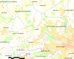
Fléac
- commune in Charente, France
- Country:
- Postal Code: 16730
- Coordinates: 45° 39' 55" N, 0° 5' 37" E
- GPS tracks (wikiloc): [Link]
- Area: 12.6 sq km
- Population: 3708
- Web site: [Link]

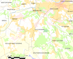
La Couronne
- commune in Charente, France
- Country:
- Postal Code: 16400
- Coordinates: 45° 36' 27" N, 0° 6' 0" E
- GPS tracks (wikiloc): [Link]
- Area: 28.82 sq km
- Population: 7656
- Web site: [Link]