canton of Lesneven (canton de Lesneven)
.png)
- canton of France
- Country:

- Capital: Lesneven
- Coordinates: 48° 36' 7" N, 4° 18' 46" E


- GPS tracks (wikiloc): [Link]
- Population: 35940
- Wikipedia en: wiki(en)
- Wikipedia: wiki(fr)
- Wikidata storage: Wikidata: Q1725895
- Wikipedia Commons Category: [Link]
- INSEE canton code: [2915]
Includes regions:

Saint-Méen
- commune in Finistère, France
- Country:
- Postal Code: 29260
- Coordinates: 48° 33' 40" N, 4° 15' 56" E
- GPS tracks (wikiloc): [Link]
- Area: 11.74 sq km
- Population: 895


Brignogan-Plages
- former commune in Finistère, France
- Country:
- Postal Code: 29890
- Coordinates: 48° 39' 52" N, 4° 19' 34" E
- GPS tracks (wikiloc): [Link]
- Area: 3.6 sq km
- Population: 735

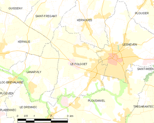
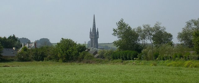
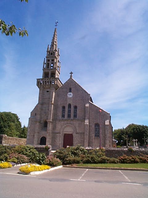
Le Folgoët
- commune in Finistère, France
- Country:
- Postal Code: 29260
- Coordinates: 48° 33' 44" N, 4° 20' 4" E
- GPS tracks (wikiloc): [Link]
- Area: 9.77 sq km
- Population: 3156
- Web site: [Link]


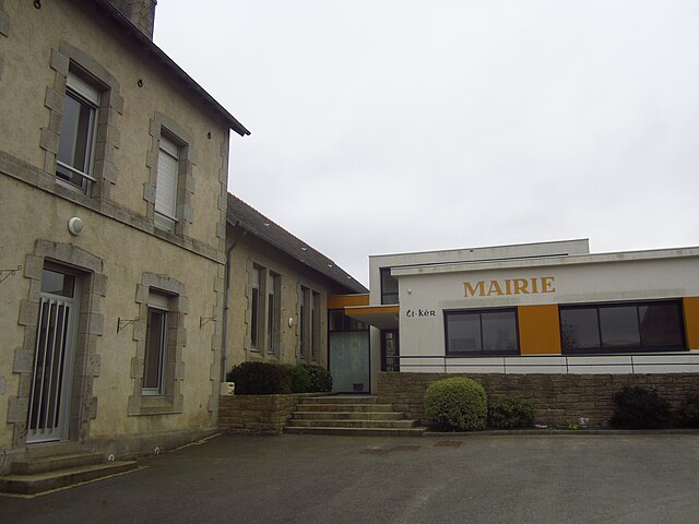
Lesneven
- commune in Finistère, France
- Country:
- Postal Code: 29260
- Coordinates: 48° 34' 19" N, 4° 19' 20" E
- GPS tracks (wikiloc): [Link]
- Area: 10.27 sq km
- Population: 7290
- Web site: [Link]


Kernouës
- commune in Finistère, France
- Country:
- Postal Code: 29260
- Coordinates: 48° 35' 27" N, 4° 20' 55" E
- GPS tracks (wikiloc): [Link]
- Area: 7.78 sq km
- Population: 713

Goulven
- commune in Finistère, France
- Country:
- Postal Code: 29890
- Coordinates: 48° 37' 42" N, 4° 18' 4" E
- GPS tracks (wikiloc): [Link]
- Area: 6.38 sq km
- Population: 449


Kerlouan
- commune in Finistère, France
- Country:
- Postal Code: 29890
- Coordinates: 48° 38' 40" N, 4° 22' 2" E
- GPS tracks (wikiloc): [Link]
- Area: 17.8 sq km
- Population: 2207
- Web site: [Link]


Saint-Frégant
- commune in Finistère, France
- Country:
- Postal Code: 29260
- Coordinates: 48° 36' 8" N, 4° 22' 3" E
- GPS tracks (wikiloc): [Link]
- Area: 8.41 sq km
- Population: 796
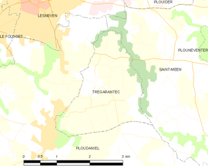
Trégarantec
- commune in Finistère, France
- Country:
- Postal Code: 29260
- Coordinates: 48° 33' 4" N, 4° 17' 39" E
- GPS tracks (wikiloc): [Link]
- Area: 5.21 sq km
- Population: 568

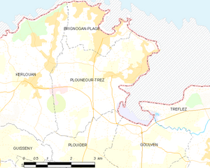
Plounéour-Trez
- former commune in Finistère, France
- Country:
- Postal Code: 29890
- Coordinates: 48° 39' 2" N, 4° 19' 5" E
- GPS tracks (wikiloc): [Link]
- Area: 10.68 sq km
- Population: 1212
- Web site: [Link]


Plouider
- commune in Finistère, France
- Country:
- Postal Code: 29260
- Coordinates: 48° 37' 0" N, 4° 18' 0" E
- GPS tracks (wikiloc): [Link]
- Area: 23.63 sq km
- Population: 1884
- Web site: [Link]


Ploudaniel
- commune in Finistère, France
- Country:
- Postal Code: 29260
- Coordinates: 48° 32' 13" N, 4° 18' 47" E
- GPS tracks (wikiloc): [Link]
- Area: 46.28 sq km
- Population: 3658
- Web site: [Link]