canton of Montlouis-sur-Loire (canton de Montlouis-sur-Loire)

- canton of France
- Country:

- Capital: Montlouis-sur-Loire
- Coordinates: 47° 22' 43" N, 0° 47' 36" E


- GPS tracks (wikiloc): [Link]
- Population: 33854
- Wikipedia en: wiki(en)
- Wikipedia: wiki(fr)
- Wikidata storage: Wikidata: Q1393896
- INSEE canton code: [3710]
Includes regions:
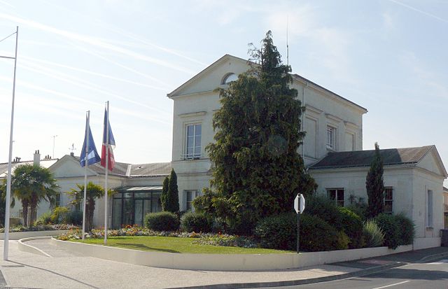

La Ville-aux-Dames
- commune in Indre-et-Loire, France
- Country:
- Postal Code: 37700
- Coordinates: 47° 23' 45" N, 0° 45' 52" E
- GPS tracks (wikiloc): [Link]
- Area: 8 sq km
- Population: 5305
- Web site: [Link]
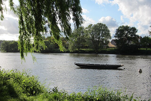

Véretz
- commune in Indre-et-Loire, France
- Country:
- Postal Code: 37270
- Coordinates: 47° 21' 35" N, 0° 48' 20" E
- GPS tracks (wikiloc): [Link]
- Area: 13.86 sq km
- Population: 4383
- Web site: [Link]
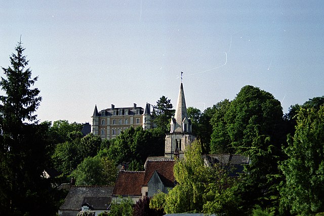

Larçay
- commune in Indre-et-Loire, France
- Country:
- Postal Code: 37270
- Coordinates: 47° 22' 5" N, 0° 46' 48" E
- GPS tracks (wikiloc): [Link]
- Area: 11.19 sq km
- Population: 2413
- Web site: [Link]
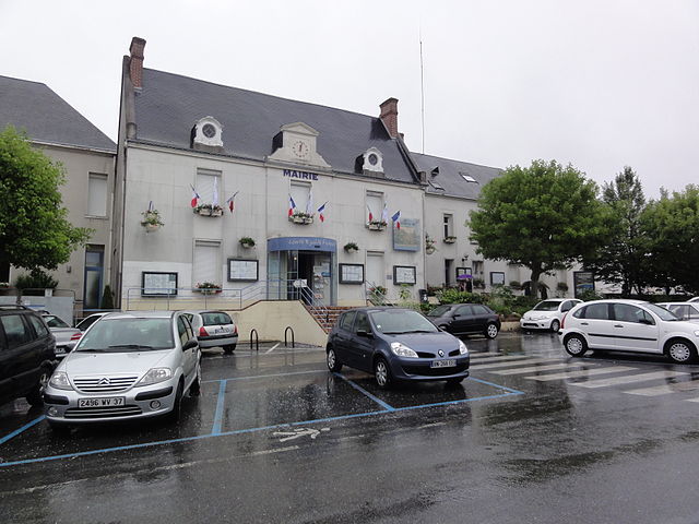

Montlouis-sur-Loire
- commune in Indre-et-Loire, France
- Country:
- Postal Code: 37270
- Coordinates: 47° 23' 18" N, 0° 49' 38" E
- GPS tracks (wikiloc): [Link]
- Area: 24.55 sq km
- Population: 10609
- Web site: [Link]