canton of Roisel (canton de Roisel)
- canton of France (until March 2015)
- Country:

- Capital: Roisel
- Coordinates: 49° 56' 47" N, 3° 5' 55" E


- GPS tracks (wikiloc): [Link]
- Wikipedia en: wiki(en)
- Wikipedia: wiki(fr)
- Wikidata storage: Wikidata: Q1032358
- Freebase ID: [/m/03y1cdk]
- INSEE canton code: [8036]
Includes regions:


Hancourt
- commune in Somme, France
- Country:
- Postal Code: 80240
- Coordinates: 49° 54' 12" N, 3° 4' 21" E
- GPS tracks (wikiloc): [Link]
- Area: 4.06 sq km
- Population: 97

Bernes
- commune in Somme, France
- Country:
- Postal Code: 80240
- Coordinates: 49° 54' 32" N, 3° 5' 55" E
- GPS tracks (wikiloc): [Link]
- Area: 7.61 sq km
- Population: 353
- Web site: [Link]


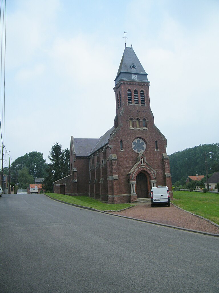
Liéramont
- commune in Somme, France
- Country:
- Postal Code: 80240
- Coordinates: 49° 59' 38" N, 3° 2' 58" E
- GPS tracks (wikiloc): [Link]
- Area: 7.29 sq km
- Population: 233

Heudicourt
- commune in Somme, France
- Country:
- Postal Code: 80122
- Coordinates: 50° 1' 23" N, 3° 4' 44" E
- GPS tracks (wikiloc): [Link]
- Area: 12.71 sq km
- Population: 532

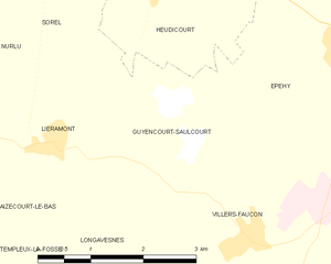
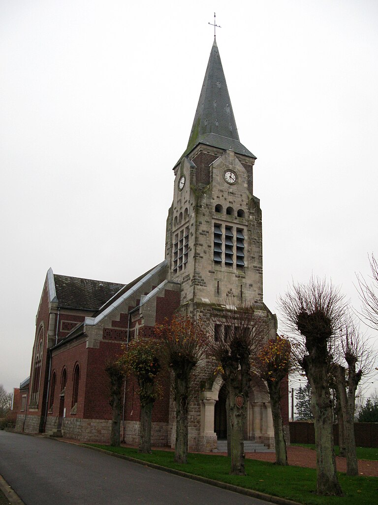
Guyencourt-Saulcourt
- commune in Somme, France
- Country:
- Postal Code: 80240
- Coordinates: 49° 59' 58" N, 3° 4' 47" E
- GPS tracks (wikiloc): [Link]
- Area: 5 sq km
- Population: 145


Fins
- commune in Somme, France
- Country:
- Postal Code: 80360
- Coordinates: 50° 2' 6" N, 3° 2' 31" E
- GPS tracks (wikiloc): [Link]
- Area: 6.87 sq km
- Population: 282


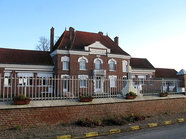
Roisel
- commune in Somme, France
- Country:
- Postal Code: 80240
- Coordinates: 49° 56' 45" N, 3° 5' 52" E
- GPS tracks (wikiloc): [Link]
- Area: 10.16 sq km
- Population: 1700


Aizecourt-le-Bas
- commune in Somme, France
- Country:
- Postal Code: 80240
- Coordinates: 49° 58' 52" N, 3° 2' 1" E
- GPS tracks (wikiloc): [Link]
- Area: 3.57 sq km
- Population: 60


Longavesnes
- commune in Somme, France
- Country:
- Postal Code: 80240
- Coordinates: 49° 58' 16" N, 3° 3' 34" E
- GPS tracks (wikiloc): [Link]
- Area: 4.09 sq km
- Population: 88

Marquaix
- commune in Somme, France
- Country:
- Postal Code: 80240
- Coordinates: 49° 56' 42" N, 3° 4' 30" E
- GPS tracks (wikiloc): [Link]
- Area: 5.29 sq km
- Population: 213


Hervilly
- commune in Somme, France
- Country:
- Postal Code: 80240
- Coordinates: 49° 56' 9" N, 3° 6' 57" E
- GPS tracks (wikiloc): [Link]
- Area: 6.18 sq km
- Population: 173
- Web site: [Link]


Pœuilly
- commune in Somme, France
- Country:
- Postal Code: 80240
- Coordinates: 49° 52' 54" N, 3° 6' 20" E
- GPS tracks (wikiloc): [Link]
- Area: 6.22 sq km
- Population: 123


Driencourt
- commune in Somme, France
- Country:
- Postal Code: 80240
- Coordinates: 49° 57' 31" N, 3° 0' 36" E
- GPS tracks (wikiloc): [Link]
- Area: 5 sq km
- Population: 99


Ronssoy
- commune in Somme, France
- Country:
- Postal Code: 80740
- Coordinates: 49° 58' 55" N, 3° 9' 35" E
- GPS tracks (wikiloc): [Link]
- Area: 7.53 sq km
- Population: 586

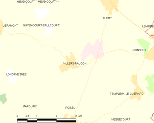
Villers-Faucon
- commune in Somme, France
- Country:
- Postal Code: 80112
- Coordinates: 49° 58' 36" N, 3° 5' 57" E
- GPS tracks (wikiloc): [Link]
- Area: 11.42 sq km
- Population: 633
- Web site: [Link]


Hesbécourt
- commune in Somme, France
- Country:
- Postal Code: 80240
- Coordinates: 49° 56' 39" N, 3° 7' 47" E
- GPS tracks (wikiloc): [Link]
- Area: 3.62 sq km
- Population: 55


Templeux-la-Fosse
- commune in Somme, France
- Country:
- Postal Code: 80240
- Coordinates: 49° 58' 3" N, 3° 1' 30" E
- GPS tracks (wikiloc): [Link]
- Area: 7.23 sq km
- Population: 142
- Web site: [Link]


Templeux-le-Guérard
- commune in Somme, France
- Country:
- Postal Code: 80240
- Coordinates: 49° 57' 47" N, 3° 8' 53" E
- GPS tracks (wikiloc): [Link]
- Area: 6.48 sq km
- Population: 176


Sorel
- commune in Somme, France
- Country:
- Postal Code: 80240
- Coordinates: 50° 1' 24" N, 3° 3' 0" E
- GPS tracks (wikiloc): [Link]
- AboveSeaLevel: 40 м m
- Area: 7.94 sq km
- Population: 164

Épehy
- commune in Somme, France
- Country:
- Postal Code: 80740
- Coordinates: 50° 0' 27" N, 3° 7' 43" E
- GPS tracks (wikiloc): [Link]
- Area: 17.33 sq km
- Population: 1206
- Web site: [Link]

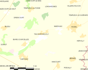
Tincourt-Boucly
- commune in Somme, France
- Country:
- Postal Code: 80240
- Coordinates: 49° 56' 22" N, 3° 2' 32" E
- GPS tracks (wikiloc): [Link]
- Area: 12.8 sq km
- Population: 364


Vraignes-en-Vermandois
- commune in Somme, France
- Country:
- Postal Code: 80240
- Coordinates: 49° 53' 14" N, 3° 3' 55" E
- GPS tracks (wikiloc): [Link]
- AboveSeaLevel: 93 м m
- Area: 4.22 sq km
- Population: 148