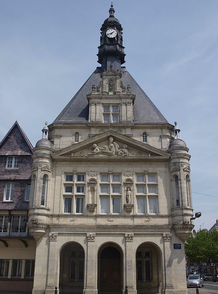
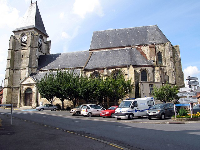
arrondissement of Péronne (arrondissement de Péronne)
- arrondissement of France
- Country:

- Capital: Péronne
- Coordinates: 49° 55' 0" N, 2° 50' 0" E


- GPS tracks (wikiloc): [Link]
- Area: 1200 sq km
- Population: 95032
- Wikipedia en: wiki(en)
- Wikipedia: wiki(fr)
- Wikidata storage: Wikidata: Q702153
- Freebase ID: [/m/0954t6]
- GeoNames ID: Alt: [2987927]
- INSEE arrondissement code: [804]
- GNS Unique Feature ID: -1457512
Includes regions:


canton of Ham
- canton of France
- Country:

- Capital: Ham
- Coordinates: 49° 44' 50" N, 3° 4' 25" E


- GPS tracks (wikiloc): [Link]
- Population: 29111


canton of Péronne
- canton of France
- Country:

- Capital: Péronne
- Coordinates: 49° 55' 59" N, 2° 56' 14" E


- GPS tracks (wikiloc): [Link]
- Population: 27839

canton of Bray-sur-Somme
- canton of France (until March 2015)
- Country:

- Capital: Bray-sur-Somme
- Coordinates: 49° 56' 28" N, 2° 43' 6" E


- GPS tracks (wikiloc): [Link]


canton of Albert
- canton of France
- Country:

- Capital: Albert
- Coordinates: 50° 0' 10" N, 2° 39' 10" E


- GPS tracks (wikiloc): [Link]
- Population: 28419


