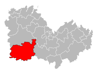
canton of Rostrenen (canton de Rostrenen)
- canton of France
- Country:

- Capital: Rostrenen
- Coordinates: 48° 14' 14" N, 3° 18' 56" E


- GPS tracks (wikiloc): [Link]
- Population: 20770
- Wikipedia en: wiki(en)
- Wikipedia: wiki(fr)
- Wikidata storage: Wikidata: Q1727010
- INSEE canton code: [2223]
Includes regions:

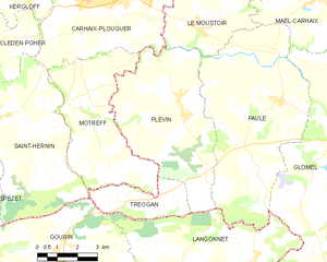
Plévin
- commune in Côtes-d'Armor, France
- Country:

- Postal Code: 22340
- Coordinates: 48° 13' 35" N, 3° 30' 19" E


- GPS tracks (wikiloc): [Link]
- Area: 27.36 sq km
- Population: 772

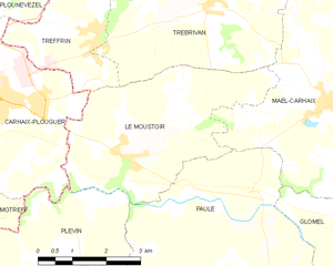
Le Moustoir
- commune in Côtes-d'Armor, France
- Country:

- Postal Code: 22340
- Coordinates: 48° 15' 56" N, 3° 30' 8" E


- GPS tracks (wikiloc): [Link]
- Area: 14.85 sq km
- Population: 674

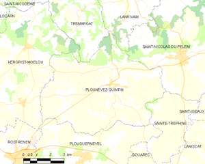
Plounévez-Quintin
- commune in Côtes-d'Armor, France
- Country:

- Postal Code: 22110
- Coordinates: 48° 17' 24" N, 3° 13' 54" E


- GPS tracks (wikiloc): [Link]
- Area: 42.89 sq km
- Population: 1103


Plouguernével
- commune in Côtes-d'Armor, France
- Country:

- Postal Code: 22110
- Coordinates: 48° 14' 25" N, 3° 15' 22" E


- GPS tracks (wikiloc): [Link]
- Area: 41.6 sq km
- Population: 1721


Paule
- commune in Côtes-d'Armor, France
- Country:

- Postal Code: 22340
- Coordinates: 48° 14' 10" N, 3° 26' 43" E


- GPS tracks (wikiloc): [Link]
- Area: 37.56 sq km
- Population: 726


Lescouët-Gouarec
- commune in Côtes-d'Armor, France
- Country:

- Postal Code: 22570
- Coordinates: 48° 9' 36" N, 3° 14' 41" E


- GPS tracks (wikiloc): [Link]
- Area: 18.73 sq km
- Population: 215


Saint-Igeaux
- commune in Côtes-d'Armor, France
- Country:

- Postal Code: 22570
- Coordinates: 48° 16' 19" N, 3° 6' 19" E


- GPS tracks (wikiloc): [Link]
- Area: 12.91 sq km
- Population: 138


Plélauff
- commune in Côtes-d'Armor, France
- Country:

- Postal Code: 22570
- Coordinates: 48° 12' 23" N, 3° 12' 35" E


- GPS tracks (wikiloc): [Link]
- Area: 25.51 sq km
- Population: 672


Rostrenen
- commune in Côtes-d'Armor, France
- Country:

- Postal Code: 22110
- Coordinates: 48° 14' 11" N, 3° 19' 1" E


- GPS tracks (wikiloc): [Link]
- Area: 32.17 sq km
- Population: 3101
- Web site: [Link]

Bon Repos sur Blavet
- commune in Côtes-d'Armor, France
- Country:

- Postal Code: 22570
- Coordinates: 48° 14' 32" N, 3° 7' 19" E


- GPS tracks (wikiloc): [Link]
- Area: 53.91 sq km
- Population: 1274

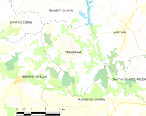
Trémargat
- commune in Côtes-d'Armor, France
- Country:

- Postal Code: 22110
- Coordinates: 48° 19' 56" N, 3° 16' 3" E


- GPS tracks (wikiloc): [Link]
- Area: 13.9 sq km
- Population: 192


Tréogan
- commune in Côtes-d'Armor, France
- Country:

- Postal Code: 22340
- Coordinates: 48° 11' 21" N, 3° 31' 12" E


- GPS tracks (wikiloc): [Link]
- Area: 7.1 sq km
- Population: 100

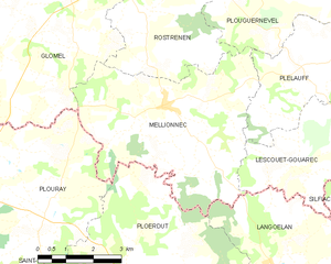
Mellionnec
- commune in Côtes-d'Armor, France
- Country:

- Postal Code: 22110
- Coordinates: 48° 10' 29" N, 3° 17' 47" E


- GPS tracks (wikiloc): [Link]
- Area: 24.22 sq km
- Population: 421


Maël-Carhaix
- commune in Côtes-d'Armor, France
- Country:

- Postal Code: 22340
- Coordinates: 48° 17' 0" N, 3° 25' 28" E


- GPS tracks (wikiloc): [Link]
- Area: 36.57 sq km
- Population: 1522
- Web site: [Link]
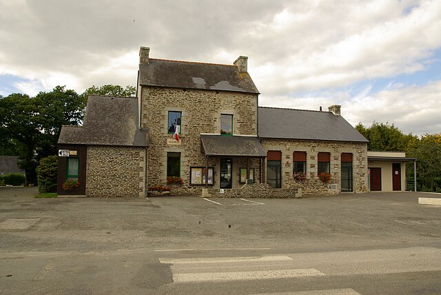

Treffrin
- commune in Côtes-d'Armor, France
- Country:

- Postal Code: 22340
- Coordinates: 48° 17' 56" N, 3° 31' 1" E


- GPS tracks (wikiloc): [Link]
- Area: 7.47 sq km
- Population: 571


Gouarec
- commune in Côtes-d'Armor, France
- Country:

- Postal Code: 22570
- Coordinates: 48° 13' 36" N, 3° 10' 51" E


- GPS tracks (wikiloc): [Link]
- Area: 6.41 sq km
- Population: 905


Glomel
- commune in Côtes-d'Armor, France
- Country:

- Postal Code: 22110
- Coordinates: 48° 13' 22" N, 3° 23' 47" E


- GPS tracks (wikiloc): [Link]
- AboveSeaLevel: 220.5 м m
- Area: 79.93 sq km
- Population: 1412
- Web site: [Link]


Kergrist-Moëlou
- commune in Côtes-d'Armor, France
- Country:

- Postal Code: 22110
- Coordinates: 48° 18' 34" N, 3° 19' 3" E


- GPS tracks (wikiloc): [Link]
- Area: 47.16 sq km
- Population: 648
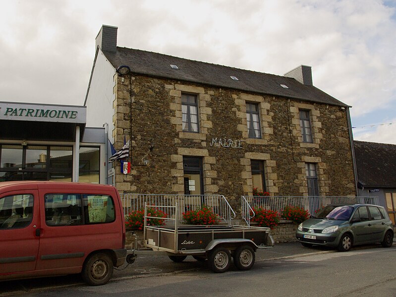

Locarn
- commune in Côtes-d'Armor, France
- Country:

- Postal Code: 22340
- Coordinates: 48° 19' 11" N, 3° 25' 20" E


- GPS tracks (wikiloc): [Link]
- Area: 32.36 sq km
- Population: 403

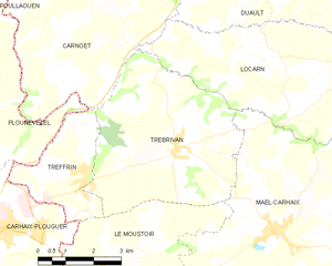
Trébrivan
- commune in Côtes-d'Armor, France
- Country:

- Postal Code: 22340
- Coordinates: 48° 18' 32" N, 3° 28' 31" E


- GPS tracks (wikiloc): [Link]
- Area: 22.96 sq km
- Population: 723
