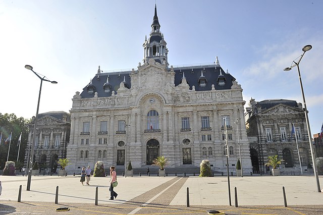
canton of Roubaix-2 (canton de Roubaix-2)
- canton of France
- Country:

- Capital: Roubaix
- Coordinates: 50° 40' 48" N, 3° 12' 0" E


- GPS tracks (wikiloc): [Link]
- Population: 73259
- Wikipedia en: wiki(en)
- Wikipedia: wiki(fr)
- Wikidata storage: Wikidata: Q19799889
Includes regions:


Wattrelos
- commune in Nord, France
- Country:

- Postal Code: 59150
- Coordinates: 50° 42' 4" N, 3° 12' 48" E


- GPS tracks (wikiloc): [Link]
- AboveSeaLevel: 29 м m
- Area: 13.44 sq km
- Population: 41264
- Web site: [Link]


Leers
- commune in Nord, France
- Country:

- Postal Code: 59115
- Coordinates: 50° 40' 54" N, 3° 14' 38" E


- GPS tracks (wikiloc): [Link]
- Area: 5.4 sq km
- Population: 9620
- Web site: [Link]


Roubaix
- commune in Nord, France
- Country:

- Postal Code: 59100
- Coordinates: 50° 41' 24" N, 3° 10' 54" E


- GPS tracks (wikiloc): [Link]
- AboveSeaLevel: 32 м m
- Area: 13.23 sq km
- Population: 96077
- Web site: [Link]
