Leers (Leers)

- commune in Nord, France
- Country:

- Postal Code: 59115
- Coordinates: 50° 40' 54" N, 3° 14' 38" E


- GPS tracks (wikiloc): [Link]
- Area: 5.4 sq km
- Population: 9620
- Web site: http://www.ville-leers.fr
- Wikipedia en: wiki(en)
- Wikipedia: wiki(fr)
- Wikidata storage: Wikidata: Q32870
- Wikipedia Commons Category: [Link]
- Freebase ID: [/m/03h2bmm]
- Freebase ID: [/m/03h2bmm]
- GeoNames ID: Alt: [3004314]
- GeoNames ID: Alt: [3004314]
- SIREN number: [215903394]
- SIREN number: [215903394]
- BnF ID: [15266913q]
- BnF ID: [15266913q]
- VIAF ID: Alt: [142000285]
- VIAF ID: Alt: [142000285]
- GND ID: Alt: [4365004-1]
- GND ID: Alt: [4365004-1]
- Library of Congress authority ID: Alt: [n88098016]
- Library of Congress authority ID: Alt: [n88098016]
- MusicBrainz area ID: [ba4da410-f057-49de-9768-f1119bd091b7]
- MusicBrainz area ID: [ba4da410-f057-49de-9768-f1119bd091b7]
- WOEID: [605070]
- WOEID: [605070]
- INSEE municipality code: 59339
- INSEE municipality code: 59339
Shares border with regions:
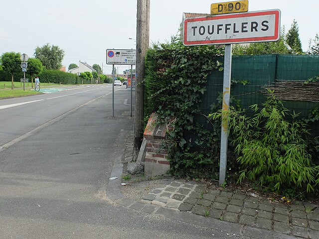

Toufflers
- commune in Nord, France
- Country:
- Postal Code: 59390
- Coordinates: 50° 39' 39" N, 3° 13' 47" E
- GPS tracks (wikiloc): [Link]
- Area: 2.39 sq km
- Population: 3902
- Web site: [Link]


Wattrelos
- commune in Nord, France
- Country:
- Postal Code: 59150
- Coordinates: 50° 42' 4" N, 3° 12' 48" E
- GPS tracks (wikiloc): [Link]
- AboveSeaLevel: 29 м m
- Area: 13.44 sq km
- Population: 41264
- Web site: [Link]


Lys-lez-Lannoy
- commune in Nord, France
- Country:
- Postal Code: 59390
- Coordinates: 50° 40' 17" N, 3° 12' 52" E
- GPS tracks (wikiloc): [Link]
- AboveSeaLevel: 33 м m
- Area: 3.26 sq km
- Population: 13596
- Web site: [Link]
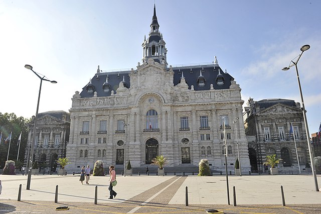

Roubaix
- commune in Nord, France
- Country:
- Postal Code: 59100
- Coordinates: 50° 41' 24" N, 3° 10' 54" E
- GPS tracks (wikiloc): [Link]
- AboveSeaLevel: 32 м m
- Area: 13.23 sq km
- Population: 96077
- Web site: [Link]