canton of Ryes (canton de Ryes)
- canton of France (until March 2015)
- Country:

- Capital: Ryes
- Coordinates: 49° 18' 54" N, 0° 36' 11" E


- GPS tracks (wikiloc): [Link]
- Area: 127.8 sq km
- Wikipedia en: wiki(en)
- Wikipedia: wiki(fr)
- Wikidata storage: Wikidata: Q1363730
- Freebase ID: [/m/07lh4w]
- Library of Congress authority ID: Alt: [n00001160]
- INSEE canton code: [1428]
Includes regions:


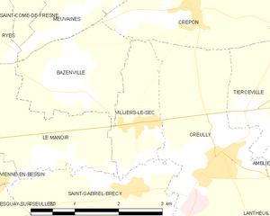
Villiers-le-Sec
- former commune in Calvados, France
- Country:

- Postal Code: 14480
- Coordinates: 49° 17' 28" N, 0° 33' 55" E


- GPS tracks (wikiloc): [Link]
- Area: 2.71 sq km
- Population: 304


Vaux-sur-Aure
- commune in Calvados, France
- Country:

- Postal Code: 14400
- Coordinates: 49° 18' 9" N, 0° 42' 8" E


- GPS tracks (wikiloc): [Link]
- Area: 7.6 sq km
- Population: 348


Sainte-Croix-sur-Mer
- commune in Calvados, France
- Country:

- Postal Code: 14480
- Coordinates: 49° 18' 49" N, 0° 30' 36" E


- GPS tracks (wikiloc): [Link]
- Area: 2.08 sq km
- Population: 251


Tierceville
- former commune in Calvados, France
- Country:

- Postal Code: 14480
- Coordinates: 49° 17' 35" N, 0° 31' 53" E


- GPS tracks (wikiloc): [Link]
- Area: 2.62 sq km
- Population: 165


Vienne-en-Bessin
- commune in Calvados, France
- Country:

- Postal Code: 14400
- Coordinates: 49° 16' 45" N, 0° 36' 36" E


- GPS tracks (wikiloc): [Link]
- Area: 4.1 sq km
- Population: 296


Ver-sur-Mer
- commune in Calvados, France
- Country:

- Postal Code: 14114
- Coordinates: 49° 19' 52" N, 0° 31' 46" E


- GPS tracks (wikiloc): [Link]
- Area: 9.01 sq km
- Population: 1588


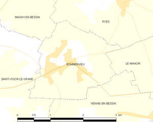
Sommervieu
- commune in Calvados, France
- Country:

- Postal Code: 14400
- Coordinates: 49° 17' 36" N, 0° 38' 51" E


- GPS tracks (wikiloc): [Link]
- Area: 4.3 sq km
- Population: 1016
- Web site: [Link]


Tracy-sur-Mer
- commune in Calvados, France
- Country:

- Postal Code: 14117
- Coordinates: 49° 20' 0" N, 0° 38' 13" E


- GPS tracks (wikiloc): [Link]
- Area: 3.72 sq km
- Population: 345