Villiers-le-Sec (Villiers-le-Sec)

- former commune in Calvados, France
- Country:

- Postal Code: 14480
- Coordinates: 49° 17' 28" N, 0° 33' 55" E


- GPS tracks (wikiloc): [Link]
- Area: 2.71 sq km
- Population: 304
- Wikipedia en: wiki(en)
- Wikipedia: wiki(fr)
- Wikidata storage: Wikidata: Q217060
- Wikipedia Commons Category: [Link]
- Freebase ID: [/m/042962]
- GeoNames ID: Alt: [6427564]
- BnF ID: [15248164g]
- INSEE municipality code: 14757
Shares border with regions:
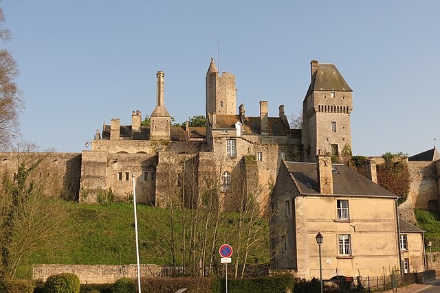

Creully
- former commune in Calvados, France
- Country:
- Postal Code: 14480
- Coordinates: 49° 17' 2" N, 0° 32' 26" E
- GPS tracks (wikiloc): [Link]
- Area: 8.56 sq km
- Population: 1693
- Web site: [Link]


Crépon
- commune in Calvados, France
- Country:
- Postal Code: 14480
- Coordinates: 49° 18' 58" N, 0° 33' 2" E
- GPS tracks (wikiloc): [Link]
- Area: 5.42 sq km
- Population: 218

Bazenville
- commune in Calvados, France
- Country:
- Postal Code: 14480
- Coordinates: 49° 18' 11" N, 0° 35' 10" E
- GPS tracks (wikiloc): [Link]
- Area: 4.07 sq km
- Population: 140


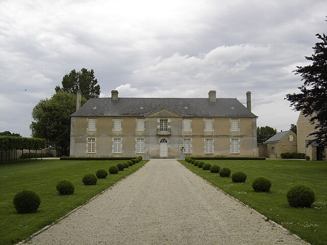
Saint-Gabriel-Brécy
- former commune in Calvados, France
- Country:
- Postal Code: 14480
- Coordinates: 49° 16' 40" N, 0° 33' 55" E
- GPS tracks (wikiloc): [Link]
- AboveSeaLevel: 50 м m
- Area: 7.44 sq km
- Population: 371


Le Manoir
- commune in Calvados, France
- Country:
- Postal Code: 14400
- Coordinates: 49° 17' 2" N, 0° 35' 40" E
- GPS tracks (wikiloc): [Link]
- Area: 5.88 sq km
- Population: 210