canton of Saillagouse (canton de Saillagouse)
- canton of France
- Country:

- Capital: Saillagouse
- Coordinates: 42° 27' 0" N, 2° 2' 0" E


- GPS tracks (wikiloc): [Link]
- Wikipedia en: wiki(en)
- Wikipedia: wiki(fr)
- Wikidata storage: Wikidata: Q1727049
- Wikipedia Commons Category: [Link]
Includes regions:


Dorres
- commune in Pyrénées-Orientales, France
- Country:
- Postal Code: 66760
- Coordinates: 42° 29' 5" N, 1° 56' 20" E
- GPS tracks (wikiloc): [Link]
- Area: 24.77 sq km
- Population: 164
- Web site: [Link]

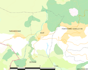
Égat
- commune in Pyrénées-Orientales, France
- Country:
- Postal Code: 66120
- Coordinates: 42° 30' 1" N, 2° 0' 58" E
- GPS tracks (wikiloc): [Link]
- Area: 4.47 sq km
- Population: 446


Err
- commune in Pyrénées-Orientales, France
- Country:
- Postal Code: 66800
- Coordinates: 42° 26' 24" N, 2° 2' 0" E
- GPS tracks (wikiloc): [Link]
- AboveSeaLevel: 1335 м m
- Area: 25.92 sq km
- Population: 656


Estavar
- commune in Pyrénées-Orientales, France
- Country:
- Postal Code: 66800
- Coordinates: 42° 28' 14" N, 1° 59' 50" E
- GPS tracks (wikiloc): [Link]
- Area: 9.24 sq km
- Population: 457


Enveitg
- commune in Pyrénées-Orientales, France
- Country:
- Postal Code: 66760
- Coordinates: 42° 27' 36" N, 1° 54' 53" E
- GPS tracks (wikiloc): [Link]
- Area: 30.52 sq km
- Population: 661