canton of Saint-Thégonnec (canton de Saint-Thégonnec)
- canton of France
- Country:

- Capital: Saint-Thégonnec
- Coordinates: 48° 29' 3" N, 3° 53' 34" E


- GPS tracks (wikiloc): [Link]
- Wikipedia en: wiki(en)
- Wikipedia: wiki(fr)
- Wikidata storage: Wikidata: Q1727363
- Freebase ID: [/m/0gfjl2x]
- INSEE canton code: [2940]
Includes regions:


Loc-Eguiner-Saint-Thégonnec
- former commune in Finistère, France
- Country:
- Postal Code: 29410
- Coordinates: 48° 27' 46" N, 3° 58' 11" E
- GPS tracks (wikiloc): [Link]
- Area: 8.02 sq km
- Population: 318


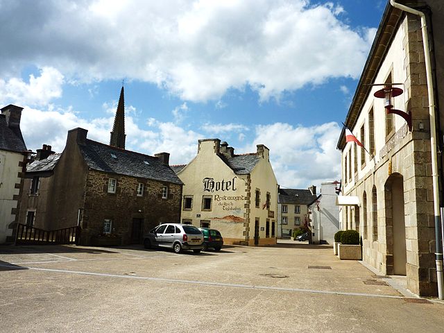
Saint-Thégonnec
- former commune in Finistère, France
- Country:
- Postal Code: 29410
- Coordinates: 48° 31' 0" N, 3° 57' 0" E
- GPS tracks (wikiloc): [Link]
- Area: 41.76 sq km
- Population: 2698
- Web site: [Link]


Le Cloître-Saint-Thégonnec
- commune in Finistère, France
- Country:
- Postal Code: 29410
- Coordinates: 48° 28' 48" N, 3° 47' 41" E
- GPS tracks (wikiloc): [Link]
- Area: 28.48 sq km
- Population: 663


Pleyber-Christ
- commune in Finistère, France
- Country:
- Postal Code: 29410
- Coordinates: 48° 30' 0" N, 3° 52' 0" E
- GPS tracks (wikiloc): [Link]
- Area: 45.47 sq km
- Population: 3076
- Web site: [Link]

Plounéour-Ménez
- commune in Finistère, France
- Country:
- Postal Code: 29410
- Coordinates: 48° 26' 21" N, 3° 53' 28" E
- GPS tracks (wikiloc): [Link]
- Area: 51.74 sq km
- Population: 1251