canton of Sarlat-la-Canéda (canton de Sarlat-la-Canéda)

- canton of France
- Country:

- Capital: Sarlat-la-Canéda
- Coordinates: 44° 53' 0" N, 1° 13' 0" E


- GPS tracks (wikiloc): [Link]
- Population: 16226
- Wikipedia en: wiki(en)
- Wikipedia: wiki(fr)
- Wikidata storage: Wikidata: Q1727428
- INSEE canton code: [2418]
Includes regions:


Tamniès
- commune in Dordogne, France
- Country:
- Postal Code: 24620
- Coordinates: 44° 57' 57" N, 1° 8' 58" E
- GPS tracks (wikiloc): [Link]
- Area: 19.09 sq km
- Population: 382
- Web site: [Link]
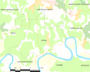
Vitrac
- commune in Dordogne, France
- Country:
- Postal Code: 24200
- Coordinates: 44° 49' 50" N, 1° 13' 37" E
- GPS tracks (wikiloc): [Link]
- Area: 14.38 sq km
- Population: 807


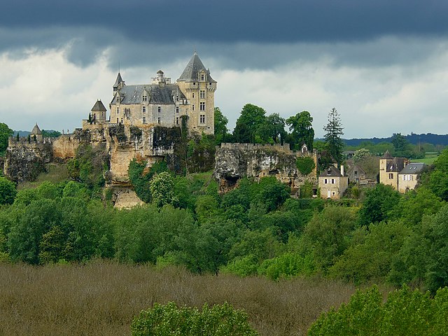
Vézac
- commune in Dordogne, France
- Country:
- Postal Code: 24220
- Coordinates: 44° 50' 4" N, 1° 9' 53" E
- GPS tracks (wikiloc): [Link]
- Area: 12.97 sq km
- Population: 613