arrondissement of Sarlat-la-Canéda (arrondissement de Sarlat-la-Canéda)

- arrondissement of France
- Country:

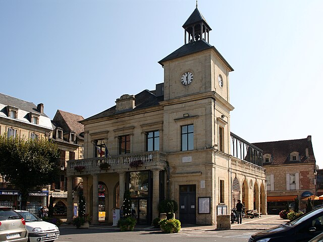
- Capital: Sarlat-la-Canéda
- Coordinates: 44° 55' 0" N, 1° 5' 0" E


- GPS tracks (wikiloc): [Link]
- Area: 1921 sq km
- Population: 82219
- Wikipedia en: wiki(en)
- Wikipedia: wiki(fr)
- Wikidata storage: Wikidata: Q702471
- Freebase ID: [/m/095g6j]
- GeoNames ID: Alt: [2976008]
- INSEE arrondissement code: [244]
Includes regions:

canton of Villefranche-du-Périgord
- canton of France (until March 2015)
- Country:
- Capital: Villefranche-du-Périgord
- Coordinates: 44° 39' 37" N, 1° 4' 24" E
- GPS tracks (wikiloc): [Link]


canton of Saint-Cyprien
- canton of France
- Country:
- Capital: Saint-Cyprien
- Coordinates: 44° 52' 0" N, 1° 3' 0" E
- GPS tracks (wikiloc): [Link]


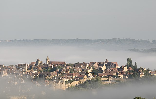
canton of Sarlat-la-Canéda
- canton of France
- Country:
- Capital: Sarlat-la-Canéda
- Coordinates: 44° 53' 0" N, 1° 13' 0" E
- GPS tracks (wikiloc): [Link]
- Population: 16226


canton of Terrasson-Lavilledieu
- canton of France
- Country:
- Capital: Terrasson-Lavilledieu
- Coordinates: 45° 7' 36" N, 1° 16' 33" E
- GPS tracks (wikiloc): [Link]
- Population: 19711

canton of Salignac-Eyvigues
- canton of France (until March 2015)
- Country:
- Capital: Salignac-Eyvigues
- Coordinates: 44° 59' 49" N, 1° 19' 50" E
- GPS tracks (wikiloc): [Link]