Casanova Lonati (Casanova Lonati)
.svg)
- Italian comune
 Hiking in Casanova Lonati
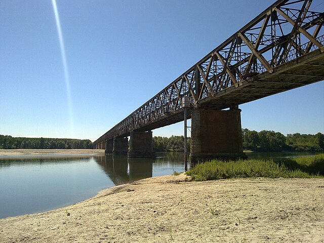
Casanova Lonati is a great destination for hiking enthusiasts, located in the region of Lombardy, Italy. Nestled in a scenic area, it offers a variety of trails that cater to different skill levels, making it a fantastic spot for both beginners and experienced hikers.
Key Features of Hiking in Casanova Lonati:
-
Scenic Trails: The area boasts picturesque landscapes, including rolling hills, lush forests, and stunning views of the surrounding valleys. The trails often meander by streams and provide opportunities for wildlife observation.
-
Trail Difficulty: You can find a range of trails from easy paths suitable for families or casual walkers to more challenging routes that involve some elevation gain and rugged terrain.
-
Cultural Sites: Alongside the natural beauty, hikers can also explore historical and cultural landmarks, including old churches and farmhouses that reflect the local heritage.
-
Seasonal Beauty: Each season offers a different experience. In spring, you can see wildflowers bloom; summer provides a lush green landscape; autumn showcases vibrant foliage, and winter may bring snow-covered trails.
-
Local Recommendations: It’s always a good idea to check with local guides or visitor centers for up-to-date information on trail conditions, recommended routes, and safety precautions.
-
Amenities: Before heading out, ensure you have adequate supplies, as some trails may be remote with limited access to services. Look for nearby towns where you can find food, water, and restroom facilities.
Tips for Hiking in Casanova Lonati:
- Preparation: Make sure to wear proper hiking shoes and dress in layers. Weather conditions can change rapidly in the region.
- Safety: Bring a map or download a hiking app on your phone for navigation. Inform someone of your hiking plans in case of emergencies.
- Respect Nature: Follow Leave No Trace principles to minimize your environmental impact while enjoying the beauty of the region.
Hiking in Casanova Lonati can be a fulfilling experience, blending physical activity with the appreciation of nature and culture. Enjoy your adventure!
- Country:

- Postal Code: 27041
- Local Dialing Code: 0385
- Licence Plate Code: PV
- Coordinates: 45° 6' 0" N, 9° 13' 0" E


- GPS tracks (wikiloc): [Link]
- AboveSeaLevel: 63 м m
- Area: 4.63 sq km
- Population: 455
- Web site: http://www.comune.casanovalonati.pv.it/
- Wikipedia en: wiki(en)
- Wikipedia: wiki(it)
- Wikidata storage: Wikidata: Q39179
- Wikipedia Commons Category: [Link]
- Freebase ID: [/m/0gjh9m]
- GeoNames ID: Alt: [6543195]
- OSM relation ID: [44214]
- ISTAT ID: 018031
- Italian cadastre code: B929
Shares border with regions:
Albaredo Arnaboldi
- Italian comune
Hiking in Albaredo Arnaboldi
Albaredo Arnaboldi, located in the province of Pavia in Lombardy, Italy, is a picturesque area perfect for hiking enthusiasts. The region is characterized by its beautiful landscapes, rolling hills, and diverse flora and fauna, making it an ideal destination for both casual walkers and more experienced hikers....
- Country:
- Postal Code: 27040
- Local Dialing Code: 0385
- Licence Plate Code: PV
- Coordinates: 45° 6' 0" N, 9° 15' 0" E
- GPS tracks (wikiloc): [Link]
- AboveSeaLevel: 77 м m
- Area: 8.76 sq km
- Population: 254
- Web site: [Link]


Pinarolo Po
- Italian comune
Hiking in Pinarolo Po
Pinarolo Po is a charming area located in the northern part of Italy, specifically in the Piedmont region. This region offers a variety of hiking opportunities that are suitable for outdoor enthusiasts of all levels....
- Country:
- Postal Code: 27040
- Local Dialing Code: 0383
- Licence Plate Code: PV
- Coordinates: 45° 4' 0" N, 9° 12' 0" E
- GPS tracks (wikiloc): [Link]
- AboveSeaLevel: 67 м m
- Area: 11.31 sq km
- Population: 1675
- Web site: [Link]


Barbianello
- Italian comune
Hiking in Barbianello
Barbianello is a small municipality located in the Lombardy region of Italy, nestled in the picturesque landscape of the Oltrepò Pavese area. This region, known for its rolling hills, vineyards, and scenic views, offers a variety of hiking opportunities that cater to different skill levels....
- Country:
- Postal Code: 27041
- Local Dialing Code: 0385
- Licence Plate Code: PV
- Coordinates: 45° 4' 0" N, 9° 12' 0" E
- GPS tracks (wikiloc): [Link]
- AboveSeaLevel: 63 м m
- Area: 11.71 sq km
- Population: 851
- Web site: [Link]

Mezzanino
- Italian comune
Hiking in Mezzanino
Mezzanino is a charming town located in the Lombardy region of Italy, which offers a unique blend of natural beauty and cultural heritage. While it may not be as famous for hiking as some of the larger national parks and reserves in Italy, the surrounding areas can provide some delightful hiking opportunities for those looking to explore the region....
- Country:
- Postal Code: 27040
- Local Dialing Code: 0385
- Licence Plate Code: PV
- Coordinates: 45° 7' 30" N, 9° 12' 18" E
- GPS tracks (wikiloc): [Link]
- AboveSeaLevel: 62 м m
- Area: 12.51 sq km
- Population: 1369
- Web site: [Link]


Verrua Po
- Italian comune
Hiking in Verrua Po
Verrua Po, a small town in the Piedmont region of northern Italy, offers a unique combination of scenic beauty and rich history, making it an appealing destination for hiking enthusiasts. Nestled along the Po River, the area features picturesque landscapes, rolling hills, and diverse flora and fauna....
- Country:
- Postal Code: 27040
- Local Dialing Code: 0385
- Licence Plate Code: PV
- Coordinates: 45° 5' 0" N, 9° 8' 0" E
- GPS tracks (wikiloc): [Link]
- AboveSeaLevel: 64 м m
- Area: 11.44 sq km
- Population: 1273
- Web site: [Link]