Castelnau-d'Estrétefonds (Castelnau-d'Estrétefonds)
- commune in Haute-Garonne, France
- Country:

- Postal Code: 31620
- Coordinates: 43° 46' 56" N, 1° 21' 30" E


- GPS tracks (wikiloc): [Link]
- Area: 28.32 sq km
- Population: 6145
- Web site: http://www.mairiecastelnau.fr
- Wikipedia en: wiki(en)
- Wikipedia: wiki(fr)
- Wikidata storage: Wikidata: Q1345742
- Wikipedia Commons Category: [Link]
- Freebase ID: [/m/03nq36j]
- Freebase ID: [/m/03nq36j]
- GeoNames ID: Alt: [6431504]
- GeoNames ID: Alt: [6431504]
- SIREN number: [213101181]
- SIREN number: [213101181]
- BnF ID: [15255114d]
- BnF ID: [15255114d]
- VIAF ID: Alt: [143270410]
- VIAF ID: Alt: [143270410]
- Library of Congress authority ID: Alt: [n2004019804]
- Library of Congress authority ID: Alt: [n2004019804]
- PACTOLS thesaurus ID: [pcrttwpWvL87L0]
- PACTOLS thesaurus ID: [pcrttwpWvL87L0]
- INSEE municipality code: 31118
- INSEE municipality code: 31118
Shares border with regions:


Saint-Rustice
- commune in Haute-Garonne, France
- Country:

- Postal Code: 31620
- Coordinates: 43° 48' 20" N, 1° 19' 41" E


- GPS tracks (wikiloc): [Link]
- Area: 2.36 sq km
- Population: 472
- Web site: [Link]
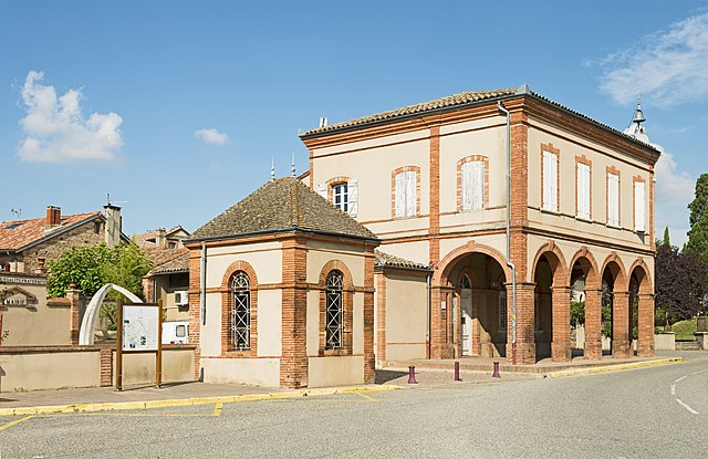

Ondes
- commune in Haute-Garonne, France
- Country:

- Postal Code: 31330
- Coordinates: 43° 46' 51" N, 1° 18' 34" E


- GPS tracks (wikiloc): [Link]
- Area: 6.57 sq km
- Population: 712
- Web site: [Link]


Saint-Jory
- commune in Haute-Garonne, France
- Country:

- Postal Code: 31790
- Coordinates: 43° 44' 32" N, 1° 22' 11" E


- GPS tracks (wikiloc): [Link]
- Area: 19.1 sq km
- Population: 5742
- Web site: [Link]
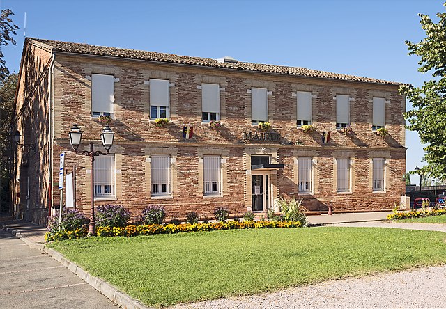

Bouloc
- commune in Haute-Garonne, France
- Country:

- Postal Code: 31620
- Coordinates: 43° 46' 49" N, 1° 24' 18" E


- GPS tracks (wikiloc): [Link]
- Area: 18.55 sq km
- Population: 4496
- Web site: [Link]


Saint-Sauveur
- commune in Haute-Garonne, France
- Country:

- Postal Code: 31790
- Coordinates: 43° 44' 55" N, 1° 24' 2" E


- GPS tracks (wikiloc): [Link]
- AboveSeaLevel: 130 м m
- Area: 7.04 sq km
- Population: 1772
- Web site: [Link]
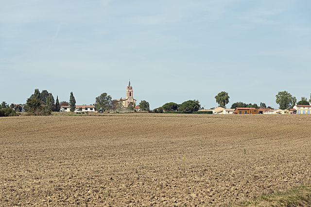

Villeneuve-lès-Bouloc
- commune in Haute-Garonne, France
- Country:

- Postal Code: 31620
- Coordinates: 43° 46' 9" N, 1° 25' 36" E


- GPS tracks (wikiloc): [Link]
- Area: 12.66 sq km
- Population: 1520
- Web site: [Link]


Grisolles
- commune in Tarn-et-Garonne, France
- Country:

- Postal Code: 82170
- Coordinates: 43° 49' 41" N, 1° 17' 45" E


- GPS tracks (wikiloc): [Link]
- Area: 17.6 sq km
- Population: 3991
- Web site: [Link]

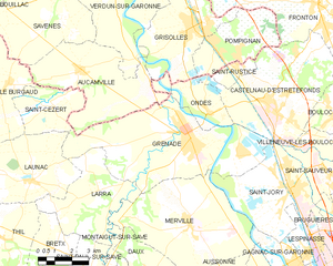
Grenade
- commune in Haute-Garonne, France
- Country:

- Postal Code: 31330
- Coordinates: 43° 46' 17" N, 1° 17' 35" E


- GPS tracks (wikiloc): [Link]
- Area: 37.01 sq km
- Population: 8685
- Web site: [Link]

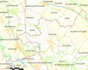
Fronton
- commune in Haute-Garonne, France
- Country:

- Postal Code: 31620
- Coordinates: 43° 50' 25" N, 1° 23' 22" E


- GPS tracks (wikiloc): [Link]
- Area: 45.79 sq km
- Population: 5917
- Web site: [Link]


Pompignan
- commune in Tarn-et-Garonne, France
- Country:

- Postal Code: 82170
- Coordinates: 43° 49' 1" N, 1° 18' 45" E


- GPS tracks (wikiloc): [Link]
- Area: 12.17 sq km
- Population: 1444
- Web site: [Link]
