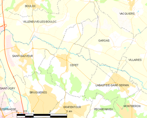
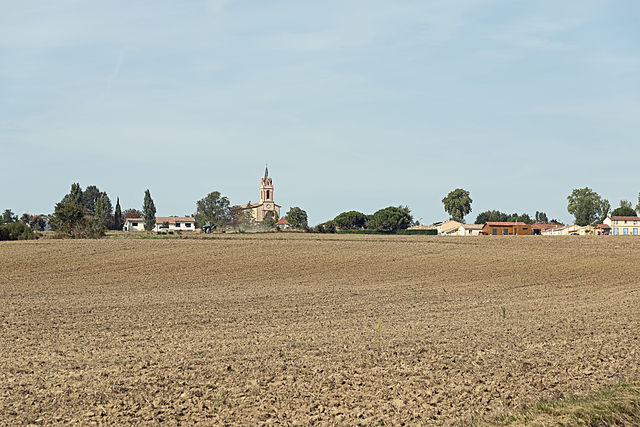
Saint-Sauveur (Saint-Sauveur)

- commune in Haute-Garonne, France
- Country:

- Postal Code: 31790
- Coordinates: 43° 44' 55" N, 1° 24' 2" E


- GPS tracks (wikiloc): [Link]
- AboveSeaLevel: 130 м m
- Area: 7.04 sq km
- Population: 1772
- Web site: http://www.ville-saint-sauveur.fr
- Wikipedia en: wiki(en)
- Wikipedia: wiki(fr)
- Wikidata storage: Wikidata: Q1467509
- Wikipedia Commons Category: [Link]
- Freebase ID: [/m/03nt8wg]
- Freebase ID: [/m/03nt8wg]
- GeoNames ID: Alt: [6616488]
- GeoNames ID: Alt: [6616488]
- SIREN number: [213105166]
- SIREN number: [213105166]
- BnF ID: [15255511g]
- BnF ID: [15255511g]
- INSEE municipality code: 31516
- INSEE municipality code: 31516
Shares border with regions:


Bruguières
- commune in Haute-Garonne, France
- Country:
- Postal Code: 31150
- Coordinates: 43° 43' 27" N, 1° 24' 41" E
- GPS tracks (wikiloc): [Link]
- Area: 9.03 sq km
- Population: 5526
- Web site: [Link]


Castelnau-d'Estrétefonds
- commune in Haute-Garonne, France
- Country:
- Postal Code: 31620
- Coordinates: 43° 46' 56" N, 1° 21' 30" E
- GPS tracks (wikiloc): [Link]
- Area: 28.32 sq km
- Population: 6145
- Web site: [Link]


Saint-Jory
- commune in Haute-Garonne, France
- Country:
- Postal Code: 31790
- Coordinates: 43° 44' 32" N, 1° 22' 11" E
- GPS tracks (wikiloc): [Link]
- Area: 19.1 sq km
- Population: 5742
- Web site: [Link]

Cépet
- commune in Haute-Garonne, France
- Country:
- Postal Code: 31620
- Coordinates: 43° 44' 59" N, 1° 25' 52" E
- GPS tracks (wikiloc): [Link]
- Area: 7.11 sq km
- Population: 1629
- Web site: [Link]

Villeneuve-lès-Bouloc
- commune in Haute-Garonne, France
- Country:
- Postal Code: 31620
- Coordinates: 43° 46' 9" N, 1° 25' 36" E
- GPS tracks (wikiloc): [Link]
- Area: 12.66 sq km
- Population: 1520
- Web site: [Link]