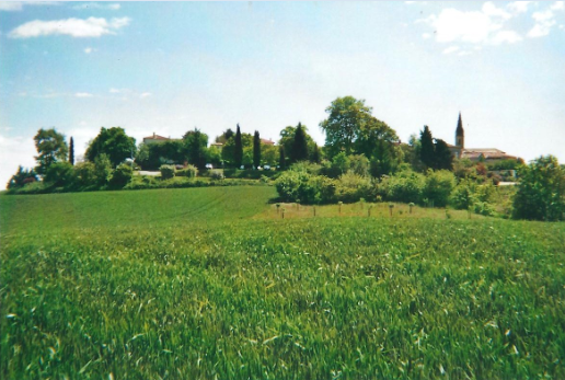
Castelnau-sur-l'Auvignon (Castelnau-sur-l'Auvignon)

- commune in Gers, France
- Country:

- Postal Code: 32100
- Coordinates: 43° 58' 18" N, 0° 27' 26" E


- GPS tracks (wikiloc): [Link]
- AboveSeaLevel: 166 м m
- Area: 10.22 sq km
- Population: 159
- Wikipedia en: wiki(en)
- Wikipedia: wiki(fr)
- Wikidata storage: Wikidata: Q859493
- Wikipedia Commons Category: [Link]
- Freebase ID: [/m/03nrp6k]
- GeoNames ID: Alt: [6448365]
- SIREN number: [213200801]
- BnF ID: [15255667c]
- INSEE municipality code: 32080
Shares border with regions:


Gazaupouy
- commune in Gers, France
- Country:
- Postal Code: 32480
- Coordinates: 44° 0' 27" N, 0° 27' 2" E
- GPS tracks (wikiloc): [Link]
- Area: 20.94 sq km
- Population: 302


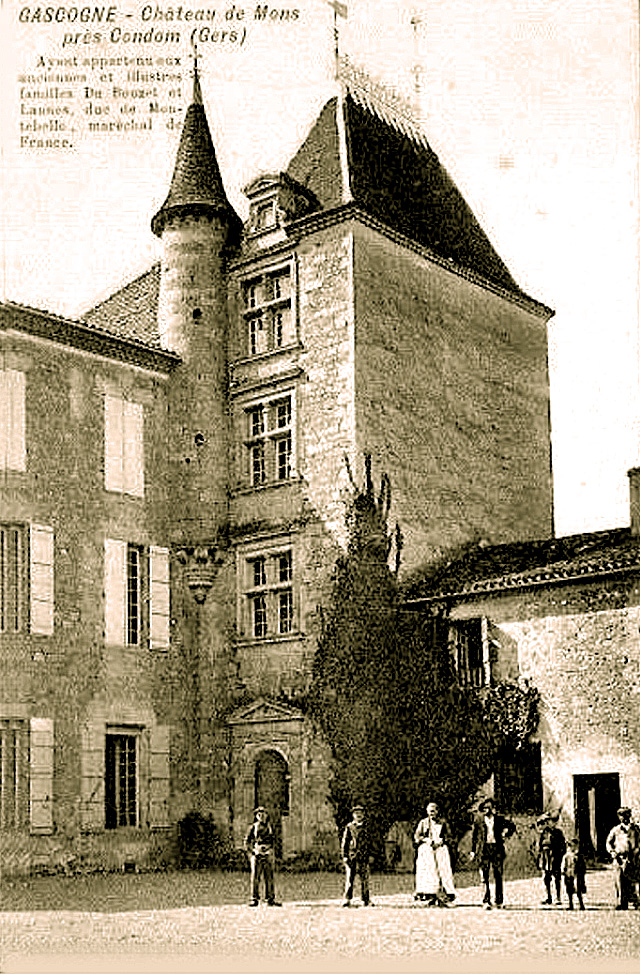
Condom
- commune in Gers, France
- Country:
- Postal Code: 32100
- Coordinates: 43° 57' 27" N, 0° 22' 21" E
- GPS tracks (wikiloc): [Link]
- Area: 97.37 sq km
- Population: 6695
- Web site: [Link]

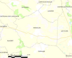
Marsolan
- commune in Gers, France
- Country:
- Postal Code: 32700
- Coordinates: 43° 56' 35" N, 0° 32' 22" E
- GPS tracks (wikiloc): [Link]
- Area: 26.14 sq km
- Population: 471

Caussens
- commune in Gers, France
- Country:
- Postal Code: 32100
- Coordinates: 43° 56' 34" N, 0° 25' 29" E
- GPS tracks (wikiloc): [Link]
- Area: 13.27 sq km
- Population: 601


La Romieu
- commune in Gers, France
- Country:
- Postal Code: 32480
- Coordinates: 43° 58' 55" N, 0° 29' 52" E
- GPS tracks (wikiloc): [Link]
- Area: 27.48 sq km
- Population: 571
- Web site: [Link]

Blaziert
- commune in Gers, France
- Country:
- Postal Code: 32100
- Coordinates: 43° 56' 3" N, 0° 28' 37" E
- GPS tracks (wikiloc): [Link]
- Area: 10.97 sq km
- Population: 137