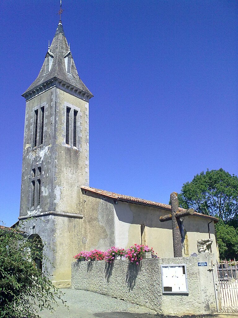
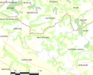
Castelner (Castelner)

- commune in Landes, France
- Country:

- Postal Code: 40700
- Coordinates: 43° 33' 9" N, 0° 34' 58" E


- GPS tracks (wikiloc): [Link]
- Area: 5.73 sq km
- Population: 112
- Wikipedia en: wiki(en)
- Wikipedia: wiki(fr)
- Wikidata storage: Wikidata: Q35009
- Wikipedia Commons Category: [Link]
- Freebase ID: [/m/03nvwky]
- GeoNames ID: Alt: [6448874]
- SIREN number: [214000739]
- BnF ID: [15259015f]
- INSEE municipality code: 40073
Shares border with regions:

Bassercles
- commune in Landes, France
- Country:
- Postal Code: 40700
- Coordinates: 43° 33' 38" N, 0° 36' 48" E
- GPS tracks (wikiloc): [Link]
- Area: 6.59 sq km
- Population: 151


Peyre
- commune in Landes, France
- Country:
- Postal Code: 40700
- Coordinates: 43° 34' 1" N, 0° 32' 49" E
- GPS tracks (wikiloc): [Link]
- Area: 10.25 sq km
- Population: 254

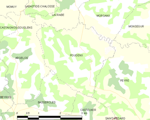
Poudenx
- commune in Landes, France
- Country:
- Postal Code: 40700
- Coordinates: 43° 34' 38" N, 0° 34' 58" E
- GPS tracks (wikiloc): [Link]
- Area: 7.46 sq km
- Population: 228

Saint-Médard
- commune in Pyrénées-Atlantiques, France
- Country:
- Postal Code: 64370
- Coordinates: 43° 31' 48" N, 0° 35' 26" E
- GPS tracks (wikiloc): [Link]
- Area: 11.23 sq km
- Population: 215


Labeyrie
- commune in Pyrénées-Atlantiques, France
- Country:
- Postal Code: 64300
- Coordinates: 43° 32' 30" N, 0° 37' 16" E
- GPS tracks (wikiloc): [Link]
- Area: 3.69 sq km
- Population: 121