Cavaillon (Cavaillon)
- commune in Vaucluse, France
- Country:

- Postal Code: 84300
- Coordinates: 43° 50' 12" N, 5° 2' 14" E


- GPS tracks (wikiloc): [Link]
- Area: 45.96 sq km
- Population: 26707
- Web site: http://www.cavaillon.com
- Wikipedia en: wiki(en)
- Wikipedia: wiki(fr)
- Wikidata storage: Wikidata: Q208798
- Wikipedia Commons Category: [Link]
- Freebase ID: [/m/07q3j6]
- GeoNames ID: Alt: [3028134]
- SIREN number: [218400356]
- BnF ID: [15278015m]
- VIAF ID: Alt: [158291575]
- archINFORM location ID: [8866]
- Library of Congress authority ID: Alt: [n81149969]
- MusicBrainz area ID: [a6225158-37c8-448e-a436-76a0ddc068a4]
- Quora topic ID: [Cavaillon]
- Gran Enciclopèdia Catalana ID: [0016634]
- Pleiades ID: [148027]
- FAST ID: [1313397]
- INSEE municipality code: 84035
Shares border with regions:


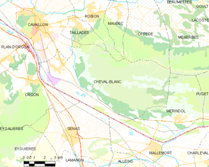
Taillades
- commune in Vaucluse, France
Hiking in Taillades, a region located in the Vaucluse department of Provence in southeastern France, presents an excellent opportunity to experience beautiful natural landscapes, charming villages, and rich history. Here are some highlights and tips for hiking in the Taillades area:...
- Country:

- Postal Code: 84300
- Coordinates: 43° 50' 10" N, 5° 5' 26" E


- GPS tracks (wikiloc): [Link]
- Area: 6.86 sq km
- Population: 1944


Orgon
- commune in Bouches-du-Rhône, France
- Country:

- Postal Code: 13660
- Coordinates: 43° 47' 29" N, 5° 2' 20" E


- GPS tracks (wikiloc): [Link]
- Area: 34.78 sq km
- Population: 3104
- Web site: [Link]


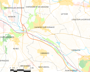
Cabannes
- commune in Bouches-du-Rhône, France
- Country:

- Postal Code: 13440
- Coordinates: 43° 51' 38" N, 4° 57' 4" E


- GPS tracks (wikiloc): [Link]
- Area: 20.91 sq km
- Population: 4414
- Web site: [Link]


Caumont-sur-Durance
- commune in Vaucluse, France
- Country:

- Postal Code: 84510
- Coordinates: 43° 53' 41" N, 4° 56' 47" E


- GPS tracks (wikiloc): [Link]
- AboveSeaLevel: 134 м m
- Area: 18.23 sq km
- Population: 4772
- Web site: [Link]


Cheval-Blanc
- commune in Vaucluse, France
- Country:

- Postal Code: 84460
- Coordinates: 43° 48' 3" N, 5° 3' 47" E


- GPS tracks (wikiloc): [Link]
- Area: 58.56 sq km
- Population: 4154
- Web site: [Link]


Robion
- commune in Vaucluse, France
Robion, located in the Vaucluse department in southeastern France, is surrounded by the scenic landscapes of the Luberon Regional Natural Park, making it an excellent starting point for hiking enthusiasts. Here are a few key points about hiking in and around Robion:...
- Country:

- Postal Code: 84440
- Coordinates: 43° 50' 42" N, 5° 6' 46" E


- GPS tracks (wikiloc): [Link]
- Area: 17.7 sq km
- Population: 4393
- Web site: [Link]


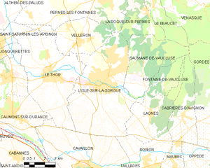
L'Isle-sur-la-Sorgue
- commune in Vaucluse, France
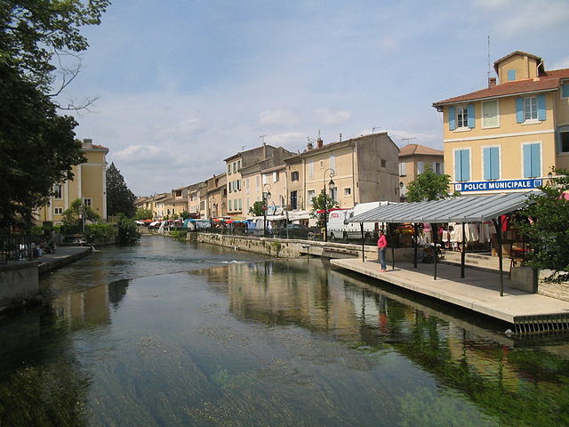
 Hiking in L'Isle-sur-la-Sorgue
L'Isle-sur-la-Sorgue is a picturesque town located in the Provence-Alpes-Côte d'Azur region of France, renowned for its beautiful canals, charming antique shops, and vibrant markets. While it is mostly known for its cultural and historical significance, it also offers various opportunities for hiking and enjoying the natural landscape....
- Country:

- Postal Code: 84800
- Coordinates: 43° 55' 10" N, 5° 3' 5" E


- GPS tracks (wikiloc): [Link]
- AboveSeaLevel: 246 м m
- Area: 44.57 sq km
- Population: 19483
- Web site: [Link]


Le Thor
- commune in Vaucluse, France
- Country:

- Postal Code: 84250
- Coordinates: 43° 55' 45" N, 4° 59' 40" E


- GPS tracks (wikiloc): [Link]
- Area: 35.53 sq km
- Population: 8879
- Web site: [Link]


Plan-d'Orgon
- commune in Bouches-du-Rhône, France
- Country:

- Postal Code: 13750
- Coordinates: 43° 48' 39" N, 5° 0' 5" E


- GPS tracks (wikiloc): [Link]
- Area: 14.94 sq km
- Population: 3406
