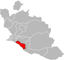
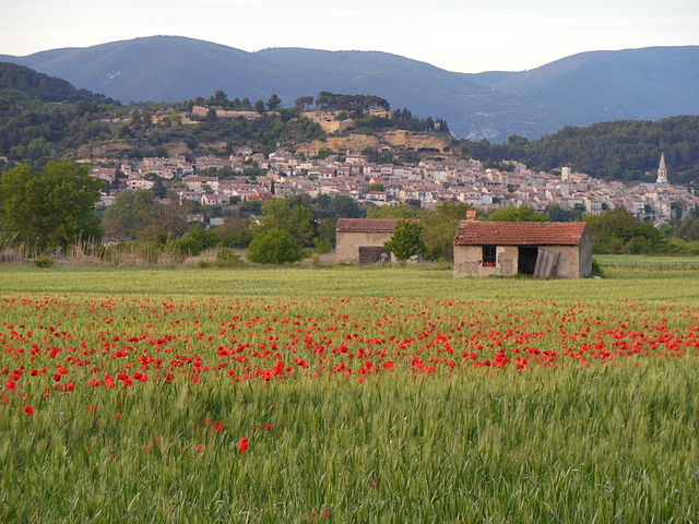
arrondissement of Apt (arrondissement d'Apt)
- arrondissement of France
 Hiking in arrondissement of Apt
The Arrondissement of Apt, located in the Vaucluse department of the Provence-Alpes-Côte d'Azur region in southeastern France, offers a variety of stunning hiking opportunities that showcase the region's diverse landscapes, charming villages, and rich history.
Key Hiking Areas:
-
Luberon Regional Park:
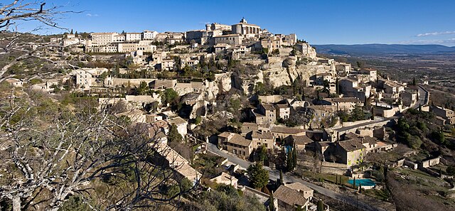
- This park is one of the most popular hiking destinations in the region. It features beautiful vineyards, lavender fields, and picturesque villages like Roussillon and Gordes. The Luberon hiking trails include options for all skill levels, with routes winding through scenic landscapes and offering breathtaking views of the surrounding countryside.
-
Ochre Trail of Roussillon:
- A must-see for hikers, this trail allows you to experience the unique ochre deposits in the area. The path is well-marked and features vibrant red and yellow cliffs. The loop is relatively short, making it accessible and approachable for families.
-
Sentier des Ocres:
- This is another enchanting trail that highlights the ochre landscapes of Provence. You’ll encounter striking geological formations while learning about the history of ochre mining in the region.
-
Gorges de Régalon:
- A more adventurous option, this gorge offers a challenging hike with stunning rock formations and canyons. The pathway through the gorge includes some scrambling, so it’s best suited for more experienced hikers. The natural surroundings here are breathtaking and less frequented by tourists.
-
Mont Ventoux:
- While not technically in the Arrondissement of Apt, Mont Ventoux is nearby and offers various trails, ranging from beginner to expert levels, along with exceptional panoramic views of the surrounding area. Hiking here typically attracts those looking for a bit more challenge.
Practical Considerations:
-
Best Time to Hike: The best times to hike in the Arrondissement of Apt are during the spring (April to June) and fall (September to October) when the weather is mild and the landscapes are colorful.
-
Trail Markings: Many of the trails are well-marked with signposts indicating the route and points of interest, but it’s always a good idea to bring a map or GPS device.
-
Weather: The weather can change rapidly in mountainous areas, so be prepared with layers, and check forecasts before heading out.
-
Safety: Always carry enough water, snacks, and a first aid kit. Be mindful of wildlife and stay on marked trails to preserve the natural environment.
Whether you're interested in leisurely strolls through charming villages or more challenging hikes through rugged terrains, the Arrondissement of Apt has something to offer for every hiker. Enjoy your adventure!
- Country:

- Capital: Apt
- Coordinates: 43° 53' 0" N, 5° 24' 0" E


- GPS tracks (wikiloc): [Link]
- Area: 1377 sq km
- Population: 128195
- Wikipedia en: wiki(en)
- Wikipedia: wiki(fr)
- Wikidata storage: Wikidata: Q700451
- Freebase ID: [/m/095krb]
- GeoNames ID: Alt: [3037351]
- Library of Congress authority ID: Alt: [no2017085452]
- INSEE arrondissement code: [841]
- GNS Unique Feature ID: -1407953
Includes regions:


canton of Apt
- canton of France
The Canton of Apt, located in the Vaucluse department of Provence-Alpes-Côte d'Azur in southeastern France, offers a delightful range of hiking opportunities. Known for its stunning landscapes, quaint villages, and historical significance, this region is a paradise for outdoor enthusiasts....
- Country:

- Capital: Apt
- Coordinates: 43° 53' 50" N, 5° 27' 32" E


- GPS tracks (wikiloc): [Link]
- Population: 32441


Canton of Bonnieux
- canton of France (until March 2015)
The Canton of Bonnieux, located in the picturesque region of Provence in France, offers a stunning landscape that is perfect for hiking enthusiasts. The area is characterized by its beautiful hilltop villages, vineyards, lavender fields, and breathtaking views of the Luberon Valley....


canton of Cavaillon
- canton of France
Canton of Cavaillon, located in the Vaucluse department in the Provence-Alpes-Côte d'Azur region of southeastern France, offers a variety of hiking opportunities amidst scenic landscapes that feature rolling hills, vineyards, and picturesque villages....
- Country:

- Capital: Cavaillon
- Coordinates: 43° 54' 30" N, 5° 2' 52" E


- GPS tracks (wikiloc): [Link]
- Population: 31479


canton of Pertuis
- canton of France
The Canton of Pertuis, located in the Vaucluse department of the Provence-Alpes-Côte d'Azur region in southeastern France, offers a variety of hiking opportunities that showcase the beautiful landscapes and rich cultural heritage of the area. Here are some highlights about hiking in this region:...
- Country:

- Capital: Pertuis
- Coordinates: 43° 45' 11" N, 5° 33' 43" E


- GPS tracks (wikiloc): [Link]
- Population: 38267


Canton of Cadenet
- canton of France (until March 2015)
Hiking in the Canton of Cadenet, located in the Vaucluse department of the Provence-Alpes-Côte d'Azur region in southeastern France, offers a delightful experience for outdoor enthusiasts. The area is characterized by its stunning natural beauty, historical sites, and diverse landscapes....

canton of Gordes
- canton of France (until March 2015)
The Canton of Gordes, located in the beautiful Luberon region of Provence, France, offers stunning landscapes, charming villages, and a rich cultural heritage that make it an attractive destination for hikers. Here's what you should know about hiking in this area:...