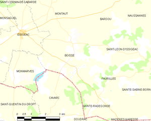
Cavarc (Cavarc)

- commune in Lot-et-Garonne, France
- Country:

- Postal Code: 47330
- Coordinates: 44° 41' 24" N, 0° 38' 30" E


- GPS tracks (wikiloc): [Link]
- Area: 11.99 sq km
- Population: 161
- Wikipedia en: wiki(en)
- Wikipedia: wiki(fr)
- Wikidata storage: Wikidata: Q24660
- Wikipedia Commons Category: [Link]
- Freebase ID: [/m/03qm12c]
- GeoNames ID: Alt: [6449304]
- SIREN number: [214700635]
- BnF ID: [15261144k]
- INSEE municipality code: 47063
Shares border with regions:

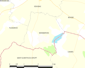
Monmarvès
- commune in Dordogne, France
- Country:
- Postal Code: 24560
- Coordinates: 44° 42' 32" N, 0° 36' 45" E
- GPS tracks (wikiloc): [Link]
- Area: 5.62 sq km
- Population: 64

Boisse
- commune in Dordogne, France
- Country:
- Postal Code: 24560
- Coordinates: 44° 42' 57" N, 0° 39' 15" E
- GPS tracks (wikiloc): [Link]
- Area: 16.58 sq km
- Population: 248


Sainte-Radegonde
- commune in Dordogne, France
- Country:
- Postal Code: 24560
- Coordinates: 44° 41' 25" N, 0° 40' 42" E
- GPS tracks (wikiloc): [Link]
- AboveSeaLevel: 100 м m
- Area: 4.81 sq km
- Population: 62


Doudrac
- commune in Lot-et-Garonne, France
- Country:
- Postal Code: 47210
- Coordinates: 44° 39' 31" N, 0° 40' 54" E
- GPS tracks (wikiloc): [Link]
- Area: 8.61 sq km
- Population: 84


Ferrensac
- commune in Lot-et-Garonne, France
- Country:
- Postal Code: 47330
- Coordinates: 44° 38' 29" N, 0° 37' 52" E
- GPS tracks (wikiloc): [Link]
- Area: 12.32 sq km
- Population: 220


Saint-Quentin-du-Dropt
- commune in Lot-et-Garonne, France
- Country:
- Postal Code: 47330
- Coordinates: 44° 41' 4" N, 0° 36' 0" E
- GPS tracks (wikiloc): [Link]
- Area: 11.9 sq km
- Population: 198