Cellieu (Cellieu)
- commune in Loire, France
- Country:

- Postal Code: 42320
- Coordinates: 45° 31' 22" N, 4° 32' 28" E


- GPS tracks (wikiloc): [Link]
- Area: 12.11 sq km
- Population: 1701
- Wikipedia en: wiki(en)
- Wikipedia: wiki(fr)
- Wikidata storage: Wikidata: Q1066241
- Wikipedia Commons Category: [Link]
- Freebase ID: [/m/03nw5dx]
- Freebase ID: [/m/03nw5dx]
- GeoNames ID: Alt: [6448969]
- GeoNames ID: Alt: [6448969]
- SIREN number: [214200321]
- SIREN number: [214200321]
- BnF ID: [15259602r]
- BnF ID: [15259602r]
- VIAF ID: Alt: [235231142]
- VIAF ID: Alt: [235231142]
- GND ID: Alt: [4650102-2]
- GND ID: Alt: [4650102-2]
- INSEE municipality code: 42032
- INSEE municipality code: 42032
Shares border with regions:
La Grand-Croix
- commune in Loire, France
- Country:

- Postal Code: 42320
- Coordinates: 45° 30' 11" N, 4° 34' 8" E


- GPS tracks (wikiloc): [Link]
- Area: 4.05 sq km
- Population: 5072
- Web site: [Link]
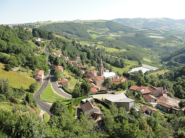

Valfleury
- commune in Loire, France
- Country:

- Postal Code: 42320
- Coordinates: 45° 31' 21" N, 4° 29' 33" E


- GPS tracks (wikiloc): [Link]
- Area: 8.77 sq km
- Population: 706
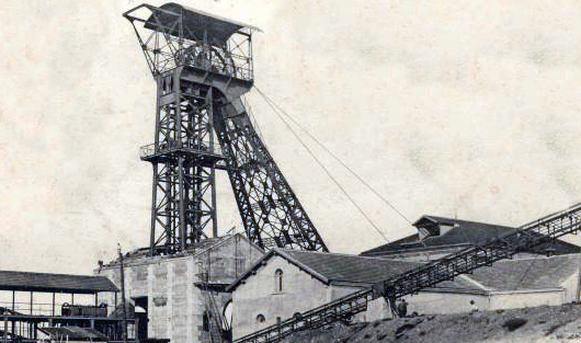

L'Horme
- commune in Loire, France
- Country:

- Postal Code: 42152
- Coordinates: 45° 29' 11" N, 4° 32' 41" E


- GPS tracks (wikiloc): [Link]
- Area: 4.4 sq km
- Population: 4820
- Web site: [Link]

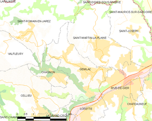
Genilac
- commune in Loire, France
- Country:

- Postal Code: 42800
- Coordinates: 45° 31' 56" N, 4° 34' 54" E


- GPS tracks (wikiloc): [Link]
- AboveSeaLevel: 413 м m
- Area: 8.67 sq km
- Population: 3888

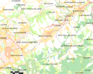
Saint-Chamond
- commune in Loire, France
- Country:

- Postal Code: 42400
- Coordinates: 45° 28' 35" N, 4° 30' 53" E


- GPS tracks (wikiloc): [Link]
- AboveSeaLevel: 375 м m
- Area: 54.88 sq km
- Population: 34870
- Web site: [Link]


Lorette
- commune in Loire, France
- Country:

- Postal Code: 42420
- Coordinates: 45° 30' 43" N, 4° 34' 52" E


- GPS tracks (wikiloc): [Link]
- Area: 3.41 sq km
- Population: 4724
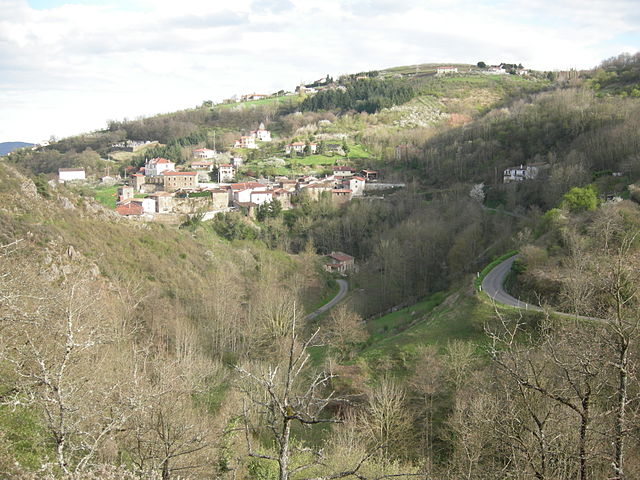

Chagnon
- commune in Loire, France
- Country:

- Postal Code: 42800
- Coordinates: 45° 32' 5" N, 4° 33' 11" E


- GPS tracks (wikiloc): [Link]
- Area: 2.48 sq km
- Population: 492
