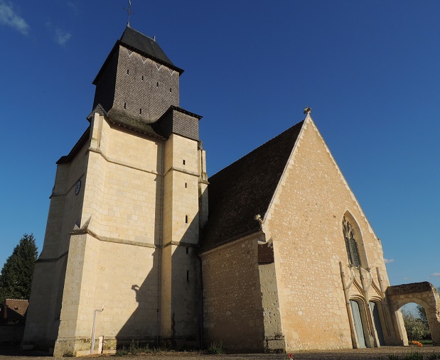
Ceton (Ceton)

- commune in Orne, France
- Country:

- Postal Code: 61260
- Coordinates: 48° 13' 34" N, 0° 45' 0" E


- GPS tracks (wikiloc): [Link]
- Area: 59.39 sq km
- Population: 1807
- Wikipedia en: wiki(en)
- Wikipedia: wiki(fr)
- Wikidata storage: Wikidata: Q1095903
- Wikipedia Commons Category: [Link]
- Freebase ID: [/m/03qgrlv]
- Freebase ID: [/m/03qgrlv]
- GeoNames ID: Alt: [6450209]
- GeoNames ID: Alt: [6450209]
- SIREN number: [216100792]
- SIREN number: [216100792]
- PACTOLS thesaurus ID: [pcrtv3JfD43JI3]
- PACTOLS thesaurus ID: [pcrtv3JfD43JI3]
- INSEE municipality code: 61079
- INSEE municipality code: 61079
Shares border with regions:


Les Étilleux
- commune in Eure-et-Loir, France
- Country:
- Postal Code: 28330
- Coordinates: 48° 14' 0" N, 0° 49' 21" E
- GPS tracks (wikiloc): [Link]
- Area: 8.35 sq km
- Population: 225


Saint-Bomer
- commune in Eure-et-Loir, France
- Country:
- Postal Code: 28330
- Coordinates: 48° 11' 43" N, 0° 49' 40" E
- GPS tracks (wikiloc): [Link]
- AboveSeaLevel: 193 м m
- Area: 13.32 sq km
- Population: 203

Avezé
- commune in Sarthe, France
- Country:
- Postal Code: 72400
- Coordinates: 48° 13' 38" N, 0° 40' 38" E
- GPS tracks (wikiloc): [Link]
- Area: 20.81 sq km
- Population: 744
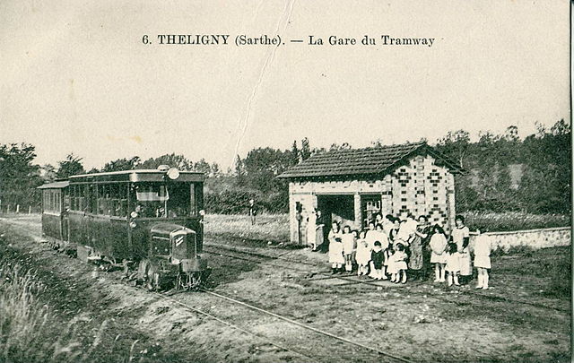

Théligny
- commune in Sarthe, France
- Country:
- Postal Code: 72320
- Coordinates: 48° 10' 31" N, 0° 47' 59" E
- GPS tracks (wikiloc): [Link]
- Area: 14.31 sq km
- Population: 219


Mâle
- former commune in Orne, France
- Country:
- Postal Code: 61260
- Coordinates: 48° 16' 16" N, 0° 44' 20" E
- GPS tracks (wikiloc): [Link]
- Area: 21.9 sq km
- Population: 755
- Web site: [Link]


Cherreau
- commune in Sarthe, France
- Country:
- Postal Code: 72400
- Coordinates: 48° 11' 34" N, 0° 40' 58" E
- GPS tracks (wikiloc): [Link]
- Area: 11.64 sq km
- Population: 938

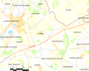
Cormes
- commune in Sarthe, France
- Country:
- Postal Code: 72400
- Coordinates: 48° 10' 12" N, 0° 42' 17" E
- GPS tracks (wikiloc): [Link]
- Area: 19 sq km
- Population: 906
- Web site: [Link]