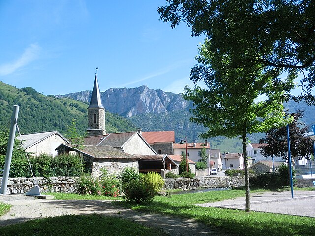
Château-Verdun (Château-Verdun)
- commune in Ariège, France
- Country:

- Postal Code: 09310
- Coordinates: 42° 46' 56" N, 1° 40' 47" E


- GPS tracks (wikiloc): [Link]
- Area: 0.79 sq km
- Population: 39
- Wikipedia en: wiki(en)
- Wikipedia: wiki(fr)
- Wikidata storage: Wikidata: Q1084006
- Wikipedia Commons Category: [Link]
- Freebase ID: [/m/03m8m3f]
- GeoNames ID: Alt: [6446903]
- SIREN number: [210900965]
- VIAF ID: Alt: [239667792]
- OSM relation ID: [2080837]
- INSEE municipality code: 09096
Shares border with regions:

Les Cabannes
- commune in Ariège, France
- Country:
- Postal Code: 09310
- Coordinates: 42° 47' 8" N, 1° 41' 14" E
- GPS tracks (wikiloc): [Link]
- Area: 0.87 sq km
- Population: 335

Aulos
- commune in Ariège, France
- Country:
- Postal Code: 09310
- Coordinates: 42° 47' 32" N, 1° 40' 30" E
- GPS tracks (wikiloc): [Link]
- Area: 1.04 sq km
- Population: 55

Larcat
- commune in Ariège, France
- Country:
- Postal Code: 09310
- Coordinates: 42° 46' 43" N, 1° 39' 41" E
- GPS tracks (wikiloc): [Link]
- Area: 9.31 sq km
- Population: 46
Aston
- commune in Ariège, France
- Country:
- Postal Code: 09310
- Coordinates: 42° 46' 29" N, 1° 40' 24" E
- GPS tracks (wikiloc): [Link]
- Area: 153.8 sq km
- Population: 226
Pech
- commune in Ariège, France
- Country:
- Postal Code: 09310
- Coordinates: 42° 46' 58" N, 1° 41' 11" E
- GPS tracks (wikiloc): [Link]
- Area: 4.81 sq km
- Population: 40