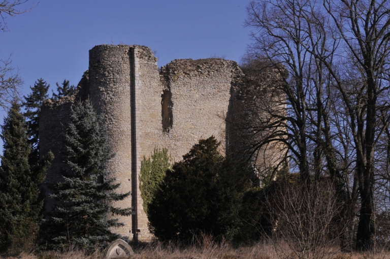
Château-sur-Allier (Château-sur-Allier)
- commune in Allier, France
- Country:

- Postal Code: 03320
- Coordinates: 46° 45' 57" N, 3° 1' 44" E


- GPS tracks (wikiloc): [Link]
- Area: 27.75 sq km
- Population: 179
- Wikipedia en: wiki(en)
- Wikipedia: wiki(fr)
- Wikidata storage: Wikidata: Q777383
- Wikipedia Commons Category: [Link]
- Freebase ID: [/m/03m7scl]
- Freebase ID: [/m/03m7scl]
- GeoNames ID: Alt: [6446543]
- GeoNames ID: Alt: [6446543]
- SIREN number: [210300646]
- SIREN number: [210300646]
- INSEE municipality code: 03064
- INSEE municipality code: 03064
Shares border with regions:


Mornay-sur-Allier
- commune in Cher, France
- Country:
- Postal Code: 18600
- Coordinates: 46° 49' 8" N, 3° 1' 44" E
- GPS tracks (wikiloc): [Link]
- Area: 21.62 sq km
- Population: 425

Lurcy-Lévis
- commune in Allier, France
- Country:
- Postal Code: 03320
- Coordinates: 46° 43' 47" N, 2° 56' 18" E
- GPS tracks (wikiloc): [Link]
- Area: 71.42 sq km
- Population: 1925


Livry
- commune in Nièvre, France
- Country:
- Postal Code: 58240
- Coordinates: 46° 46' 30" N, 3° 4' 24" E
- GPS tracks (wikiloc): [Link]
- Area: 27.62 sq km
- Population: 696
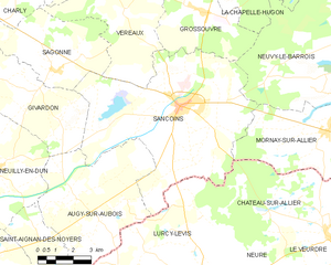
Sancoins
- commune in Cher, France
- Country:
- Postal Code: 18600
- Coordinates: 46° 49' 55" N, 2° 55' 8" E
- GPS tracks (wikiloc): [Link]
- Area: 53.52 sq km
- Population: 3107
- Web site: [Link]


Neure
- commune in Allier, France
- Country:
- Postal Code: 03320
- Coordinates: 46° 44' 48" N, 2° 58' 50" E
- GPS tracks (wikiloc): [Link]
- Area: 11.97 sq km
- Population: 182

Le Veurdre
- commune in Allier, France
- Country:
- Postal Code: 03320
- Coordinates: 46° 45' 22" N, 3° 2' 23" E
- GPS tracks (wikiloc): [Link]
- Area: 21.16 sq km
- Population: 460