Châteauneuf-sur-Isère (Châteauneuf-sur-Isère)
- commune in Drôme, France
 Hiking in Châteauneuf-sur-Isère
Châteauneuf-sur-Isère is a charming commune located in the Auvergne-Rhône-Alpes region of southeastern France, not far from the town of Valence. The area is characterized by its picturesque landscapes, rolling hills, and proximity to the Drôme River, making it an attractive spot for outdoor activities, including hiking.
Hiking Opportunities:
-
Trails and Paths:
- The region offers several well-marked hiking trails that cater to different skill levels. You can find routes that lead through forests, vineyards, and scenic countryside, allowing you to experience the local flora and fauna.
- Popular trails often connect to nearby natural parks or lead to viewpoints where hikers can enjoy panoramic views of the surrounding landscape.
-
Surrounding Areas:
- The nearby Vercors Regional Natural Park and the northern foothills of the French Alps offer more rugged hiking options, ideal for those seeking more challenging hikes with elevation gain and varied terrain.
- The Drôme Valley is also famous for its beautiful landscapes, and you can find trails along the river that are suitable for both hiking and cycling.
-
Cultural and Historical Elements:
- While hiking, you may encounter various historical sites and local heritage, such as traditional stone houses, old bridges, and churches. This adds an enriching cultural aspect to your outdoor experience.
-
Best Time to Hike:
- The best seasons for hiking in Châteauneuf-sur-Isère are typically spring (April to June) and fall (September to October), when the weather is mild and the surrounding nature is at its most vibrant.
- Summer can also be enjoyable, but be prepared for hotter temperatures, and ensure to have plenty of water.
-
Preparation and Safety:
- Always carry a map or GPS device, especially if you’re venturing on less frequented paths. Mobile reception may be spotty in more remote areas.
- Wear proper hiking footwear and clothes suited to the weather conditions, and don’t forget sun protection during warmer months.
Additional Tips:
- Local Guides: Consider hiring a local guide if you’re unfamiliar with the area, as they can provide insights and lead you to hidden gems.
- Pack for a Picnic: The area’s natural beauty makes it perfect for a picnic, so pack some food and enjoy a break in the great outdoors.
- Respect Nature: Make sure to follow Leave No Trace principles to preserve the beauty of the landscape for others.
Hiking in and around Châteauneuf-sur-Isère can provide a wonderful experience, combining the joys of nature with the exploration of regional culture and history. Enjoy your hike!
- Country:

- Postal Code: 26300
- Coordinates: 45° 0' 50" N, 4° 56' 5" E


- GPS tracks (wikiloc): [Link]
- AboveSeaLevel: 155 м m
- Area: 45.57 sq km
- Population: 3839
- Web site: http://www.mairie-chateauneuf-sur-isere.fr/
- Wikipedia en: wiki(en)
- Wikipedia: wiki(fr)
- Wikidata storage: Wikidata: Q381514
- Wikipedia Commons Category: [Link]
- Freebase ID: [/m/03mhfrk]
- GeoNames ID: Alt: [6616247]
- SIREN number: [212600845]
- BnF ID: [152529455]
- PACTOLS thesaurus ID: [pcrtwRTiD8y9IW]
- INSEE municipality code: 26084
Shares border with regions:


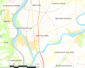
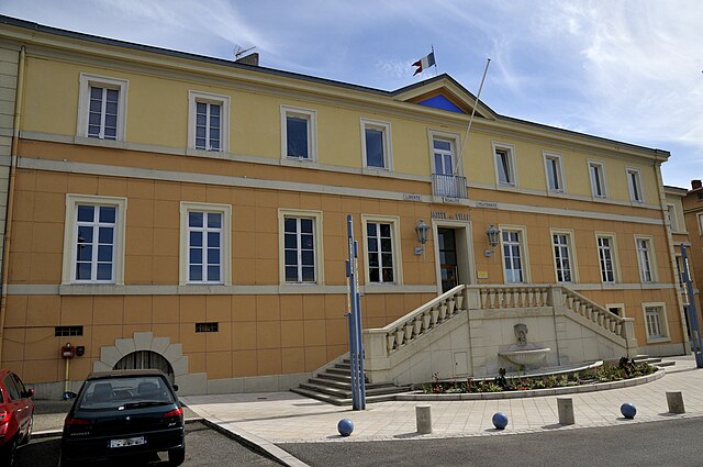
Pont-de-l'Isère
- commune in Drôme, France
Pont-de-l'Isère is a charming commune in the Auvergne-Rhône-Alpes region of France, located near the Drôme River and just a short distance from the city of Valence. It offers various outdoor activities, including hiking, thanks to its beautiful natural landscapes and proximity to the Vercors and Rhône Valley....
- Country:

- Postal Code: 26600
- Coordinates: 45° 0' 17" N, 4° 52' 0" E


- GPS tracks (wikiloc): [Link]
- Area: 10.09 sq km
- Population: 3363


La Roche-de-Glun
- commune in Drôme, France
La Roche-de-Glun, located in the Drôme department of the Auvergne-Rhône-Alpes region in southeastern France, offers various hiking opportunities that highlight its natural beauty and scenic landscapes. Here are some key points about hiking in this area:...
- Country:

- Postal Code: 26600
- Coordinates: 45° 0' 43" N, 4° 50' 51" E


- GPS tracks (wikiloc): [Link]
- Area: 12.79 sq km
- Population: 3258
- Web site: [Link]


Granges-les-Beaumont
- commune in Drôme, France
 Hiking in Granges-les-Beaumont
Granges-les-Beaumont is a charming village located in the Auvergne-Rhône-Alpes region of France, known for its picturesque landscapes and outdoor activities, including hiking. Here are some key points to consider if you’re planning a hiking trip in this area:...
- Country:

- Postal Code: 26600
- Coordinates: 45° 3' 4" N, 4° 58' 59" E


- GPS tracks (wikiloc): [Link]
- AboveSeaLevel: 120 м m
- Area: 7.51 sq km
- Population: 943


Romans-sur-Isère
- commune in Drôme, France
Romans-sur-Isère is a charming town located in the Drôme department in southeastern France. Nestled near the banks of the Isère River, the area offers a variety of hiking opportunities that allow you to explore the natural beauty of the region....
- Country:

- Postal Code: 26100
- Coordinates: 45° 2' 44" N, 5° 3' 3" E


- GPS tracks (wikiloc): [Link]
- Area: 33.08 sq km
- Population: 33465
- Web site: [Link]


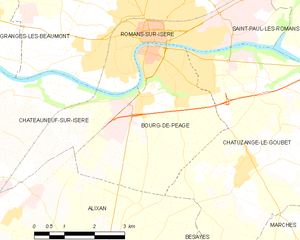
Bourg-de-Péage
- commune in Drôme, France
Bourg-de-Péage is a charming commune located in the Drôme department of southeastern France, known for its picturesque landscapes and proximity to the Rhône Alps, making it a great base for hiking enthusiasts. Here are some highlights and tips for hiking in and around Bourg-de-Péage:...
- Country:

- Postal Code: 26300
- Coordinates: 45° 2' 16" N, 5° 3' 0" E


- GPS tracks (wikiloc): [Link]
- AboveSeaLevel: 135 м m
- Area: 13.71 sq km
- Population: 10497
- Web site: [Link]


Bourg-lès-Valence
- commune in Drôme, France
Bourg-lès-Valence is a charming town located in the Auvergne-Rhône-Alpes region of France, situated near the banks of the Rhône River. While it may not be a major hiking destination in itself, its proximity to the surrounding natural landscapes makes it a great starting point for various hiking opportunities....
- Country:

- Postal Code: 26500
- Coordinates: 44° 56' 51" N, 4° 53' 43" E


- GPS tracks (wikiloc): [Link]
- Area: 20.3 sq km
- Population: 20074
- Web site: [Link]


Alixan
- commune in Drôme, France
Alixan is a charming commune located in the Drôme department of southeastern France. While it may not be as well-known as some of the more prominent hiking destinations, it offers a serene landscape and opportunities for outdoor activities, including hiking....
- Country:

- Postal Code: 26300
- Coordinates: 44° 58' 30" N, 5° 1' 39" E


- GPS tracks (wikiloc): [Link]
- Area: 28.28 sq km
- Population: 2484


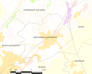
Saint-Marcel-lès-Valence
- commune in Drôme, France
 Hiking in Saint-Marcel-lès-Valence
Saint-Marcel-lès-Valence, located in the Auvergne-Rhône-Alpes region of France, offers a variety of hiking opportunities that showcase the beautiful landscapes of the Drôme department. Here are some key points about hiking in the area:...
- Country:

- Postal Code: 26320
- Coordinates: 44° 58' 15" N, 4° 57' 24" E


- GPS tracks (wikiloc): [Link]
- Area: 15.05 sq km
- Population: 6165


Beaumont-Monteux
- commune in Drôme, France
Beaumont-Monteux, located in the Drôme department of southeastern France, is a charming area that offers a variety of hiking opportunities amidst beautiful landscapes. The region is known for its stunning views of the surrounding mountains, vineyards, and the Rhône River....
- Country:

- Postal Code: 26600
- Coordinates: 45° 1' 12" N, 4° 55' 14" E


- GPS tracks (wikiloc): [Link]
- Area: 13.37 sq km
- Population: 1282
