Chambilly (Chambilly)

- commune in Saône-et-Loire, France
- Country:

- Postal Code: 71110
- Coordinates: 46° 16' 47" N, 4° 0' 49" E


- GPS tracks (wikiloc): [Link]
- Area: 13.63 sq km
- Population: 509
- Web site: http://www.chambilly.fr
- Wikipedia en: wiki(en)
- Wikipedia: wiki(fr)
- Wikidata storage: Wikidata: Q1423457
- Wikipedia Commons Category: [Link]
- Wikipedia Commons Maps Category: [Link]
- Freebase ID: [/m/03qfz0v]
- Freebase ID: [/m/03qfz0v]
- GeoNames ID: Alt: [6450892]
- GeoNames ID: Alt: [6450892]
- SIREN number: [217100775]
- SIREN number: [217100775]
- BnF ID: [15273050x]
- BnF ID: [15273050x]
- INSEE municipality code: 71077
- INSEE municipality code: 71077
Shares border with regions:


Artaix
- commune in Saône-et-Loire, France
- Country:
- Postal Code: 71110
- Coordinates: 46° 14' 43" N, 4° 0' 40" E
- GPS tracks (wikiloc): [Link]
- Area: 21.41 sq km
- Population: 323
- Web site: [Link]


Céron
- commune in Saône-et-Loire, France
- Country:
- Postal Code: 71110
- Coordinates: 46° 16' 57" N, 3° 56' 38" E
- GPS tracks (wikiloc): [Link]
- Area: 23.53 sq km
- Population: 270


Marcigny
- commune in Saône-et-Loire, France
- Country:
- Postal Code: 71110
- Coordinates: 46° 16' 29" N, 4° 2' 29" E
- GPS tracks (wikiloc): [Link]
- AboveSeaLevel: 242 м m
- Area: 8.15 sq km
- Population: 1809
- Web site: [Link]

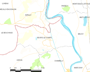
Bourg-le-Comte
- commune in Saône-et-Loire, France
- Country:
- Postal Code: 71110
- Coordinates: 46° 18' 32" N, 3° 59' 19" E
- GPS tracks (wikiloc): [Link]
- Area: 11.4 sq km
- Population: 185


Baugy, Saône-et-Loire
- commune in Saône-et-Loire, France
- Country:
- Postal Code: 71110
- Coordinates: 46° 17' 52" N, 4° 1' 39" E
- GPS tracks (wikiloc): [Link]
- AboveSeaLevel: 256 м m
- Area: 12.61 sq km
- Population: 510