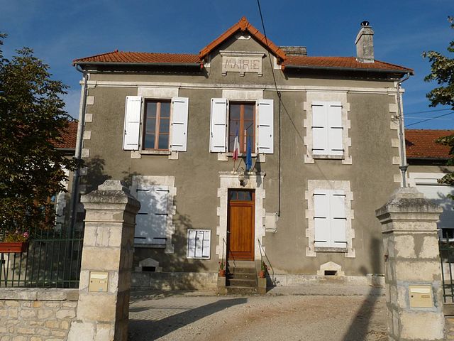
Champagne-Mouton (Champagne-Mouton)

- commune in Charente, France
- Country:

- Postal Code: 16350
- Coordinates: 45° 59' 28" N, 0° 24' 39" E


- GPS tracks (wikiloc): [Link]
- Area: 22.59 sq km
- Population: 901
- Wikipedia en: wiki(en)
- Wikipedia: wiki(fr)
- Wikidata storage: Wikidata: Q1152850
- Wikipedia Commons Category: [Link]
- Freebase ID: [/m/03mc6bs]
- GeoNames ID: Alt: [3027247]
- SIREN number: [211600762]
- BnF ID: [15248515c]
- INSEE municipality code: 16076
Shares border with regions:


Benest
- commune in Charente, France
- Country:
- Postal Code: 16350
- Coordinates: 46° 2' 18" N, 0° 27' 7" E
- GPS tracks (wikiloc): [Link]
- Area: 21.1 sq km
- Population: 324


Vieux-Ruffec
- commune in Charente, France
- Country:
- Postal Code: 16350
- Coordinates: 46° 0' 34" N, 0° 23' 17" E
- GPS tracks (wikiloc): [Link]
- Area: 12.75 sq km
- Population: 107


Nanteuil-en-Vallée
- commune in Charente, France
- Country:
- Postal Code: 16700
- Coordinates: 46° 0' 4" N, 0° 19' 25" E
- GPS tracks (wikiloc): [Link]
- Area: 68.85 sq km
- Population: 1341

Chassiecq
- commune in Charente, France
- Country:
- Postal Code: 16350
- Coordinates: 45° 57' 14" N, 0° 22' 45" E
- GPS tracks (wikiloc): [Link]
- Area: 13.06 sq km
- Population: 152


Le Vieux-Cérier
- commune in Charente, France
- Country:
- Postal Code: 16350
- Coordinates: 45° 57' 57" N, 0° 26' 41" E
- GPS tracks (wikiloc): [Link]
- Area: 9.65 sq km
- Population: 133

Turgon
- commune in Charente, France
- Country:
- Postal Code: 16350
- Coordinates: 45° 56' 59" N, 0° 24' 0" E
- GPS tracks (wikiloc): [Link]
- Area: 7.26 sq km
- Population: 86


Saint-Coutant
- commune in Charente, France
- Country:
- Postal Code: 16350
- Coordinates: 45° 59' 43" N, 0° 27' 33" E
- GPS tracks (wikiloc): [Link]
- AboveSeaLevel: 190 м m
- Area: 19.4 sq km
- Population: 224