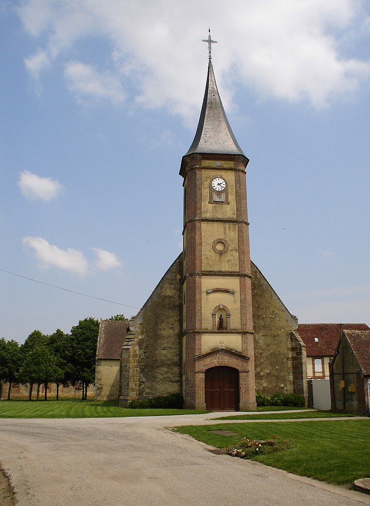
Chandai (Chandai)

- commune in Orne, France
- Country:

- Postal Code: 61300
- Coordinates: 48° 45' 11" N, 0° 44' 21" E


- GPS tracks (wikiloc): [Link]
- Area: 13.73 sq km
- Population: 651
- Web site: http://www.mairie-chandai.fr
- Wikipedia en: wiki(en)
- Wikipedia: wiki(fr)
- Wikidata storage: Wikidata: Q1095111
- Wikipedia Commons Category: [Link]
- Freebase ID: [/m/03qgrq8]
- Freebase ID: [/m/03qgrq8]
- GeoNames ID: Alt: [6450218]
- GeoNames ID: Alt: [6450218]
- SIREN number: [216100925]
- SIREN number: [216100925]
- BnF ID: [15268027d]
- BnF ID: [15268027d]
- INSEE municipality code: 61092
- INSEE municipality code: 61092
Shares border with regions:


Chaise-Dieu-du-Theil
- commune in Eure, France
- Country:
- Postal Code: 27580
- Coordinates: 48° 46' 5" N, 0° 45' 40" E
- GPS tracks (wikiloc): [Link]
- Area: 5.93 sq km
- Population: 238
- Web site: [Link]

Saint-Michel-Tubœuf
- commune in Orne, France
- Country:
- Postal Code: 61300
- Coordinates: 48° 45' 8" N, 0° 41' 20" E
- GPS tracks (wikiloc): [Link]
- AboveSeaLevel: 230 м m
- Area: 8.73 sq km
- Population: 625


Saint-Ouen-sur-Iton
- commune in Orne, France
- Country:
- Postal Code: 61300
- Coordinates: 48° 44' 7" N, 0° 41' 40" E
- GPS tracks (wikiloc): [Link]
- Area: 14.19 sq km
- Population: 852


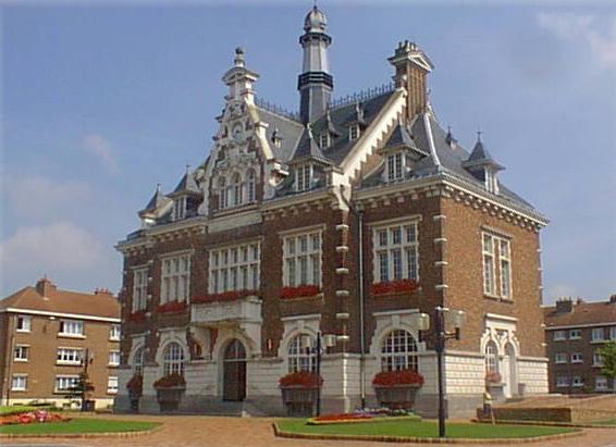
Saint-Sulpice-sur-Risle
- commune in Orne, France
- Country:
- Postal Code: 61300
- Coordinates: 48° 46' 50" N, 0° 39' 24" E
- GPS tracks (wikiloc): [Link]
- AboveSeaLevel: 206 м m
- Area: 28.45 sq km
- Population: 1684
Vitrai-sous-Laigle
- commune in Orne, France
- Country:
- Postal Code: 61300
- Coordinates: 48° 42' 58" N, 0° 42' 35" E
- GPS tracks (wikiloc): [Link]
- AboveSeaLevel: 231 м m
- Area: 11.33 sq km
- Population: 226

Gournay-le-Guérin
- commune in Eure, France
- Country:
- Postal Code: 27580
- Coordinates: 48° 42' 26" N, 0° 46' 29" E
- GPS tracks (wikiloc): [Link]
- AboveSeaLevel: 210 м m
- Area: 12.27 sq km
- Population: 134