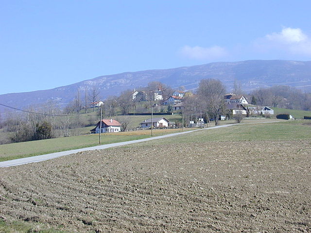
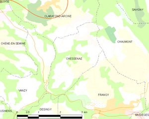
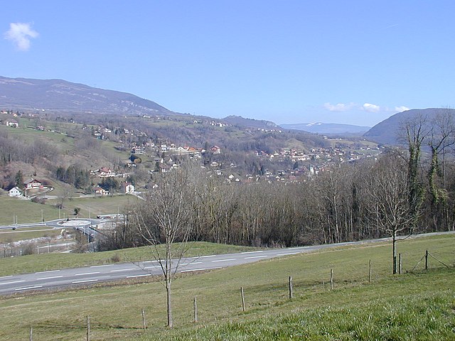
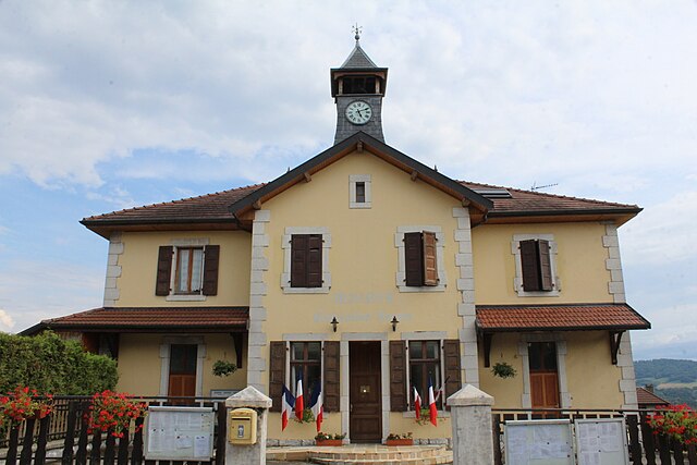
Chaumont (Chaumont)

- commune in Haute-Savoie, France
 Hiking in Chaumont
Chaumont, located in the Haute-Savoie region of France, is known for its stunning alpine scenery and excellent hiking opportunities. Nestled in the French Alps, it offers a mix of beautiful landscapes, rich flora and fauna, and a variety of trail difficulties suitable for all levels of hikers.
Hiking Trails
-
The Mont Charvin Loop: This trail leads you to the summit of Mont Charvin, offering breathtaking panoramic views of the surrounding mountains and valleys. It's a moderately challenging hike and is best suited for experienced hikers.
-
La Tournette: While a bit further out from Chaumont, the ascent to La Tournette is one of the most popular hikes in the region. It’s a strenuous hike but rewards you with incredible views over Lake Annecy and the surrounding Alps.
-
Local Nature Walks: There are numerous shorter trails and nature walks around Chaumont that are perfect for families or those looking for a leisurely stroll. These usually highlight the regional flora and fauna, providing a great opportunity for birdwatching and photography.
Best Times to Hike
- Summer (June to September): This is the best season for hiking in the Haute-Savoie. The weather is generally mild, and the trails are well-maintained.
- Early Autumn (October): The fall foliage can be stunning, but be aware that weather conditions can change quickly.
Preparation and Tips
- Gear: Make sure to wear sturdy hiking boots and bring layers, as temperatures can fluctuate significantly in the mountains.
- Water and Snacks: Always carry sufficient water and energy-boosting snacks, especially on longer hikes.
- Maps and Navigation: While many trails are well-marked, having a map or GPS device can help ensure you stay on track.
- Local Guidelines: Check if there are specific guidelines or requirements, such as permits or park fees, depending on the trails you plan to hike.
Wildlife and Nature
Hiking in the Haute-Savoie region provides ample opportunities to observe various wildlife, including chamois, marmots, and a wide range of bird species. The scenic landscapes feature lush meadows, rugged mountains, and crystalline lakes.
Summary
Chaumont in Haute-Savoie is a wonderful destination for hiking, offering trails that cater to both beginners and seasoned hikers. With its stunning landscapes, rich biodiversity, and the charm of the French Alps, it’s a great choice for outdoor enthusiasts looking to explore the beauty of the region.
- Country:

- Postal Code: 74270
- Coordinates: 46° 2' 6" N, 5° 57' 30" E


- GPS tracks (wikiloc): [Link]
- Area: 12.38 sq km
- Population: 465
- Wikipedia en: wiki(en)
- Wikipedia: wiki(fr)
- Wikidata storage: Wikidata: Q819275
- Wikipedia Commons Category: [Link]
- Freebase ID: [/m/03ntyk4]
- GeoNames ID: Alt: [6617605]
- SIREN number: [217400654]
- BnF ID: [15274324f]
- INSEE municipality code: 74065
Shares border with regions:


Musièges
- commune in Haute-Savoie, France
Hiking in Musièges
Musièges is a charming commune located in the Auvergne-Rhône-Alpes region of France, near the border with Switzerland. The area offers a variety of hiking opportunities, appealing to both beginners and seasoned hikers who wish to explore its picturesque landscapes. Here are some highlights and suggestions for hiking in Musièges:...
- Country:
- Postal Code: 74270
- Coordinates: 46° 0' 56" N, 5° 57' 12" E
- GPS tracks (wikiloc): [Link]
- Area: 2.98 sq km
- Population: 385


Clarafond-Arcine
- commune in Haute-Savoie, France
Hiking in Clarafond-Arcine
Clarafond-Arcine, a picturesque commune located in the Auvergne-Rhône-Alpes region of France, near Annecy, offers some beautiful hiking opportunities. The area is known for its stunning alpine scenery, encompassing rolling hills, lush forests, and panoramic views of the surrounding mountains....
- Country:
- Postal Code: 74270
- Coordinates: 46° 3' 51" N, 5° 53' 38" E
- GPS tracks (wikiloc): [Link]
- Area: 16.88 sq km
- Population: 978
Chessenaz
- commune in Haute-Savoie, France
Hiking in Chessenaz
Chessenaz is a picturesque area located in the French Alps, offering stunning landscapes and a variety of hiking trails suitable for different skill levels. Here are some highlights and tips for hiking in this beautiful region:...
- Country:
- Postal Code: 74270
- Coordinates: 46° 2' 2" N, 5° 53' 56" E
- GPS tracks (wikiloc): [Link]
- Area: 5.23 sq km
- Population: 209
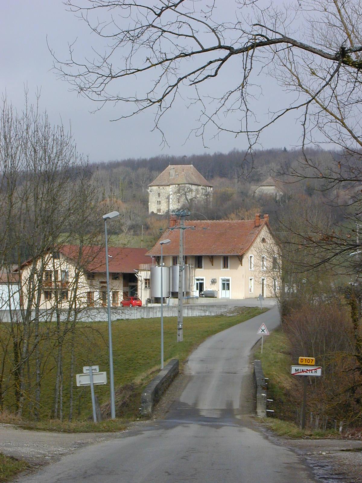

Minzier
- commune in Haute-Savoie, France
Hiking in Minzier
Minzier is a beautiful location in the Haute-Savoie region of France, nestled in the French Alps. Known for its stunning natural landscapes, it's a great destination for hiking enthusiasts. Here are some details to consider if you're planning a hike in Minzier:...
- Country:
- Postal Code: 74270
- Coordinates: 46° 3' 10" N, 5° 59' 20" E
- GPS tracks (wikiloc): [Link]
- Area: 8.79 sq km
- Population: 976


Savigny, Haute-Savoie
- commune in Haute-Savoie, France
Hiking in Savigny, Haute-Savoie
Savigny, located in the Haute-Savoie region of France, offers beautiful hiking opportunities nestled in the French Alps. This area is characterized by its stunning mountainous landscapes, lush greenery, and serene lakes, making it ideal for outdoor enthusiasts....
- Country:
- Postal Code: 74520
- Coordinates: 46° 4' 0" N, 5° 57' 41" E
- GPS tracks (wikiloc): [Link]
- Area: 10.52 sq km
- Population: 823

Frangy
- commune in Haute-Savoie, France
Hiking in Frangy
Frangy, a charming commune located in the Haute-Savoie department in the Auvergne-Rhône-Alpes region of France, is surrounded by beautiful natural landscapes, making it an excellent destination for hiking enthusiasts....
- Country:
- Postal Code: 74270
- Coordinates: 46° 1' 8" N, 5° 55' 47" E
- GPS tracks (wikiloc): [Link]
- Area: 9.69 sq km
- Population: 2086

Contamine-Sarzin
- commune in Haute-Savoie, France
Hiking in Contamine-Sarzin
Contamine-Sarzin is a charming village located in the French Alps, situated within the Haute-Savoie region. It offers a range of hiking paths that provide stunning views of the surrounding mountains and lush landscapes. Here are some details to consider when hiking in this area:...
- Country:
- Postal Code: 74270
- Coordinates: 46° 1' 28" N, 5° 58' 56" E
- GPS tracks (wikiloc): [Link]
- Area: 6.86 sq km
- Population: 681
- Web site: [Link]