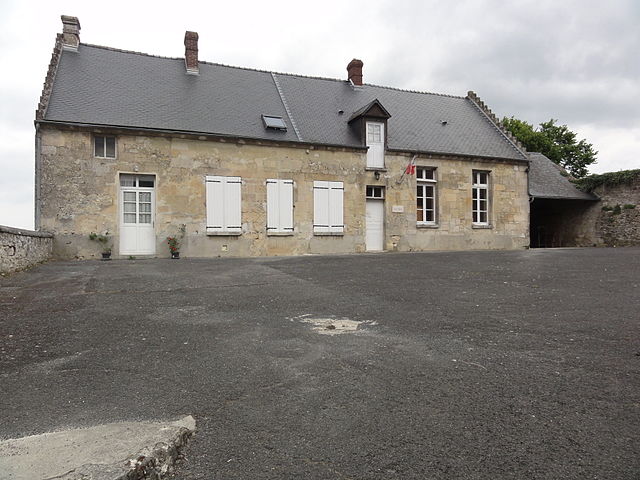
Chelles (Chelles)

- commune in Oise, France
- Country:

- Postal Code: 60350
- Coordinates: 49° 21' 10" N, 3° 2' 4" E


- GPS tracks (wikiloc): [Link]
- Area: 9.08 sq km
- Population: 521
- Wikipedia en: wiki(en)
- Wikipedia: wiki(fr)
- Wikidata storage: Wikidata: Q1047571
- Wikipedia Commons Category: [Link]
- Freebase ID: [/m/0b_t_y]
- GeoNames ID: Alt: [6438628]
- SIREN number: [216001446]
- BnF ID: [15267384t]
- PACTOLS thesaurus ID: [pcrtZ4Ipji9MTo]
- INSEE municipality code: 60145
Shares border with regions:

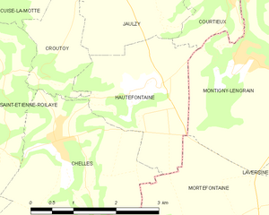
Hautefontaine
- commune in Oise, France
- Country:
- Postal Code: 60350
- Coordinates: 49° 21' 57" N, 3° 3' 41" E
- GPS tracks (wikiloc): [Link]
- Area: 5.57 sq km
- Population: 311


Saint-Étienne-Roilaye
- commune in Oise, France
- Country:
- Postal Code: 60350
- Coordinates: 49° 22' 4" N, 3° 1' 11" E
- GPS tracks (wikiloc): [Link]
- Area: 7.96 sq km
- Population: 326

Retheuil
- commune in Aisne, France
- Country:
- Postal Code: 02600
- Coordinates: 49° 19' 19" N, 3° 0' 37" E
- GPS tracks (wikiloc): [Link]
- Area: 14.87 sq km
- Population: 379
- Web site: [Link]


Croutoy
- commune in Oise, France
- Country:
- Postal Code: 60350
- Coordinates: 49° 23' 11" N, 3° 2' 31" E
- GPS tracks (wikiloc): [Link]
- Area: 3.27 sq km
- Population: 212
Mortefontaine
- commune in Aisne, France
- Country:
- Postal Code: 02600
- Coordinates: 49° 19' 54" N, 3° 4' 34" E
- GPS tracks (wikiloc): [Link]
- Area: 11.9 sq km
- Population: 241