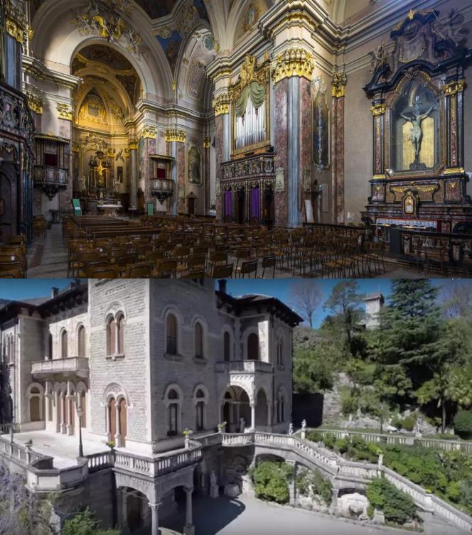
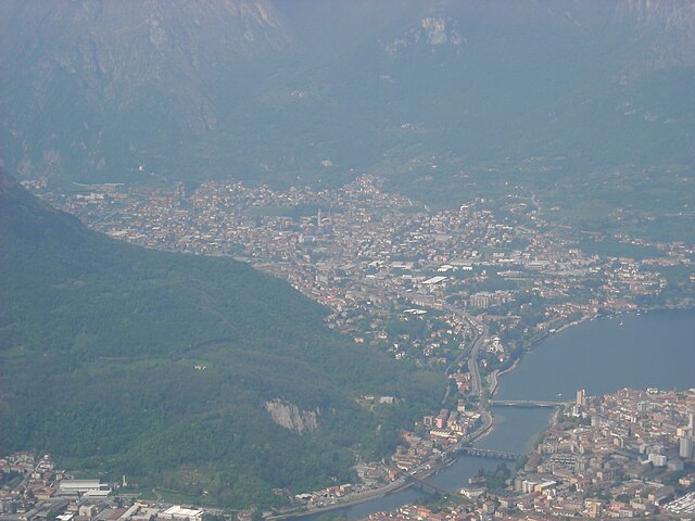
Civate (Civate)
.svg)
- Italian comune
 Hiking in Civate
Civate is a charming town located in the Lombardy region of Italy, not far from Lake Como. It's surrounded by beautiful landscapes, making it a great destination for hiking enthusiasts. Here are some highlights and tips for hiking in and around Civate:
Hiking Trails
-
Monte Gino: One of the popular hikes in the area is to Monte Gino, which offers stunning views of the surrounding mountains and Lake Como. The trail is moderately challenging and is suitable for hikers with some experience.
-
Sentiero del Viandante: This ancient trail runs along the eastern shore of Lake Como and passes near Civate. It offers a variety of scenic views, historic towns, and opportunities to explore the local culture. The trail can be done in sections, making it adaptable for different skill levels.
-
Borrano Valley: A less-known trail that takes you through the lush Borrano Valley. It’s an excellent option for those looking for a quieter hike away from the more popular tourist areas.
Preparation
- Map and GPS: Bring a map of the area or use a GPS device, as some trails may not be well-marked.
- Appropriate Gear: Wear sturdy hiking boots, comfortable clothing, and bring a backpack with water, snacks, and a first-aid kit.
- Weather: Check the weather conditions before heading out, as they can change rapidly in the mountains.
Local Attractions
- Civate's Abbey of San Pietro al Monte: On your hike, consider visiting this significant historical site. It's a beautiful Romanesque abbey located on a hill and can be reached via a well-marked trail.
- Views of Lake Como: Many trails provide breathtaking views of the lake and the surrounding mountains, ideal for photography and a moment of relaxation.
Safety Tips
- Group Hiking: If possible, hike with a partner or a group for safety.
- Leave No Trace: Respect the natural environment by staying on trails and carrying out all trash.
- Emergency Contacts: Familiarize yourself with the local emergency numbers and let someone know your hiking plans.
Overall, Civate offers an appealing mix of nature, history, and stunning landscapes for hikers of all levels. Enjoy your adventure!
- Country:

- Postal Code: 23862
- Local Dialing Code: 0341
- Licence Plate Code: LC
- Coordinates: 45° 50' 0" N, 9° 21' 0" E


- GPS tracks (wikiloc): [Link]
- AboveSeaLevel: 269 м m
- Area: 9.27 sq km
- Population: 3818
- Web site: http://www.comune.civate.lc.it
- Wikipedia en: wiki(en)
- Wikipedia: wiki(it)
- Wikidata storage: Wikidata: Q42469
- Wikipedia Commons Category: [Link]
- Freebase ID: [/m/0gr3lm]
- GeoNames ID: Alt: [6543330]
- VIAF ID: Alt: [248274245]
- OSM relation ID: [46234]
- GND ID: Alt: [4546573-3]
- UN/LOCODE: [ITCVU]
- ISTAT ID: 097022
- Italian cadastre code: C752
Shares border with regions:

Canzo
- Italian comune
Hiking in Canzo
Canzo, located in the Lombardy region of Italy, is a fantastic destination for hiking enthusiasts. Nestled in the foothills of the Italian Alps, it offers stunning landscapes, varied terrains, and plenty of trails suitable for different skill levels. Here are some highlights about hiking in Canzo:...
- Country:
- Postal Code: 22035
- Local Dialing Code: 031
- Licence Plate Code: CO
- Coordinates: 45° 51' 0" N, 9° 16' 0" E
- GPS tracks (wikiloc): [Link]
- AboveSeaLevel: 402 м m
- Area: 11.11 sq km
- Population: 5081
- Web site: [Link]
Cesana Brianza
- Italian comune
Hiking in Cesana Brianza
Cesana Brianza, located in the Lombardy region of Italy, is a charming destination for hiking enthusiasts. This area is characterized by its beautiful landscapes, lush greenery, and stunning views of the surrounding mountains and valleys, making it ideal for outdoor activities....
- Country:
- Postal Code: 23861
- Local Dialing Code: 031
- Licence Plate Code: LC
- Coordinates: 45° 49' 0" N, 9° 18' 0" E
- GPS tracks (wikiloc): [Link]
- AboveSeaLevel: 300 м m
- Area: 3.7 sq km
- Population: 2399
- Web site: [Link]

Valmadrera
- Italian comune
Hiking in Valmadrera
Valmadrera is a charming town located in the province of Lecco, in the Lombardy region of Italy. It is situated near the eastern shore of Lake Como and is surrounded by beautiful natural landscapes, making it a great destination for hiking enthusiasts. Here are some key highlights about hiking in Valmadrera:...
- Country:
- Postal Code: 23868
- Local Dialing Code: 0341
- Licence Plate Code: LC
- Coordinates: 45° 50' 47" N, 9° 21' 30" E
- GPS tracks (wikiloc): [Link]
- AboveSeaLevel: 234 м m
- Area: 12.6 sq km
- Population: 11601
- Web site: [Link]
Suello
- Italian comune
Hiking in Suello
Suello is a picturesque village located in the Lombardy region of Italy, nestled in the foothills of the Italian Alps. The area is known for its stunning natural scenery, making it a great spot for hiking enthusiasts....
- Country:
- Postal Code: 23867
- Local Dialing Code: 031
- Licence Plate Code: LC
- Coordinates: 45° 49' 0" N, 9° 19' 0" E
- GPS tracks (wikiloc): [Link]
- AboveSeaLevel: 275 м m
- Area: 2.63 sq km
- Population: 1766
- Web site: [Link]


Annone di Brianza
- Italian comune
Hiking in Annone di Brianza
Annone di Brianza is a picturesque small town located in the Lombardy region of Italy, nestled between Lake Annone and the surrounding hills. The area offers a variety of hiking options that cater to different skill levels and preferences, making it an excellent choice for outdoor enthusiasts....
- Country:
- Postal Code: 23841
- Local Dialing Code: 0341
- Licence Plate Code: LC
- Coordinates: 45° 48' 14" N, 9° 19' 54" E
- GPS tracks (wikiloc): [Link]
- AboveSeaLevel: 265 м m
- Area: 5.98 sq km
- Population: 2330
- Web site: [Link]
Galbiate
- Italian comune
Hiking in Galbiate
Galbiate, located in the province of Lecco in Lombardy, Italy, is a delightful destination for hiking enthusiasts. Nestled close to Lake Como and surrounded by stunning natural landscapes, it offers various trails catering to different skill levels. Here are some key highlights of hiking in Galbiate:...
- Country:
- Postal Code: 23851
- Local Dialing Code: 0341
- Licence Plate Code: LC
- Coordinates: 45° 48' 0" N, 9° 23' 0" E
- GPS tracks (wikiloc): [Link]
- AboveSeaLevel: 371 м m
- Area: 15.64 sq km
- Population: 8545
- Web site: [Link]