Coivrel (Coivrel)

- commune in Oise, France
- Country:

- Postal Code: 60420
- Coordinates: 49° 33' 10" N, 2° 33' 25" E


- GPS tracks (wikiloc): [Link]
- Area: 6.11 sq km
- Population: 258
- Wikipedia en: wiki(en)
- Wikipedia: wiki(fr)
- Wikidata storage: Wikidata: Q1098199
- Wikipedia Commons Category: [Link]
- Freebase ID: [/m/03qg706]
- GeoNames ID: Alt: [3024368]
- SIREN number: [216001578]
- BnF ID: [152673975]
- INSEE municipality code: 60158
Shares border with regions:


Tricot
- commune in Oise, France
- Country:
- Postal Code: 60420
- Coordinates: 49° 33' 40" N, 2° 35' 20" E
- GPS tracks (wikiloc): [Link]
- Area: 11.91 sq km
- Population: 1504


Saint-Martin-aux-Bois
- commune in Oise, France
- Country:
- Postal Code: 60420
- Coordinates: 49° 31' 16" N, 2° 34' 15" E
- GPS tracks (wikiloc): [Link]
- Area: 9.31 sq km
- Population: 289
- Web site: [Link]


Montgérain
- commune in Oise, France
- Country:
- Postal Code: 60420
- Coordinates: 49° 32' 13" N, 2° 34' 30" E
- GPS tracks (wikiloc): [Link]
- Area: 4.91 sq km
- Population: 184


Godenvillers
- commune in Oise, France
- Country:
- Postal Code: 60420
- Coordinates: 49° 35' 20" N, 2° 33' 10" E
- GPS tracks (wikiloc): [Link]
- Area: 5.18 sq km
- Population: 219
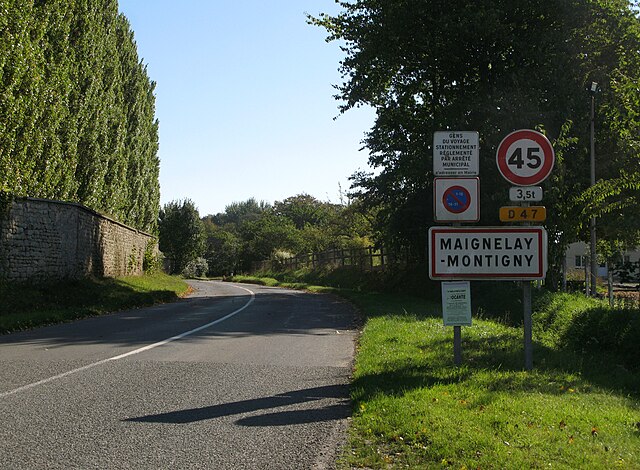

Maignelay-Montigny
- commune in Oise, France
- Country:
- Postal Code: 60420
- Coordinates: 49° 33' 8" N, 2° 31' 13" E
- GPS tracks (wikiloc): [Link]
- Area: 18.79 sq km
- Population: 2703
- Web site: [Link]