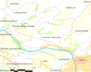
Colayrac-Saint-Cirq (Colayrac-Saint-Cirq)
- commune in Lot-et-Garonne, France
- Country:

- Postal Code: 47450
- Coordinates: 44° 13' 11" N, 0° 33' 10" E


- GPS tracks (wikiloc): [Link]
- Area: 21.36 sq km
- Population: 2989
- Web site: http://www.colayrac-saint-cirq.fr
- Wikipedia en: wiki(en)
- Wikipedia: wiki(fr)
- Wikidata storage: Wikidata: Q727445
- Wikipedia Commons Category: [Link]
- Freebase ID: [/m/03qm14s]
- GeoNames ID: Alt: [6449308]
- SIREN number: [214700692]
- BnF ID: [15261150h]
- PACTOLS thesaurus ID: [pcrtLPhP7BIAKR]
- INSEE municipality code: 47069
Shares border with regions:

Foulayronnes
- commune in Lot-et-Garonne, France
- Country:

- Postal Code: 47510
- Coordinates: 44° 14' 22" N, 0° 38' 53" E


- GPS tracks (wikiloc): [Link]
- Area: 28.86 sq km
- Population: 5307
- Web site: [Link]


Le Passage
- commune in Lot-et-Garonne, France
- Country:

- Postal Code: 47520
- Coordinates: 44° 12' 5" N, 0° 36' 12" E


- GPS tracks (wikiloc): [Link]
- AboveSeaLevel: 50 м m
- Area: 12.89 sq km
- Population: 9607
- Web site: [Link]


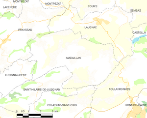
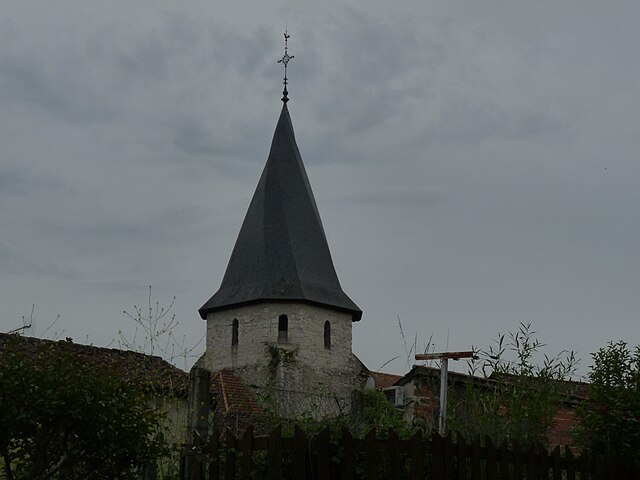
Madaillan
- commune in Lot-et-Garonne, France
- Country:

- Postal Code: 47360
- Coordinates: 44° 16' 37" N, 0° 34' 26" E


- GPS tracks (wikiloc): [Link]
- Area: 24.39 sq km
- Population: 656


Sérignac-sur-Garonne
- commune in Lot-et-Garonne, France
- Country:

- Postal Code: 47310
- Coordinates: 44° 12' 49" N, 0° 29' 6" E


- GPS tracks (wikiloc): [Link]
- Area: 8.91 sq km
- Population: 1150
- Web site: [Link]


Sainte-Colombe-en-Bruilhois
- commune in Lot-et-Garonne, France
- Country:

- Postal Code: 47310
- Coordinates: 44° 10' 39" N, 0° 30' 57" E


- GPS tracks (wikiloc): [Link]
- Area: 21.15 sq km
- Population: 1659
- Web site: [Link]


Saint-Hilaire-de-Lusignan
- commune in Lot-et-Garonne, France
- Country:

- Postal Code: 47450
- Coordinates: 44° 13' 35" N, 0° 30' 45" E


- GPS tracks (wikiloc): [Link]
- AboveSeaLevel: 45 м m
- Area: 16.77 sq km
- Population: 1505
- Web site: [Link]


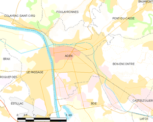
Agen
- commune in Lot-et-Garonne, France
- Country:

- Postal Code: 47000
- Coordinates: 44° 12' 11" N, 0° 37' 7" E


- GPS tracks (wikiloc): [Link]
- AboveSeaLevel: 48 м m
- Area: 11.49 sq km
- Population: 33988
- Web site: [Link]

Brax
- commune in Lot-et-Garonne, France
- Country:

- Postal Code: 47310
- Coordinates: 44° 12' 11" N, 0° 33' 6" E


- GPS tracks (wikiloc): [Link]
- Area: 8.8 sq km
- Population: 2060
- Web site: [Link]
