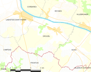
Corbarieu (Corbarieu)

- commune in Tarn-et-Garonne, France
- Country:

- Postal Code: 82370
- Coordinates: 43° 56' 39" N, 1° 22' 6" E


- GPS tracks (wikiloc): [Link]
- Area: 13.03 sq km
- Population: 1663
- Web site: http://www.corbarieu.fr
- Wikipedia en: wiki(en)
- Wikipedia: wiki(fr)
- Wikidata storage: Wikidata: Q832072
- Wikipedia Commons Category: [Link]
- Freebase ID: [/m/03qg2ww]
- Freebase ID: [/m/03qg2ww]
- GeoNames ID: Alt: [6451414]
- GeoNames ID: Alt: [6451414]
- SIREN number: [218200442]
- SIREN number: [218200442]
- BnF ID: [152776767]
- BnF ID: [152776767]
- VIAF ID: Alt: [237428309]
- VIAF ID: Alt: [237428309]
- GND ID: Alt: [4357907-3]
- GND ID: Alt: [4357907-3]
- INSEE municipality code: 82044
- INSEE municipality code: 82044
Shares border with regions:

Orgueil
- commune in Tarn-et-Garonne, France
- Country:
- Postal Code: 82370
- Coordinates: 43° 54' 16" N, 1° 24' 40" E
- GPS tracks (wikiloc): [Link]
- Area: 14.03 sq km
- Population: 1626
- Web site: [Link]


Reyniès
- commune in Tarn-et-Garonne, France
- Country:
- Postal Code: 82370
- Coordinates: 43° 55' 2" N, 1° 23' 54" E
- GPS tracks (wikiloc): [Link]
- Area: 9.94 sq km
- Population: 863
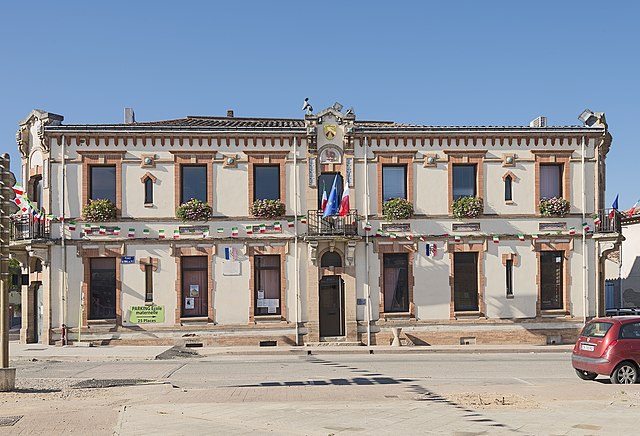
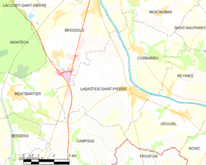
Labastide-Saint-Pierre
- commune in Tarn-et-Garonne, France
- Country:
- Postal Code: 82370
- Coordinates: 43° 55' 6" N, 1° 22' 4" E
- GPS tracks (wikiloc): [Link]
- Area: 20.64 sq km
- Population: 3599
- Web site: [Link]

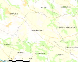
Saint-Nauphary
- commune in Tarn-et-Garonne, France
- Country:
- Postal Code: 82370
- Coordinates: 43° 57' 53" N, 1° 25' 42" E
- GPS tracks (wikiloc): [Link]
- Area: 24.43 sq km
- Population: 1820
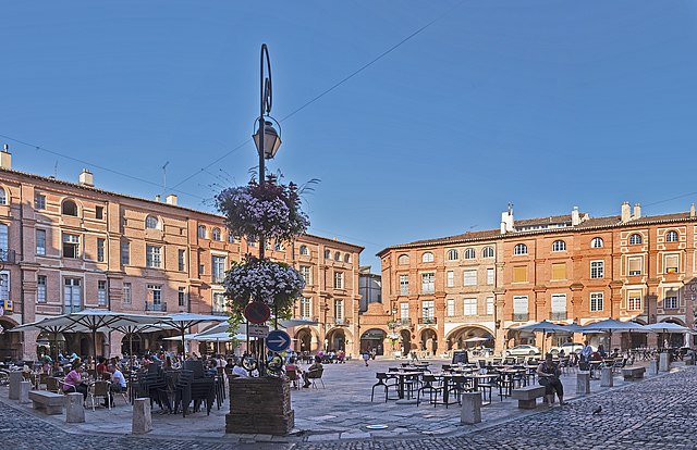

Montauban
- commune in Tarn-et-Garonne, France
- Country:
- Postal Code: 82000
- Coordinates: 44° 1' 2" N, 1° 21' 18" E
- GPS tracks (wikiloc): [Link]
- Area: 135.17 sq km
- Population: 59982
- Web site: [Link]