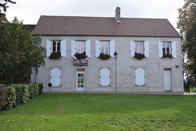
Courpalay (Courpalay)

- commune in Seine-et-Marne, France
- Country:

- Postal Code: 77540
- Coordinates: 48° 38' 54" N, 2° 57' 34" E


- GPS tracks (wikiloc): [Link]
- Area: 14.56 sq km
- Population: 1409
- Web site: http://www.courpalay.fr
- Wikipedia en: wiki(en)
- Wikipedia: wiki(fr)
- Wikidata storage: Wikidata: Q272089
- Wikipedia Commons Category: [Link]
- Freebase ID: [/m/02qbxmb]
- Freebase ID: [/m/02qbxmb]
- GeoNames ID: Alt: [6443625]
- GeoNames ID: Alt: [6443625]
- SIREN number: [217701358]
- SIREN number: [217701358]
- BnF ID: [152754766]
- BnF ID: [152754766]
- INSEE municipality code: 77135
- INSEE municipality code: 77135
Shares border with regions:


Bernay-Vilbert
- commune in Seine-et-Marne, France
- Country:
- Postal Code: 77540
- Coordinates: 48° 40' 33" N, 2° 56' 16" E
- GPS tracks (wikiloc): [Link]
- Area: 16.92 sq km
- Population: 832
- Web site: [Link]
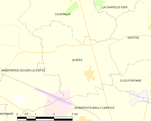
Quiers
- commune in Seine-et-Marne, France
- Country:
- Postal Code: 77720
- Coordinates: 48° 36' 27" N, 2° 58' 12" E
- GPS tracks (wikiloc): [Link]
- Area: 11.91 sq km
- Population: 672


Gastins
- commune in Seine-et-Marne, France
- Country:
- Postal Code: 77370
- Coordinates: 48° 37' 42" N, 3° 1' 11" E
- GPS tracks (wikiloc): [Link]
- Area: 14.95 sq km
- Population: 706


La Chapelle-Iger
- commune in Seine-et-Marne, France
- Country:
- Postal Code: 77540
- Coordinates: 48° 39' 11" N, 2° 59' 18" E
- GPS tracks (wikiloc): [Link]
- Area: 8.73 sq km
- Population: 160


Aubepierre-Ozouer-le-Repos
- commune in Seine-et-Marne, France
- Country:
- Postal Code: 77720
- Coordinates: 48° 37' 53" N, 2° 53' 13" E
- GPS tracks (wikiloc): [Link]
- Area: 26.83 sq km
- Population: 910
- Web site: [Link]