Couze-et-Saint-Front (Couze-et-Saint-Front)

- commune in Dordogne, France
- Country:

- Postal Code: 24150
- Coordinates: 44° 49' 38" N, 0° 42' 22" E


- GPS tracks (wikiloc): [Link]
- Area: 8.19 sq km
- Population: 726
- Web site: http://www.couze-et-saint-front.fr/
- Wikipedia en: wiki(en)
- Wikipedia: wiki(fr)
- Wikidata storage: Wikidata: Q662903
- Wikipedia Commons Category: [Link]
- Freebase ID: [/m/03mg5t7]
- Freebase ID: [/m/03mg5t7]
- GeoNames ID: Alt: [3022752]
- GeoNames ID: Alt: [3022752]
- SIREN number: [212401434]
- SIREN number: [212401434]
- BnF ID: [152517937]
- BnF ID: [152517937]
- VIAF ID: Alt: [248282025]
- VIAF ID: Alt: [248282025]
- PACTOLS thesaurus ID: [pcrtlTt3jgGYu2]
- PACTOLS thesaurus ID: [pcrtlTt3jgGYu2]
- MusicBrainz area ID: [b5dc5d0d-3cb7-4fae-b87d-14bd0d8c1fbd]
- MusicBrainz area ID: [b5dc5d0d-3cb7-4fae-b87d-14bd0d8c1fbd]
- INSEE municipality code: 24143
- INSEE municipality code: 24143
Shares border with regions:

Bayac
- commune in Dordogne, France
- Country:
- Postal Code: 24150
- Coordinates: 44° 48' 14" N, 0° 43' 34" E
- GPS tracks (wikiloc): [Link]
- Area: 10.23 sq km
- Population: 347
- Web site: [Link]
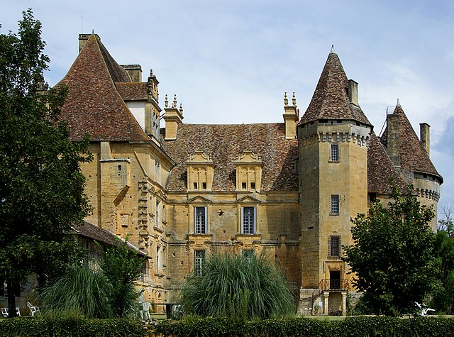
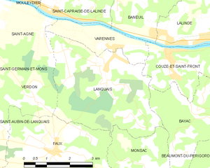
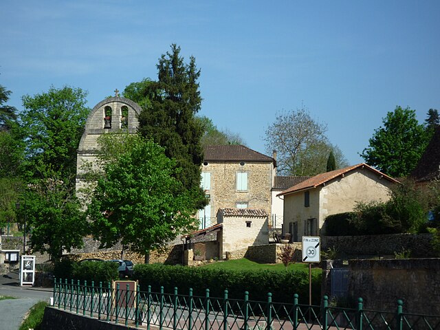
Lanquais
- commune in Dordogne, France
- Country:
- Postal Code: 24150
- Coordinates: 44° 49' 24" N, 0° 40' 12" E
- GPS tracks (wikiloc): [Link]
- Area: 14.48 sq km
- Population: 499


Lalinde
- commune in Dordogne, France
- Country:
- Postal Code: 24150
- Coordinates: 44° 50' 13" N, 0° 44' 17" E
- GPS tracks (wikiloc): [Link]
- Area: 27.7 sq km
- Population: 2848
- Web site: [Link]

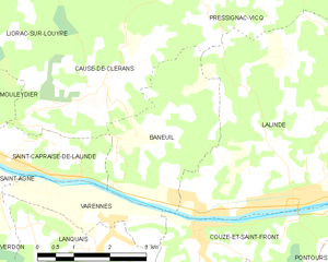
Baneuil
- commune in Dordogne, France
- Country:
- Postal Code: 24150
- Coordinates: 44° 51' 11" N, 0° 41' 22" E
- GPS tracks (wikiloc): [Link]
- Area: 8.89 sq km
- Population: 355
- Web site: [Link]