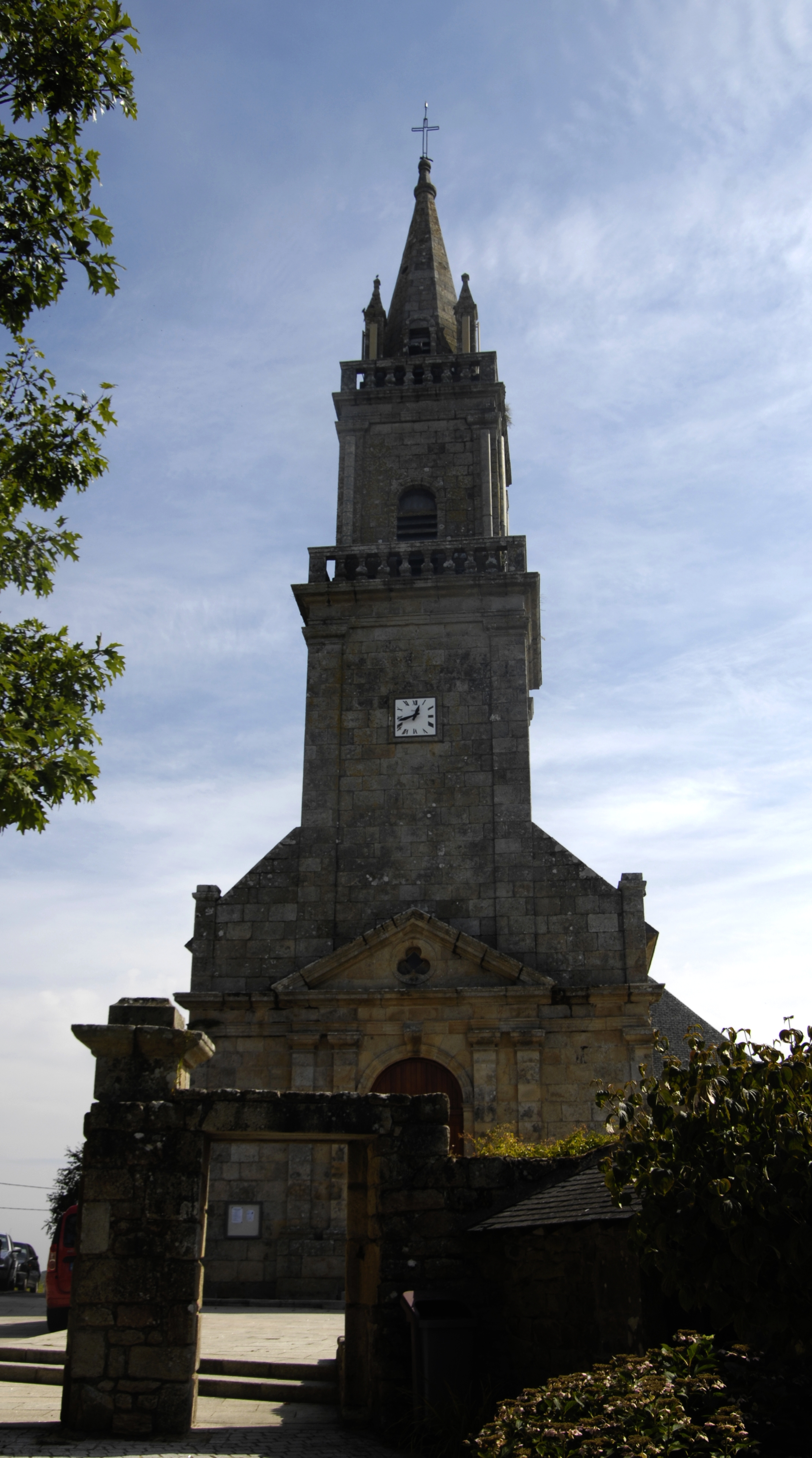
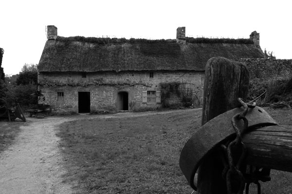
Crac'h (Crach)

- commune in Morbihan, France
- Country:

- Postal Code: 56950
- Coordinates: 47° 37' 2" N, 3° 0' 5" E


- GPS tracks (wikiloc): [Link]
- Area: 30.54 sq km
- Population: 3318
- Web site: http://www.crach.fr
- Wikipedia en: wiki(en)
- Wikipedia: wiki(fr)
- Wikidata storage: Wikidata: Q71283
- Wikipedia Commons Category: [Link]
- Freebase ID: [/m/03c3vkw]
- GeoNames ID: Alt: [6449846]
- SIREN number: [215600461]
- BnF ID: [152652962]
- VIAF ID: Alt: [245428813]
- GND ID: Alt: [4757507-4]
- INSEE municipality code: 56046
Shares border with regions:


Saint-Philibert
- commune in Morbihan, France
- Country:
- Postal Code: 56470
- Coordinates: 47° 35' 12" N, 3° 0' 0" E
- GPS tracks (wikiloc): [Link]
- Area: 7.05 sq km
- Population: 1529
- Web site: [Link]

Ploemel
- commune in Morbihan, France
- Country:
- Postal Code: 56400
- Coordinates: 47° 39' 2" N, 3° 4' 20" E
- GPS tracks (wikiloc): [Link]
- Area: 25.16 sq km
- Population: 2787
- Web site: [Link]

Brech
- commune in Morbihan, France
- Country:
- Postal Code: 56400
- Coordinates: 47° 43' 17" N, 2° 59' 55" E
- GPS tracks (wikiloc): [Link]
- Area: 40.86 sq km
- Population: 6661
- Web site: [Link]
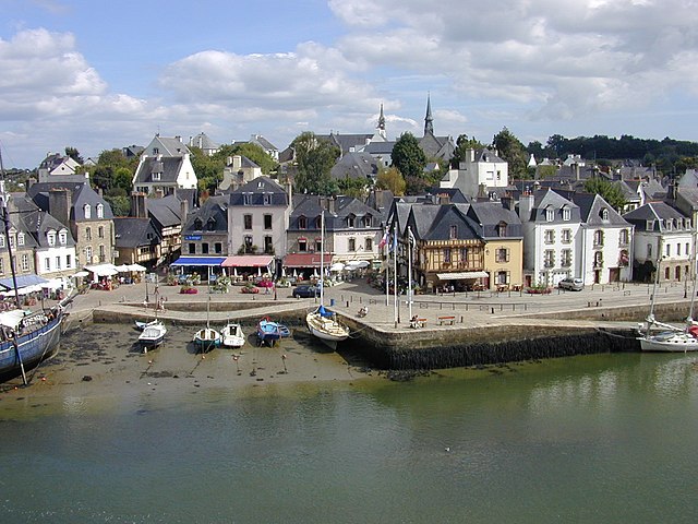

Auray
- commune in Morbihan, France
- Country:
- Postal Code: 56400
- Coordinates: 47° 40' 4" N, 2° 58' 57" E
- GPS tracks (wikiloc): [Link]
- AboveSeaLevel: 37 м m
- Area: 6.91 sq km
- Population: 13746
- Web site: [Link]


Carnac
- commune in Morbihan, France
- Country:
- Postal Code: 56340
- Coordinates: 47° 35' 5" N, 3° 4' 40" E
- GPS tracks (wikiloc): [Link]
- AboveSeaLevel: 16 м m
- Area: 32.71 sq km
- Population: 4236
- Web site: [Link]


Locmariaquer
- commune in Morbihan, France
- Country:
- Postal Code: 56740
- Coordinates: 47° 34' 9" N, 2° 56' 43" E
- GPS tracks (wikiloc): [Link]
- Area: 10.99 sq km
- Population: 1565
- Web site: [Link]