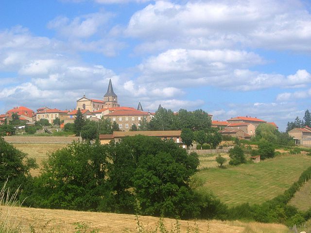
Croizet-sur-Gand (Croizet-sur-Gand)

- commune in Loire, France
- Country:

- Postal Code: 42540
- Coordinates: 45° 54' 57" N, 4° 13' 47" E


- GPS tracks (wikiloc): [Link]
- Area: 5.98 sq km
- Population: 316
- Wikipedia en: wiki(en)
- Wikipedia: wiki(fr)
- Wikidata storage: Wikidata: Q1066041
- Wikipedia Commons Category: [Link]
- Freebase ID: [/m/03nw81c]
- Freebase ID: [/m/03nw81c]
- GeoNames ID: Alt: [6448995]
- GeoNames ID: Alt: [6448995]
- SIREN number: [214200776]
- SIREN number: [214200776]
- BnF ID: [15259646c]
- BnF ID: [15259646c]
- INSEE municipality code: 42077
- INSEE municipality code: 42077
Shares border with regions:


Fourneaux
- commune in Loire, France
- Country:
- Postal Code: 42470
- Coordinates: 45° 56' 13" N, 4° 16' 10" E
- GPS tracks (wikiloc): [Link]
- AboveSeaLevel: 530 м m
- Area: 12.17 sq km
- Population: 596

Saint-Symphorien-de-Lay
- commune in Loire, France
- Country:
- Postal Code: 42470
- Coordinates: 45° 56' 52" N, 4° 12' 42" E
- GPS tracks (wikiloc): [Link]
- Area: 33.57 sq km
- Population: 1897


Saint-Just-la-Pendue
- commune in Loire, France
- Country:
- Postal Code: 42540
- Coordinates: 45° 53' 39" N, 4° 14' 35" E
- GPS tracks (wikiloc): [Link]
- Area: 19.88 sq km
- Population: 1658
- Web site: [Link]
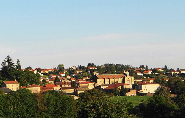
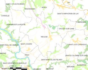
Neulise
- commune in Loire, France
- Country:
- Postal Code: 42590
- Coordinates: 45° 54' 8" N, 4° 10' 48" E
- GPS tracks (wikiloc): [Link]
- Area: 22.99 sq km
- Population: 1324
- Web site: [Link]