Crollon (Crollon)

- commune in Manche, France
- Country:

- Postal Code: 50220
- Coordinates: 48° 35' 6" N, 1° 23' 3" E


- GPS tracks (wikiloc): [Link]
- Area: 4.68 sq km
- Population: 299
- Wikipedia en: wiki(en)
- Wikipedia: wiki(fr)
- Wikidata storage: Wikidata: Q1003525
- Wikipedia Commons Category: [Link]
- Freebase ID: [/m/03qcr05]
- Freebase ID: [/m/03qcr05]
- GeoNames ID: Alt: [6618291]
- GeoNames ID: Alt: [6618291]
- SIREN number: [215001553]
- SIREN number: [215001553]
- BnF ID: [15262132t]
- BnF ID: [15262132t]
- INSEE municipality code: 50155
- INSEE municipality code: 50155
Shares border with regions:

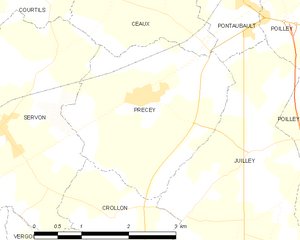
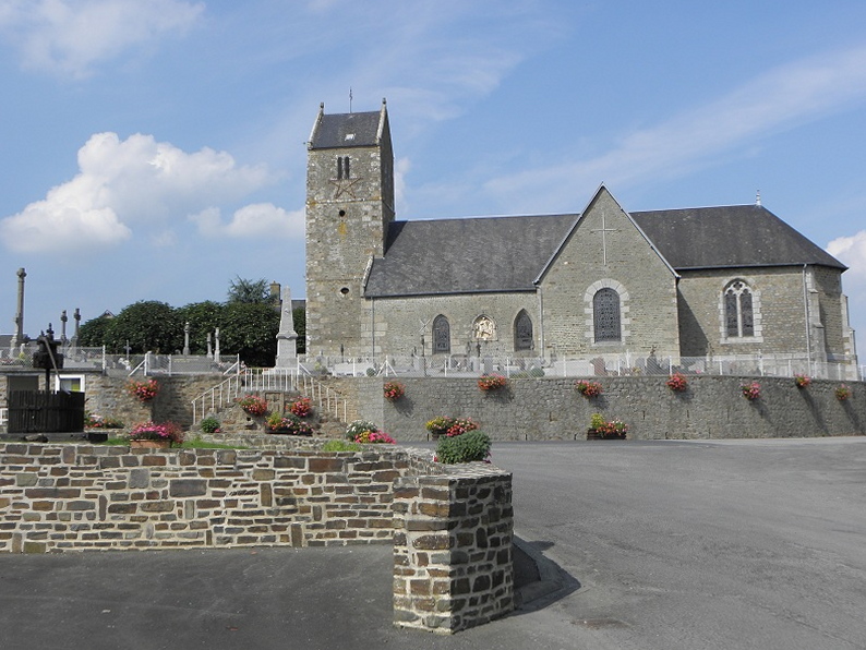
Précey
- commune in Manche, France
- Country:
- Postal Code: 50220
- Coordinates: 48° 36' 27" N, 1° 22' 39" E
- GPS tracks (wikiloc): [Link]
- Area: 7.73 sq km
- Population: 539
- Web site: [Link]


Vergoncey
- former commune in Manche, France
- Country:
- Postal Code: 50240
- Coordinates: 48° 33' 42" N, 1° 23' 58" E
- GPS tracks (wikiloc): [Link]
- Area: 7.73 sq km
- Population: 202

Juilley
- commune in Manche, France
- Country:
- Postal Code: 50220
- Coordinates: 48° 35' 58" N, 1° 20' 38" E
- GPS tracks (wikiloc): [Link]
- Area: 11.23 sq km
- Population: 688

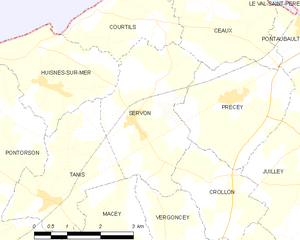
Servon
- commune in Manche, France
- Country:
- Postal Code: 50170
- Coordinates: 48° 36' 2" N, 1° 25' 8" E
- GPS tracks (wikiloc): [Link]
- Area: 9.23 sq km
- Population: 274